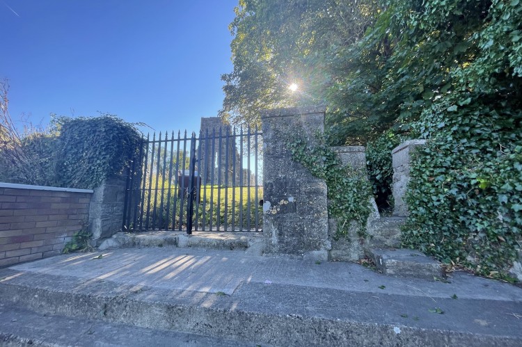
Esker South,
Dublin,
Ireland
Coordinates: 53.349550, -6.437726
Summary
Graveyard Code:
DU-STFI-
RMP/Site number:
DU017-022002-
Townland:
Esker South
County:
Number of Memorials:
68
Description
A visual representation of the frequency of surnames:


According to the National Monuments Service (www.archaeology.ie) "This roughly rectangular graveyard encloses the remains of a large medieval church (DU017-022001-). It contains 18th century memorials. It is enclosed by a masonry wall and townland boundary."
Surveyed as part of a community heritage project run by the Society for Old Lucan (https://soc4oldlucan.wordpress.com/). Originally surveyed by Dr MJ Egan in 1989 and subesequently by the SOL in 2021. The current work is funded by the 2022 Heritage Council grant scheme.
https://source.southdublinlibraries.ie/handle/10599/12242
https://www.facebook.com/watch/?v=616367506243990&extid=CL-UNK-UNK-UNK-A...
https://soc4oldlucan.wordpress.com/2021/03/24/history-of-esker-st-finian...