Cavan,
Ireland
Coordinates: 54.038262, -7.051549


Coordinates: 54.038262, -7.051549

| Photo | Grave | Name | Surname |
|---|---|---|---|
 |
CV-DRGN-0651 | ||
 |
CV-DRGN-0652 |
|
|
 |
CV-DRGN-0653 | ||
 |
CV-DRGN-0654 | ||
 |
CV-DRGN-0655 | ||
 |
CV-DRGN-0656 | ||
 |
CV-DRGN-0657 | ||
 |
CV-DRGN-0658 | ||
 |
CV-DRGN-0659 | ||
 |
CV-DRGN-0660 | ||
 |
CV-DRGN-0661 | ||
 |
CV-DRGN-0662 | ||
 |
CV-DRGN-0663 | ||
 |
CV-DRGN-0664 | ||
 |
CV-DRGN-0665 | ||
 |
CV-DRGN-0666 | ||
 |
CV-DRGN-0667 |
|
|
 |
CV-DRGN-0668 | ||
 |
CV-DRGN-0669 | ||
 |
CV-DRGN-0670 |
|
|
 |
CV-DRGN-0671 | ||
 |
CV-DRGN-0672 | ||
 |
CV-DRGN-0673 |
|
|
 |
CV-DRGN-0674 | ||
 |
CV-DRGN-0675 |

![]()
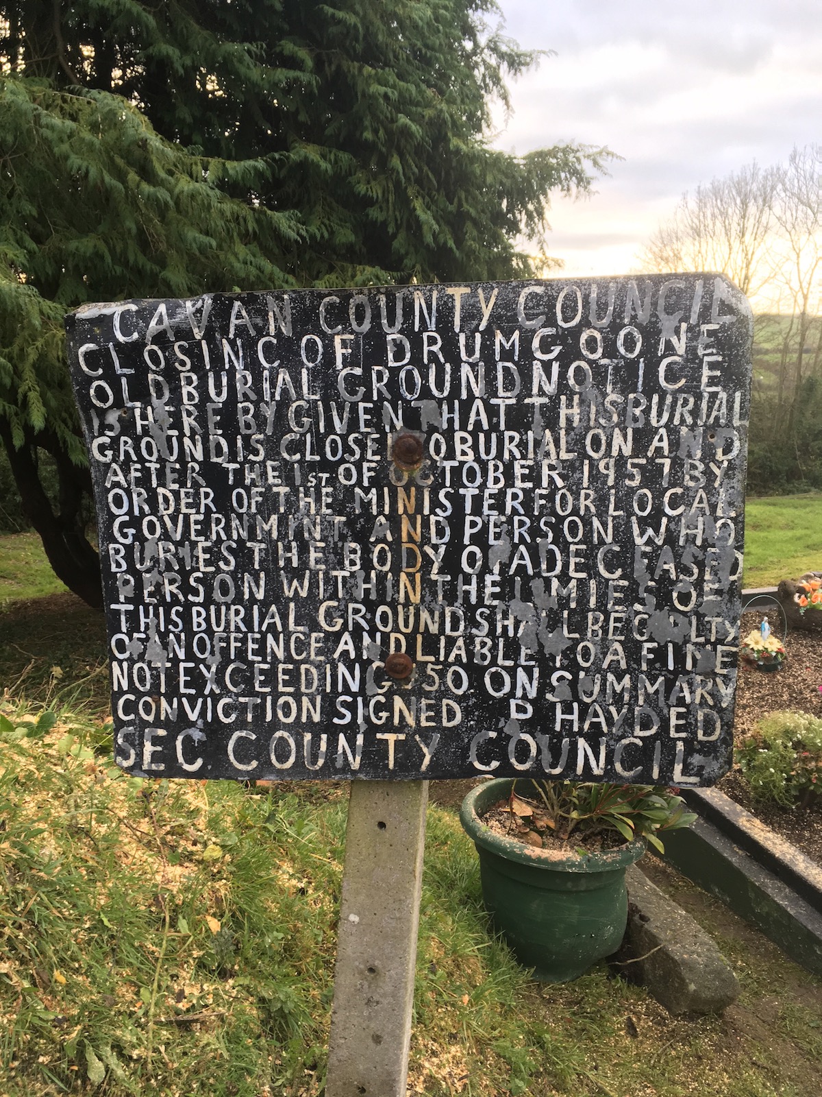
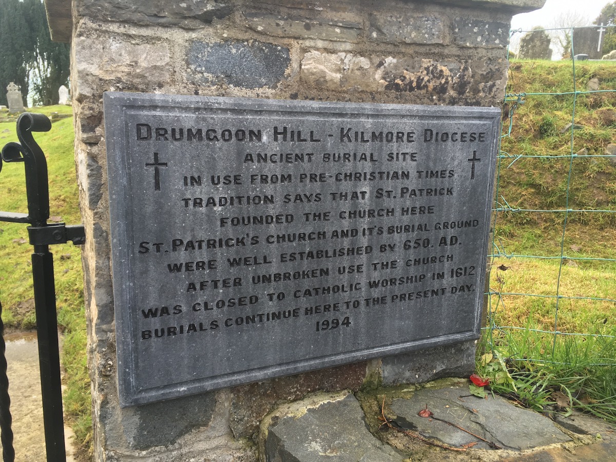
This survey was conducted as part of a community heritage project funded by Cavan County Council & the Heritage Council and community liaison was by Architectural Recording & Research (AR&R www.arr.ie).
Drumgoon Hill survey is a later element of a highly detailed community survey designed and overseen by Mr Kevin Barton of www.lgs.ie.