Dublin,
Ireland
Coordinates: 53.342528, -6.281310
Summary
Graveyard Code:
DU-STCA
RMP/Site number:
DU018-020074
Townland:
Dublin South City
County:

Coordinates: 53.342528, -6.281310
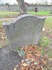
| Photo | Grave | Name | Surname |
|---|---|---|---|
 |
DU-STCA-0051 | ||
 |
DU-STCA-0052 | ||
 |
DU-STCA-0053 | ||
 |
DU-STCA-0054 | ||
 |
DU-STCA-0055 | ||
 |
DU-STCA-0056 |
|
|
 |
DU-STCA-0057 | ||
 |
DU-STCA-0058 | ||
 |
DU-STCA-0059 | ||
 |
DU-STCA-0060 | ||
 |
DU-STCA-0061 | ||
 |
DU-STCA-0062 | ||
 |
DU-STCA-0063 |
|
|
 |
DU-STCA-0064 |
|
|
 |
DU-STCA-0065 |

![]()

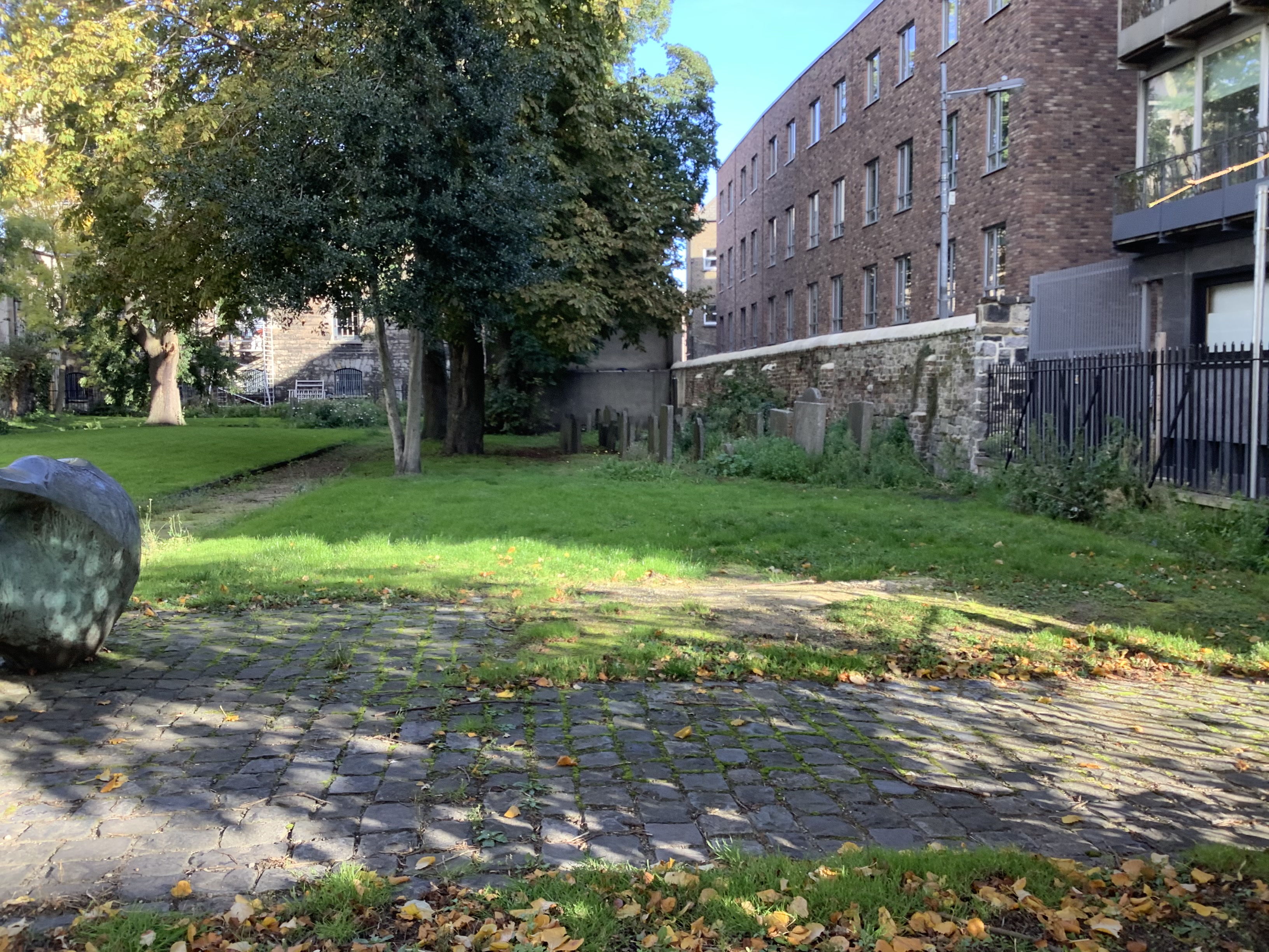

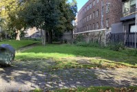
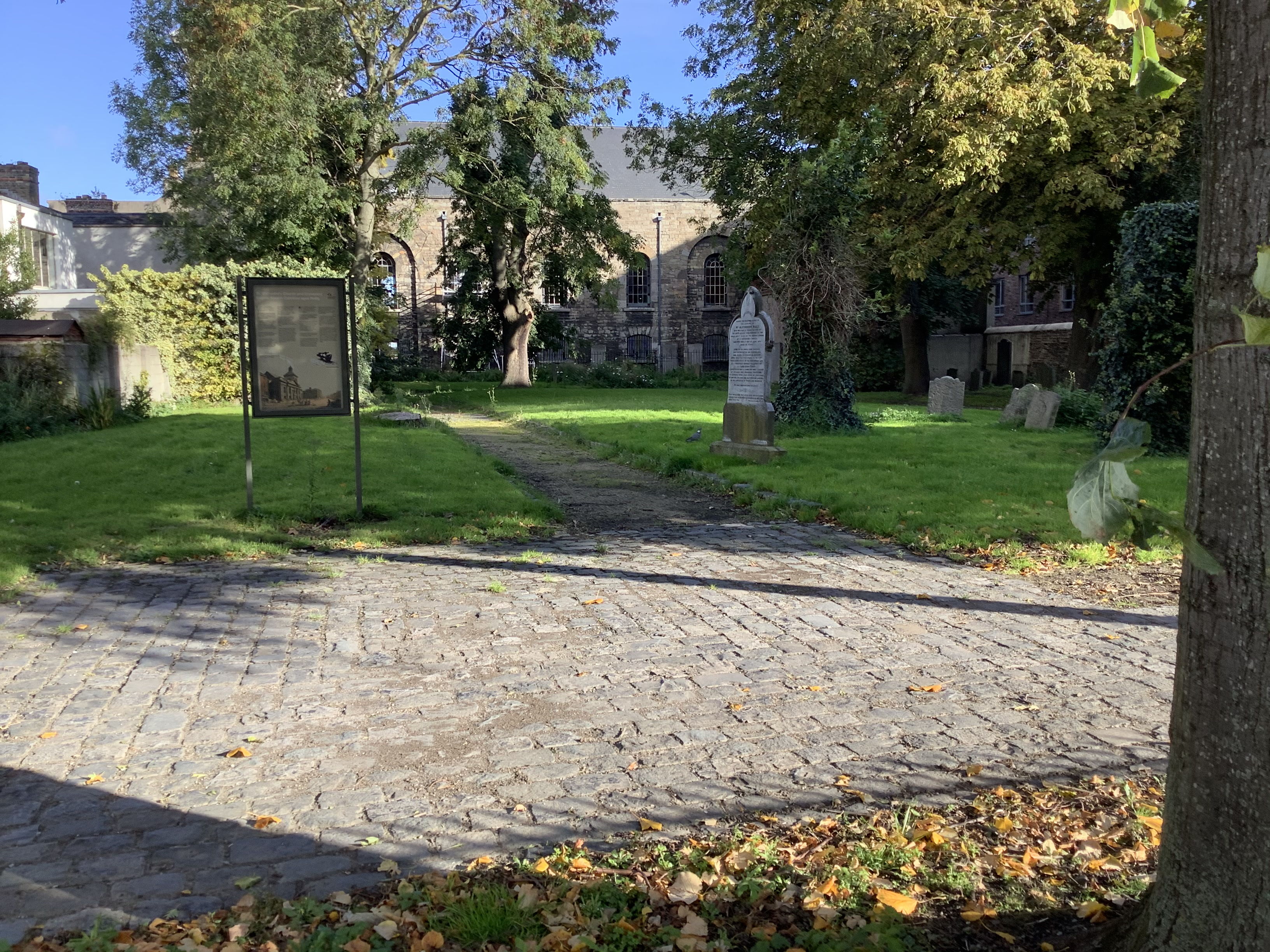
The present St. Catherine's Church occupies the site of an early 13th century medieval parish church. The earliest reference to a church at this site occurs in Crede Mihi (1212-25). It was appropriated to the Augustinian priory of St. Thomas and subsequently to the Earls of Meath. Shown on Speed's map of 1610 as 'St Cathren church', a rectangular building with a tower at the W end. It has a bell of 1671, which was recast in 1896.