Rathbarry,
Cork,
Ireland
Coordinates: 51.566222, -8.972725

Description
Project:

Coordinates: 51.566222, -8.972725


| Photo | Grave | Name | Surname |
|---|---|---|---|
 |
CO-RTHY-0026 |
|
|
 |
CO-RTHY-0027 | ||
 |
CO-RTHY-0028 |
|
|
 |
CO-RTHY-0029 |
|
|
 |
CO-RTHY-0030 |
|
|
 |
CO-RTHY-0031 | ||
 |
CO-RTHY-0032 |
|
|
 |
CO-RTHY-0033 | ||
 |
CO-RTHY-0034 |
|
|
 |
CO-RTHY-0035 |
|
|
 |
CO-RTHY-0036 | ||
 |
CO-RTHY-0037 | ||
 |
CO-RTHY-0038 | ||
 |
CO-RTHY-0039 |
|
|
 |
CO-RTHY-0040 | ||
 |
CO-RTHY-0041 | ||
 |
CO-RTHY-0042 | ||
 |
CO-RTHY-0043 | ||
 |
CO-RTHY-0044 | ||
 |
CO-RTHY-0045 | ||
 |
CO-RTHY-0046 |
|
|
 |
CO-RTHY-0047 | ||
 |
CO-RTHY-0048 |
|
|
 |
CO-RTHY-0049 | ||
 |
CO-RTHY-0050 |
|
|

![]()
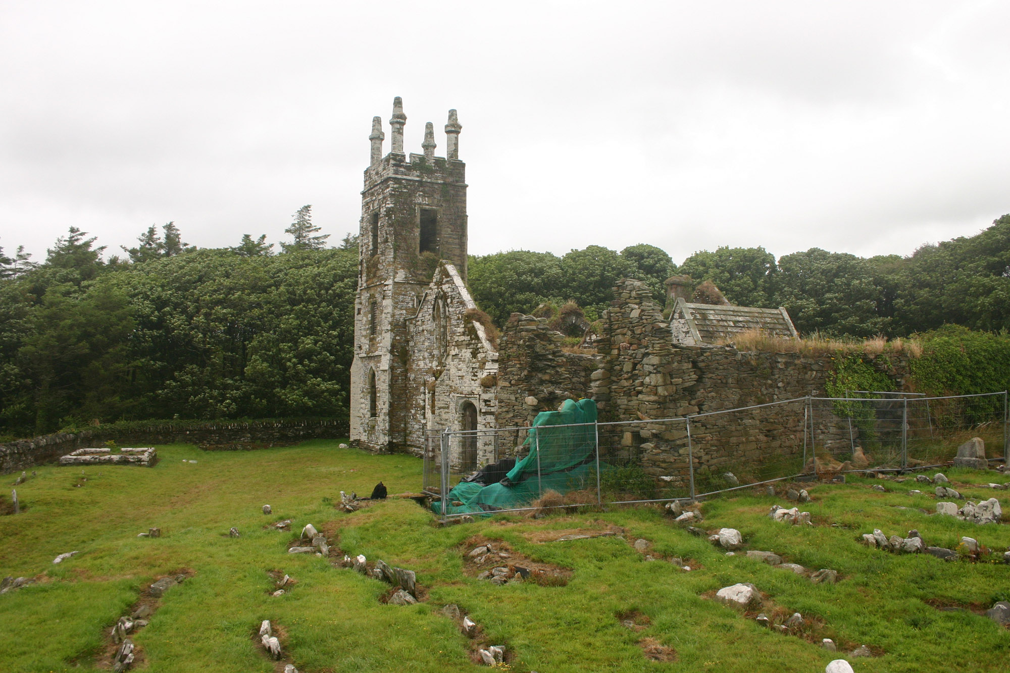
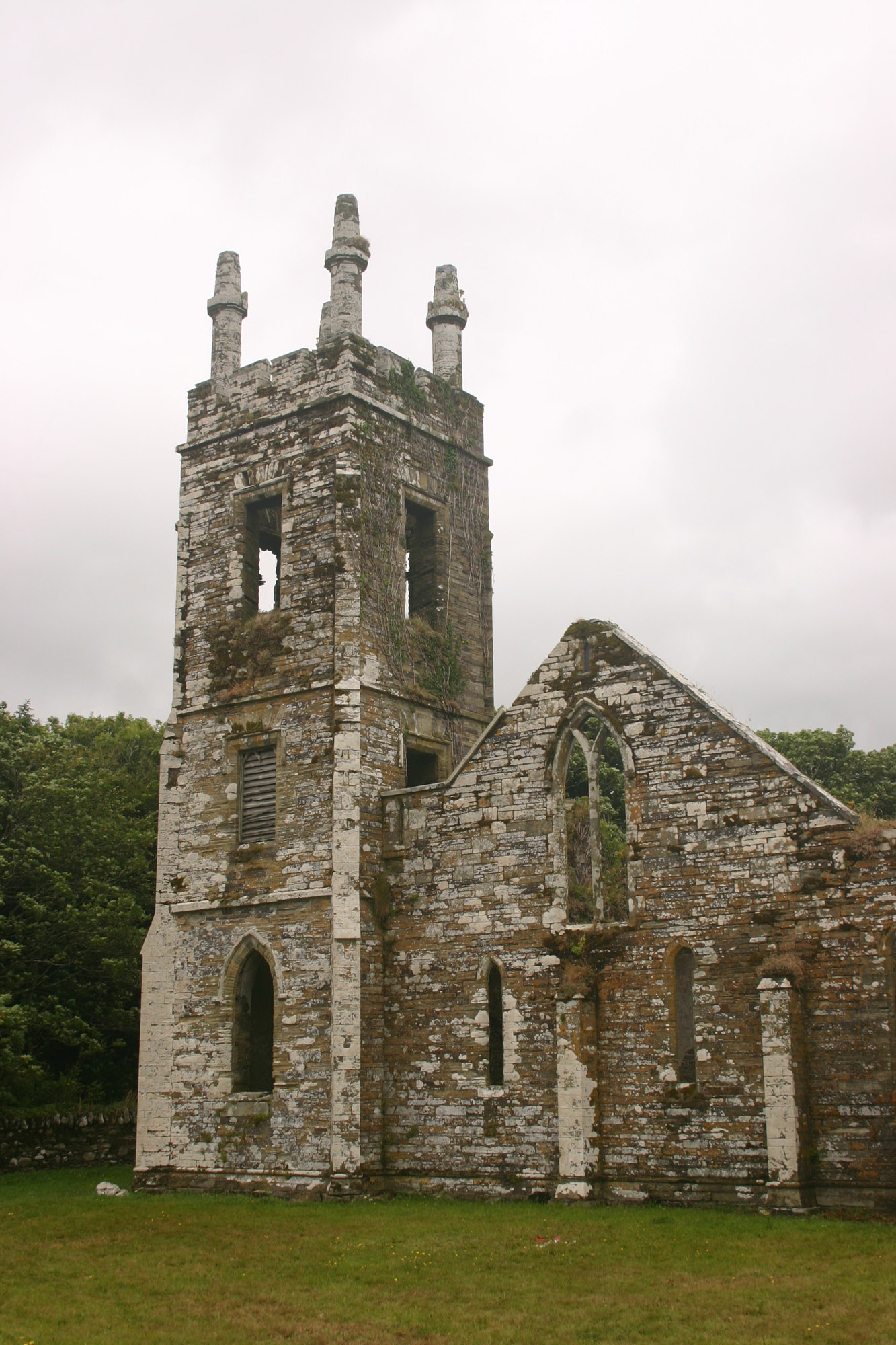
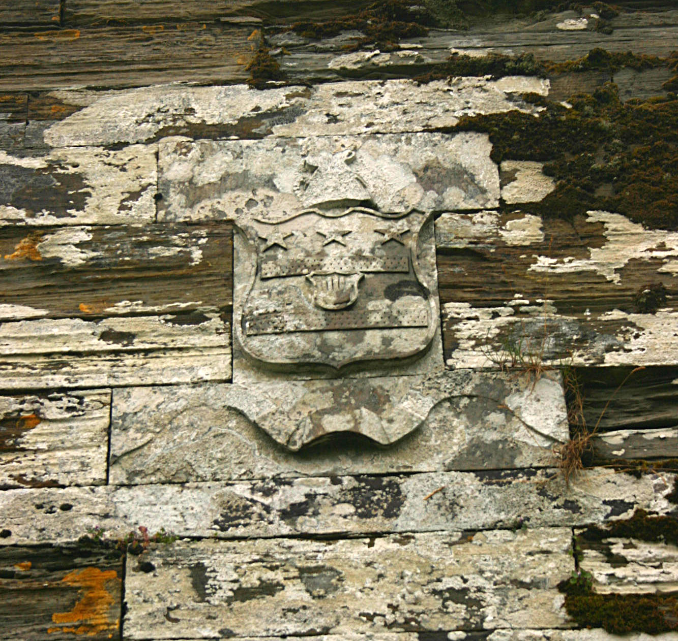
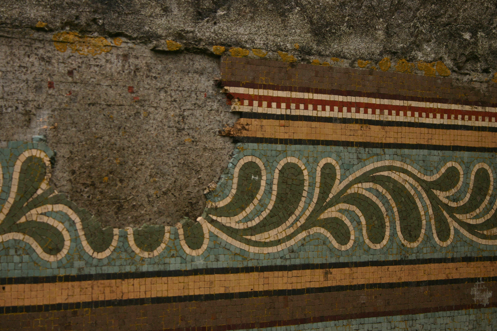
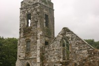
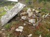
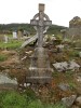
Rectangular graveyard on gentle slope overlooking Long Strand to S, within the Castlefreke demesne. Contains ruins of the old parish church of Rathbarry (CO143-076002-) and the well preserved ruins of C of I parish church (CO143-076002-) built in the 1820s and closed in 1927. The old church inlcudes a number of memorials and tombs including some from the early 18th century. However these were unaccesable during survey in July 2013 due to ongoing conservation works on the church.