Meath,
Ireland
Coordinates: 53.707618, -6.680975

Coordinates: 53.707618, -6.680975
| Photo | Grave | Name | Surname |
|---|---|---|---|
 |
ME-KLBY-0054 |
|
|
 |
ME-KLBY-0055 |
|
|
 |
ME-KLBY-0056 |
|
|
 |
ME-KLBY-0057 | ||
 |
ME-KLBY-0058 |
|
|
 |
ME-KLBY-0059 | ||
 |
ME-KLBY-0060 | ||
 |
ME-KLBY-0061 | ||
 |
ME-KLBY-0062 | ||
 |
ME-KLBY-0063 |
|
|
 |
ME-KLBY-0064 |
|
|
 |
ME-KLBY-0065 | ||
 |
ME-KLBY-0066 |
|
|
 |
ME-KLBY-0067 |
|
|
 |
ME-KLBY-0068 |
|
|
 |
ME-KLBY-0069 | ||
 |
ME-KLBY-0070 |
|
|
 |
ME-KLBY-0071 |
|
|
 |
ME-KLBY-0072 |
|
|
 |
ME-KLBY-0073 |
|
|
 |
ME-KLBY-0074 | ||
 |
ME-KLBY-0075 |
|
|
 |
ME-KLBY-0076 |
|
|
 |
ME-KLBY-0077 |
|
|
 |
ME-KLBY-0078 |
|
|

![]()
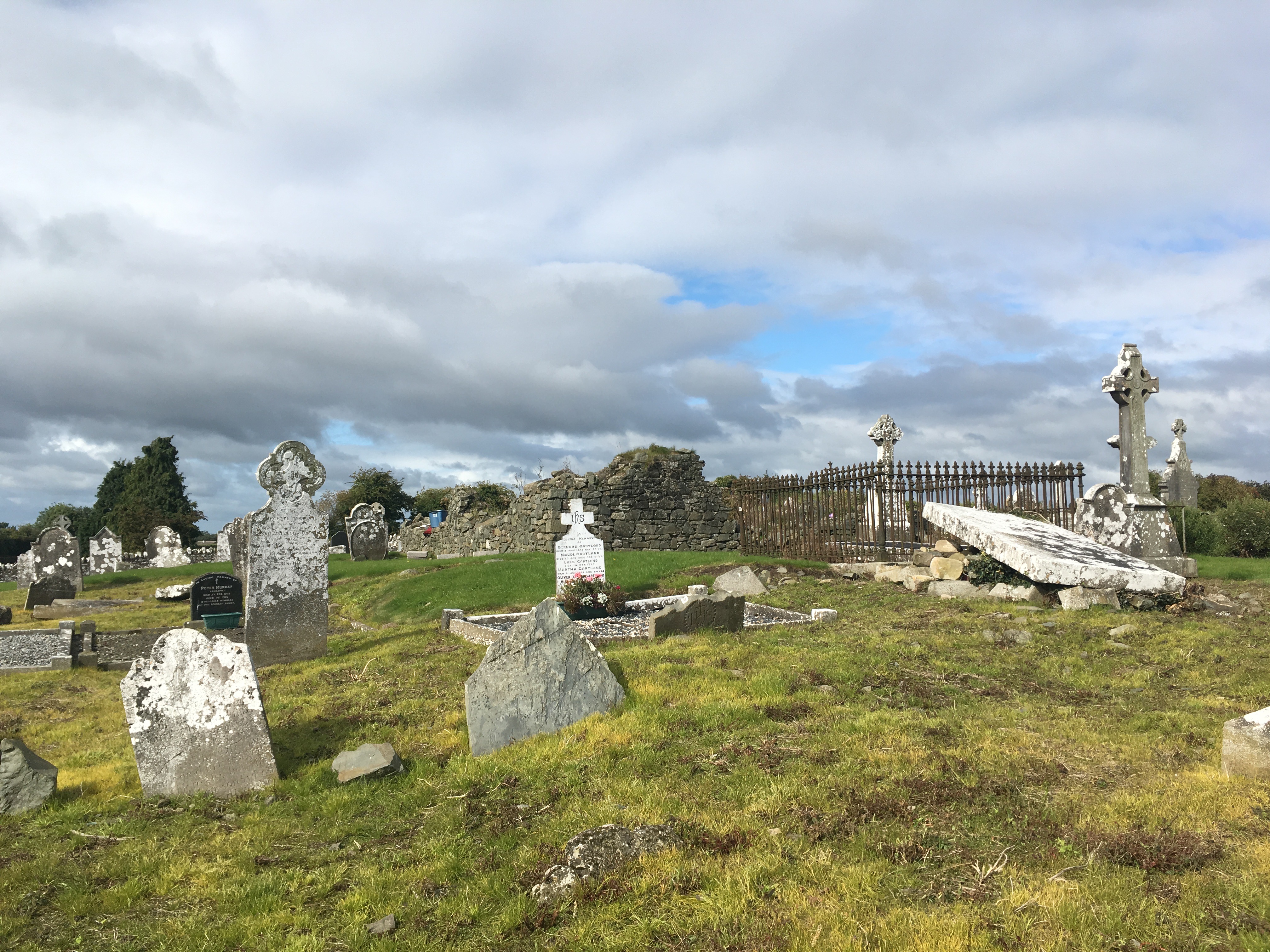
Surveyed in 2017 by the Kilberry Amenity & Heritage Group as a community-led heritage survey.