Ballysimon,
Limerick,
Ireland
Coordinates: 52.645237, -8.563859
Summary
Graveyard Code:
LI-BLSN
RMP/Site number:
LI013-026002
Townland:
Ballysimon (Dickson)
County:
Number of Memorials:
169

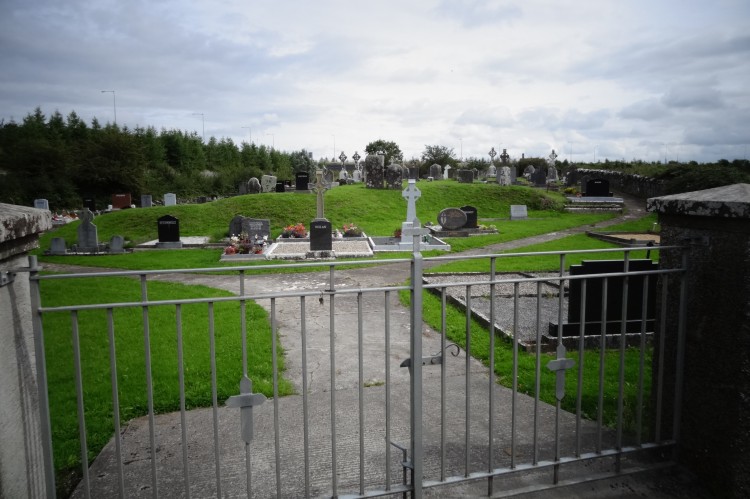
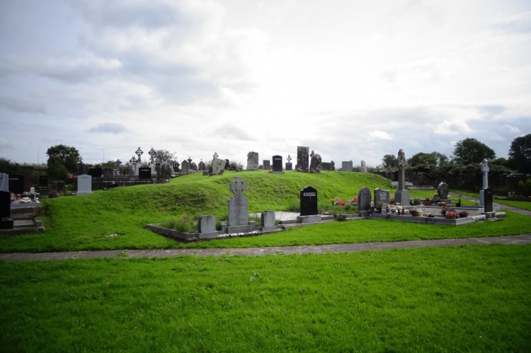
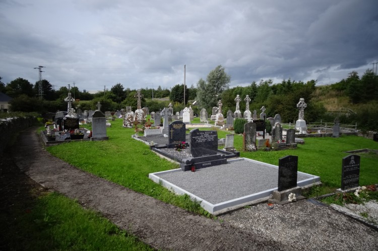
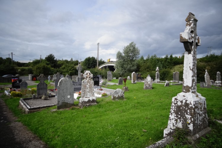
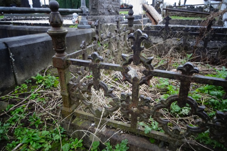
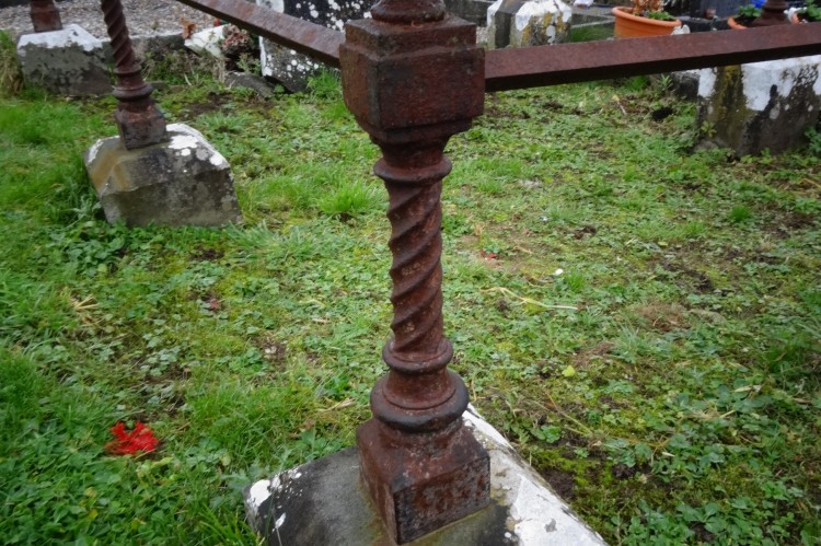
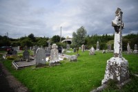
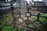
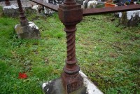




Situated immediately NE of a minor road in gently undulating pasture. The graveyard is still used. It is enclosed by a wall (H 1m) partly of dry stone construction and partly mortared. The focus of the graveyard is a sub-oval embankment (H 1.3m) which slopes sharply down to S, SW and E, and which slopes more gently down to W, N and NE. Most of the graves are orientated ENE by WSW but there is a cluster in the N part of the yard which are orientated E-W. The earliest monuments date from the 18th
century and are upright limestone slabs. According to Westropp (1904-05, 365) the remains of Derrygalvan Church stood in the graveyard up to around 1840. This church was referred to in 1291 as Derigavun, as Dalgarvun in 1302 and as Derighealvain in 1410 when it was dedicated to St. Nicholas (Dec. 6th); its rectory was granted to John, Abbot of Wethnia under the name of “The Church of the Blessed Virgin” in the 15th century; the church is depicted on the 17th century Down Survey Map and fragments were still evident in 1840.
Ref.: Denis Power (www.archaeology.ie)
Useful Links:
http://www.limerickdioceseheritage.org/Monaleen/textMonaleen.htm
http://www.census.nationalarchives.ie/pages/1901/Limerick/Ballysimon/
http://www.census.nationalarchives.ie/pages/1911/Limerick/Ballysimon/
http://titheapplotmentbooks.nationalarchives.ie/search/tab/results.jsp?county=Limerick&parish=Bruree&townland=Ballysimon%20(Dickson)&search=Search
http://freepages.genealogy.rootsweb.ancestry.com/~mccarthykathryn/ballysimon_graveyard.htm