Register of Burials available:
Location of Published Local References:
Titles of Published Local References:
Sweetman, P.D., Alcock, O. & Moran, B. (1995) Archaeological inventory of County Laois. Dublin. Dublin Stationary Office, 82
Carrigan, W. (1905) The history and antiquities of the diocese of Ossory. Dublin. Sealy, Bryers & Walker, vol 2 64
Record of Monuments & Places, Co. Laois compiled by Caimin O'Brien (2007)
Dowling, A. (1981) Ancient Parish of Aghaboe now Clough-Ballacolla, Dowling, Laois, 22-3
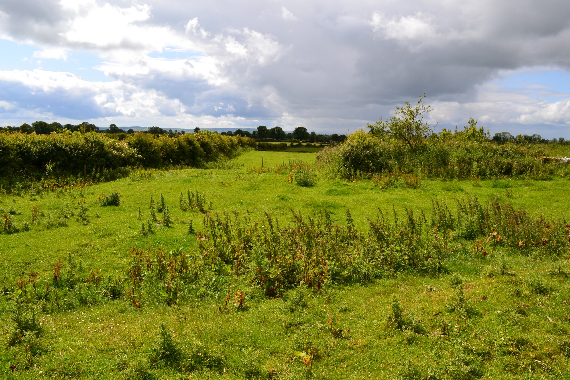


The graveyard is in rural area, surrounded by undulating pasture land.
Graveyard overgrown and contains no visible upstanding structures. Site of medieval church marked on 1841 OS map as 'Kildellig Church (in ruins)' and on 1908 OS map as 'Kildellig Church (site of)'. Possible that foundation walls may be traceable under overgrowth. Situated c. 150m northeast is a probable 13th century motte.
Graveyard overgrown; few visible upright headstones date from 18th to 20th century. Last burial in local memory was in mid 20th century adjacent to stile.
Graveyard has sub-rectangular shape; boundary stone wall where visible measures c. 1m high. No paths; access via gate (blocked by vegetation) and stile through fields. Ground surface very uneven due to concealed features. Ground level within graveyard is higher than that without. Ground neglected.