Register of Burials available:
Location of Published Local References:
Location of Inscriptions:
Titles of Published Local References:
Sweetman, P.D., Alcock, O. & Moran, B. (1995) Archaeological inventory of County Laois. Dublin. Dublin Stationary Office, 73
Carrigan, W. (1905) The history and antiquities of the diocese of Ossory. Dublin. Sealy, Bryers & Walker, vol 2 341-2
Record of Monuments & Places, Co. Laois compiled by Caimin O'Brien (2007)
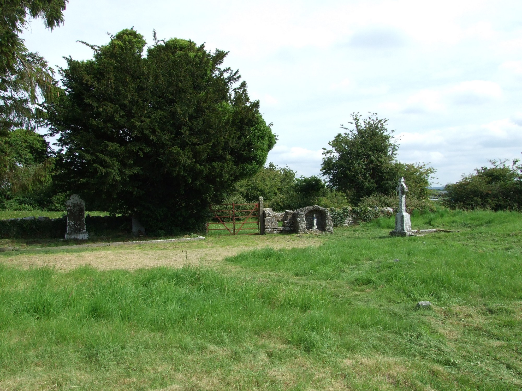


The graveyard is in rural area, on high ground, situated within a ringfort enclosure, surrounded by pasture land, access through fields.
Graveyard contains the site of a medieval church, with local tradition regarding early nunnery associated with St Bridget. Marked on 1841 OS map as 'Church (in ruins)' however no visible surface remains of church ruins. Some piles of masonry debris located to south of graveyard; architectural fragment of window head noted. Within graveyard is a bullaun stone with a nearby holy tree/bush 'St Bridget's Bush' and a modern grotto.
Graveyard contains some headstones dating from 19th to 20th century; most visible are upright, consist of rounded and celtic cross memorials.
Graveyard has D- shape; boundary stone wall c. 1m high intact. Ground within graveyard slightly higher than without. Ground surface with many undulations. No paths or access laneway. Access across farm fields to a gate and stile. Grass is uncut.