Laois,
Ireland
Coordinates: 52.962000, -7.653000
Summary
Graveyard Code:
LA-KYAB
RMP/Site number:
LA015-023002
Townland:
Kyle (Clandonagh By.)
County:
Description
Project:

Coordinates: 52.962000, -7.653000

![]()
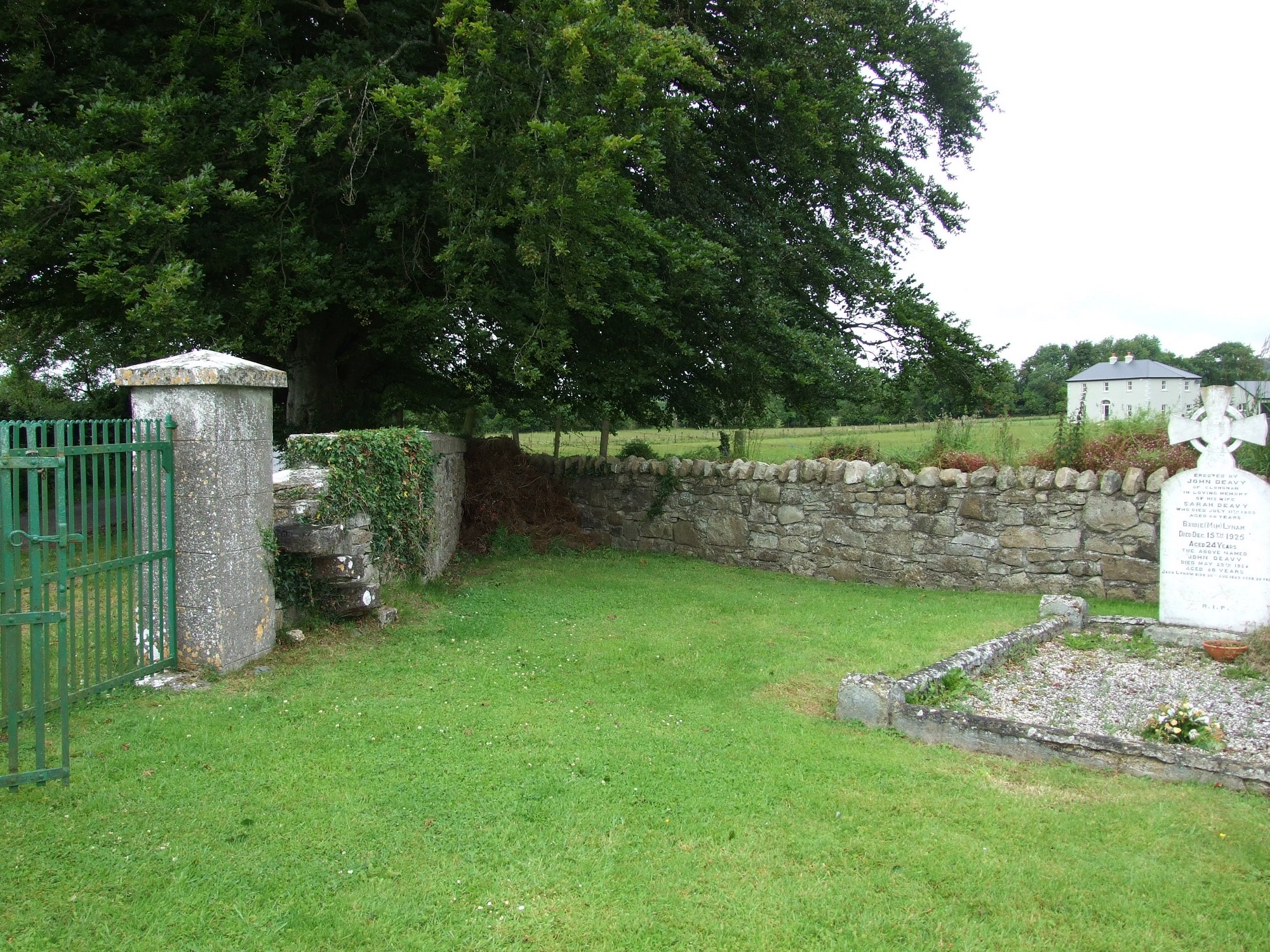
The graveyard is in rural area, surrounded by undulating pasture fields.
Graveyard contains ruins of medieval church marked on 1841 OS map as 'Abbey (in ruins)'; shown adjacent on 1841 OS map are 'St Molua's Grave', 'St Molua's Stone' and 'St Molua's Trough'. Monastery founded on site by St Molua in 6th century. Ruins of medieval church, simply consist of lower courses and wall footings, measuring c. 13m by 7m. Graveyard contains architectural fragments, early Christian cross slabs, a bullaun stone and possible sarcophagus pieces.
Graveyard contains 18th to 20th century headstones , celtic style crosses, metal crosses, recumbent slabs and table tombs; mostly upright and in good condition, some leaning, collapsed or worn. A substantial number of small uninscribed markers within graveyard.
Graveyard has rectangular shape; boundary stone wall intact, c. 1m high. No paths; access through gate and stile from roadside. Ground level higher within than without; ground surface uneven due to concealed features. Graveyard maintained; grass mown regularly.