Register of Burials available:
Location of Published Local References:
Location of Inscriptions:
Local Studies Section, Laois County Library
Titles of Published Local References:
Sweetman, P.D., Alcock, O. & Moran, B. (1995) Archaeological inventory of County Laois. Dublin. Dublin Stationary Office, 73
Carrigan, W. (1905) The history and antiquities of the diocese of Ossory. Dublin. Sealy, Bryers & Walker, vol 2 229
Record of Monuments & Places, Co. Laois compiled by Caimin O'Brien (2007)
Journal of the Association for the Preservation of the Memorials of the Dead, Ireland, 'Queen's County', (1912) 621
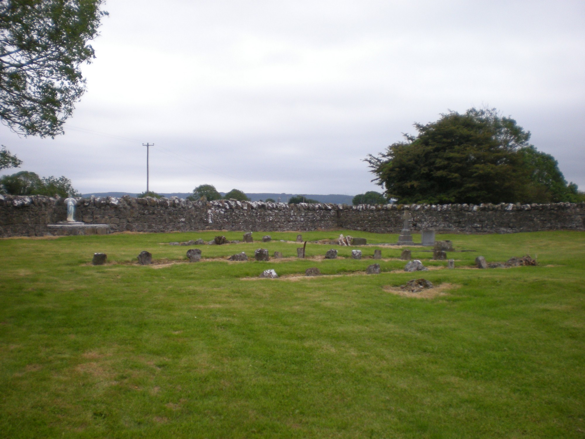


The graveyard is in rural area, surrounded by pasture land, access through fields past farmhouse, near River Goul.
Graveyard contains a ruins of a medieval church, associated with St Aedhog; marked on 1841 OS map as 'Keeloge Burial Ground'. Visible church ruins measure approximately 9m by 6m. Granite stone font is situated within the church ruins. Ecclesiastical enclosure recorded surrounding.
Graveyard contains some headstones visibly dating from 19th century; however majority of the headstones are uninscribed small flat broken stones. Landowner notes that burials continue outside boundaries.
Graveyard has D- shape; boundary stone wall c. 1m high intact. Ground within graveyard slightly higher than without. Ground level with small undulations. No paths or access laneway. Access across farm fields to a gate and stile. Grass is maintained.