Register of Burials available:
Location of Published Local References:
Titles of Published Local References:
Sweetman, P.D., Alcock, O. & Moran, B. (1995) Archaeological inventory of County Laois. Dublin. Dublin Stationary Office, 76
Carrigan, W. (1905) The history and antiquities of the diocese of Ossory. Dublin. Sealy, Bryers & Walker, vol 2 342
Record of Monuments & Places, Co. Laois compiled by Caimin O'Brien (2007)


The graveyard is in rural area, surrounded by undulating pasture land.
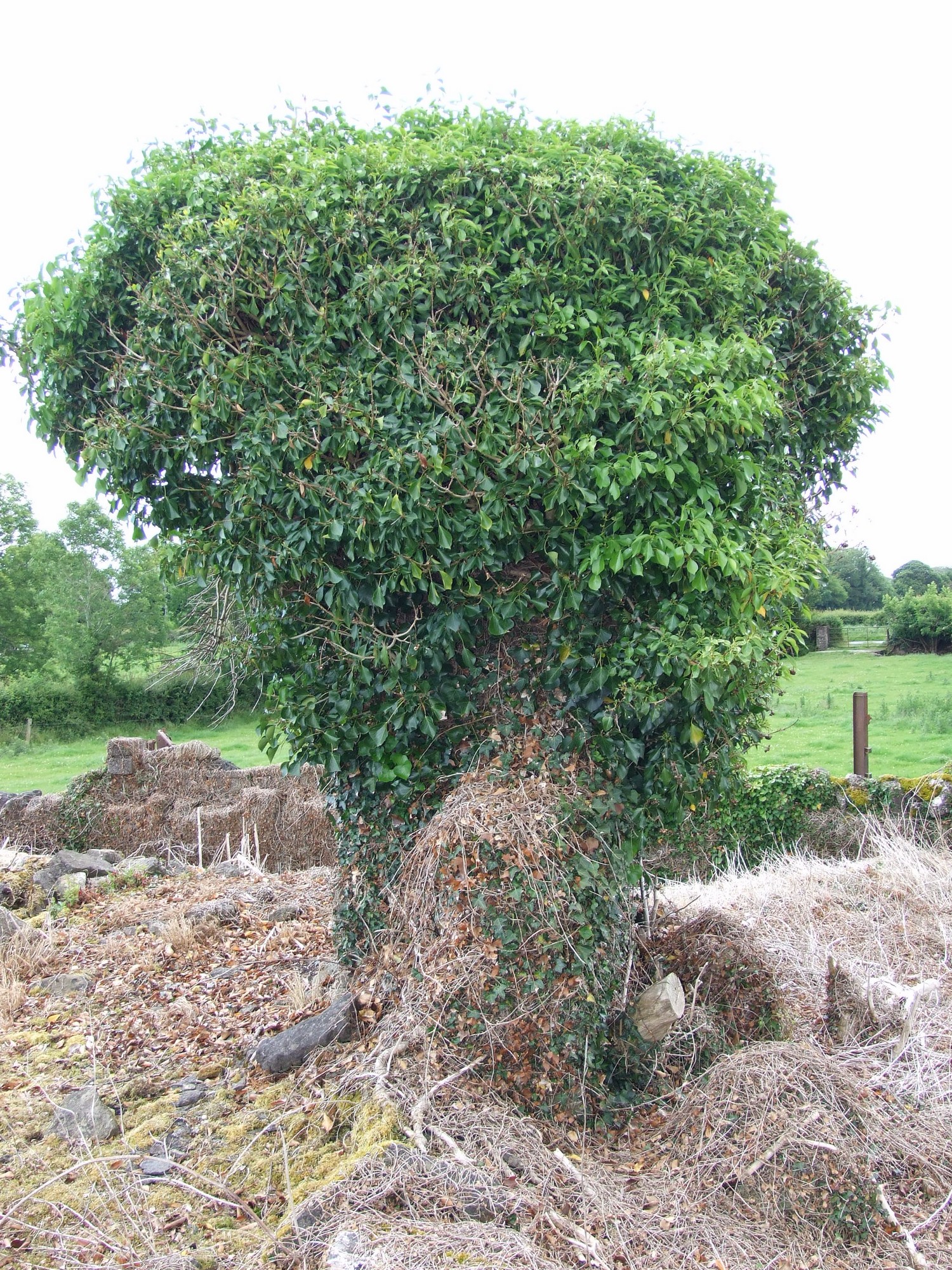
Graveyard contains ruins of medieval church, possible remains of unclassified ecclesiastical foundation; marked on 1841 OS map as 'Church (in ruins)'. The ruins consist of two small upstanding sections of wall, very overgrown with briars and ivy. Collapsed rubble in mounds around walls.
Graveyard contains 19th to 20th century headstones, in neglected condition with some leaning, collapsed or damaged. Some human bone noted on ground surface, including skull fragments.
Graveyard has rectangular shape; boundary stone wall, intact, c. 1m high; access via gate and stile from across fields. No paths; ground higher within graveyard than without. Graveyard neglected and derelict.