Register of Burials available:
Location of Published Local References:
Titles of Published Local References:
Sweetman, P.D., Alcock, O. & Moran, B. (1995) Archaeological inventory of County Laois. Dublin. Dublin Stationary Office, 72
Carrigan, W. (1905) The history and antiquities of the diocese of Ossory. Dublin. Sealy, Bryers & Walker, vol 2 353
Record of Monuments & Places, Co. Laois compiled by Caimin O'Brien (2007)
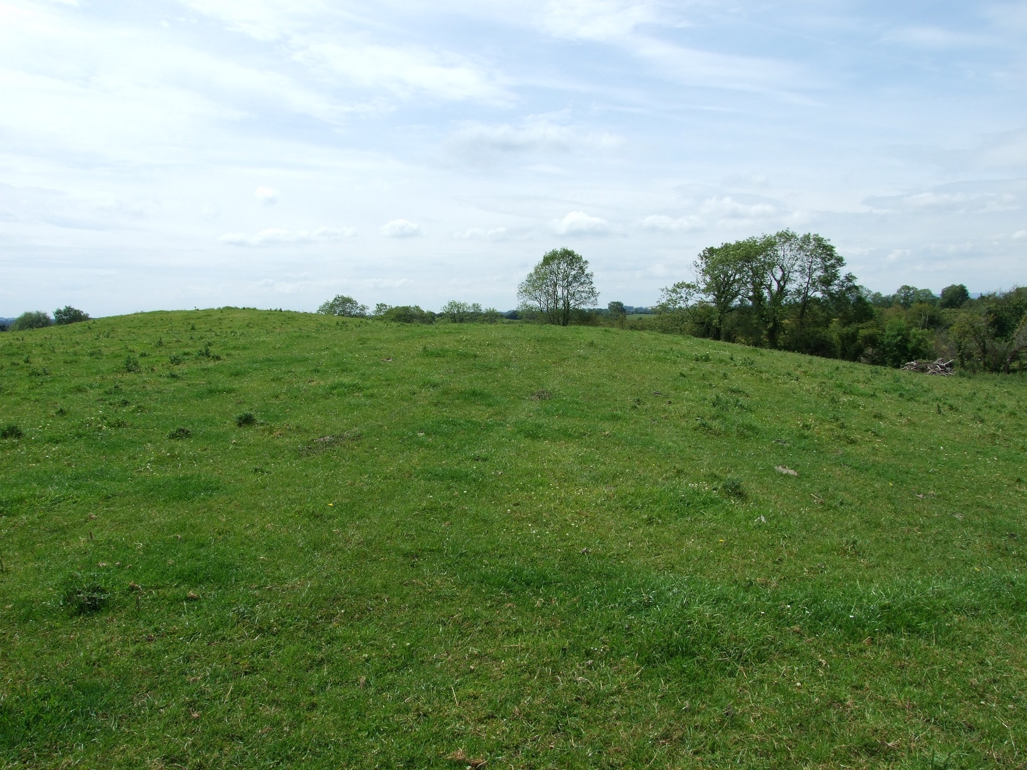


The site of graveyard and early church in ploughed land, adjacent to farmhouse. No visible surface trace of graveyard.
Graveyard marked on 1841 map as 'Burial Ground'. It appears to have been used until beginning of 19th century; in the early 19th century the graveyard was uprooted and tilled. At present there are no visible headstones, no enclosing boundary and no upstanding structural remains. Access to the site of the former graveyard is across agricultural farmland with no paths. Field is known locally as 'Church hill' or 'Church field'. Local sources relate to bones sometimes surfacing during ploughing.