Register of Burials available:
Location of Published Local References:
Location of Inscriptions:
Titles of Published Local References:
Sweetman, P.D., Alcock, O. & Moran, B. (1995) Archaeological inventory of County Laois. Dublin. Dublin Stationary Office, 87
O'Hanlon, J. Rev. & O'Leary, E. Rev. (1907) History of the Queen's County. Sealy, Bryers and Walker, vol 1, 250
Record of Monuments & Places, Co. Laois compiled by Caimin O'Brien (2007)
Journal of the Association for the Preservation of the Memorials of the Dead, Ireland, 'Queen's County', (1895) 131-2
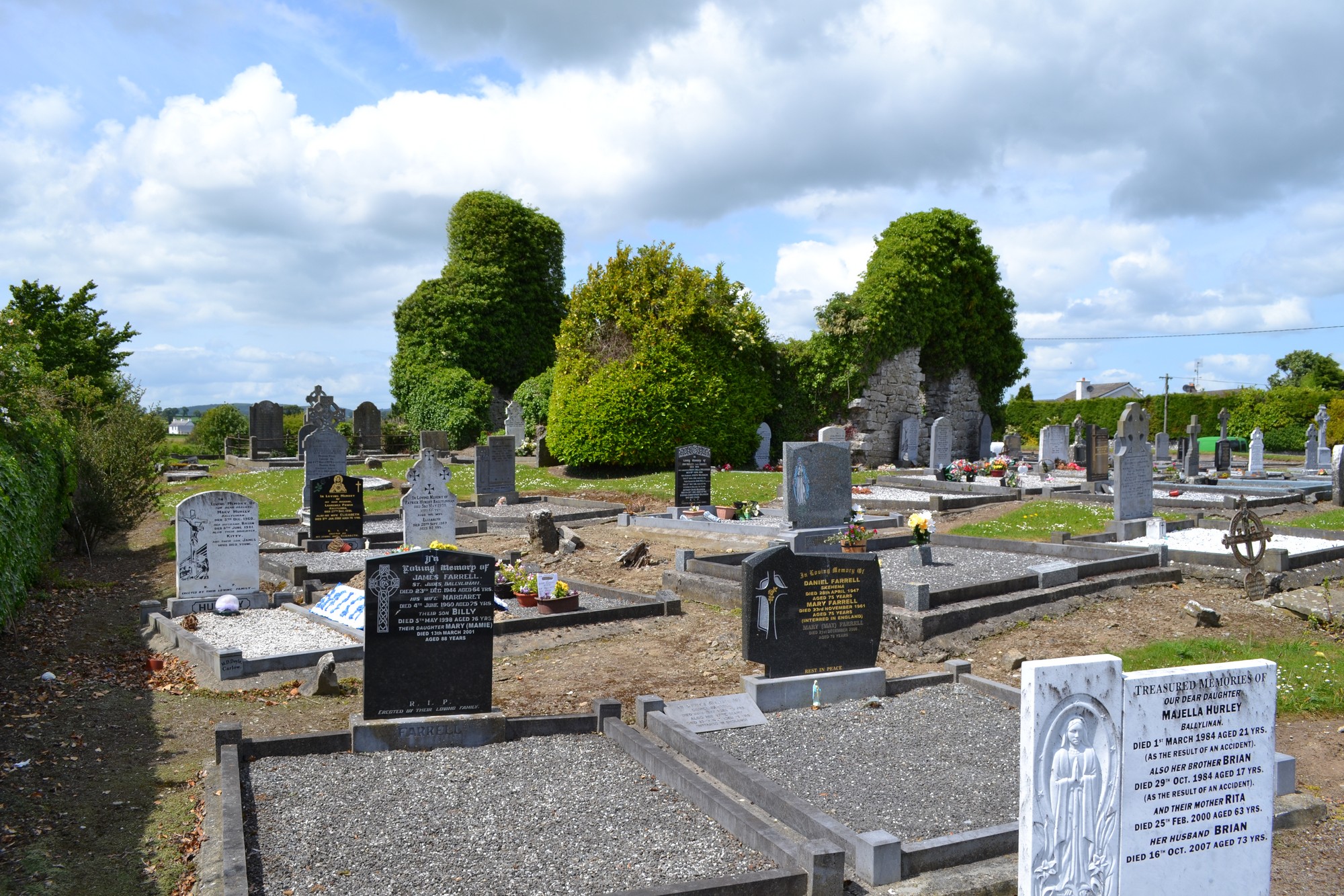


The graveyard is on northwest edge of village of Ballylinan (Ballylynan).
Graveyard contains ruins of medieval church marked on 1841 OS map as 'Church (in ruins)'. Ruins consist of upstanding rectangular structure measuring c. 16m by 7m; window and double bell-cote to west gable.
Graveyard contains 18th to 21st century headstones , celtic style crosses and metal crosses; mostly in good condition, few leaning, collapsed or overgrown. Graveyard contains a number of small uninscribed markers.
Graveyard has rectangular shape; a modern annex adjoins to the northwest. The boundary of the original graveyard is defined by a stone wall c. 1m high; the modern annex is defined by a concrete block wall and hedgerow. The paths throughout are concrete or gravel surfaced. Access to original graveyard is from roadside via gate and stile; access to annex is via roadside gate or through original graveyard. Ground level is higher within the original graveyard. Ground surface generally even. Grass regularly mown, ground maintained.