Skibbereen,
Cork,
Ireland
Coordinates: 51.551774, -9.288171
Description
Project:

Coordinates: 51.551774, -9.288171


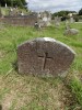
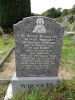
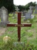
| Photo | Grave | Name | Surname |
|---|---|---|---|
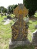 |
CO-ABSY-0252 |
|
|
 |
CO-ABSY-0253 | ||
 |
CO-ABSY-0254 |
|
|
 |
CO-ABSY-0255 | ||
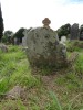 |
CO-ABSY-0256 |
|
|
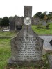 |
CO-ABSY-0257 |
|
|
 |
CO-ABSY-0258 |
|
|
 |
CO-ABSY-0259 |
|
|
 |
CO-ABSY-0260 |
|
|
 |
CO-ABSY-0261 |
|
|
 |
CO-ABSY-0262 |
|
|
 |
CO-ABSY-0263 |
|
|
 |
CO-ABSY-0264 |
|
|
 |
CO-ABSY-0265 | ||
 |
CO-ABSY-0266 |
|
|
 |
CO-ABSY-0267 | ||
 |
CO-ABSY-0268 |
|
|
 |
CO-ABSY-0269 |
|
|
 |
CO-ABSY-0270 |
|
|
 |
CO-ABSY-0271 |
|
|
 |
CO-ABSY-0272 |
|
|
 |
CO-ABSY-0273 |
|
|
 |
CO-ABSY-0274 | ||
 |
CO-ABSY-0275 |
|
|
 |
CO-ABSY-0276 |
|
|

![]()
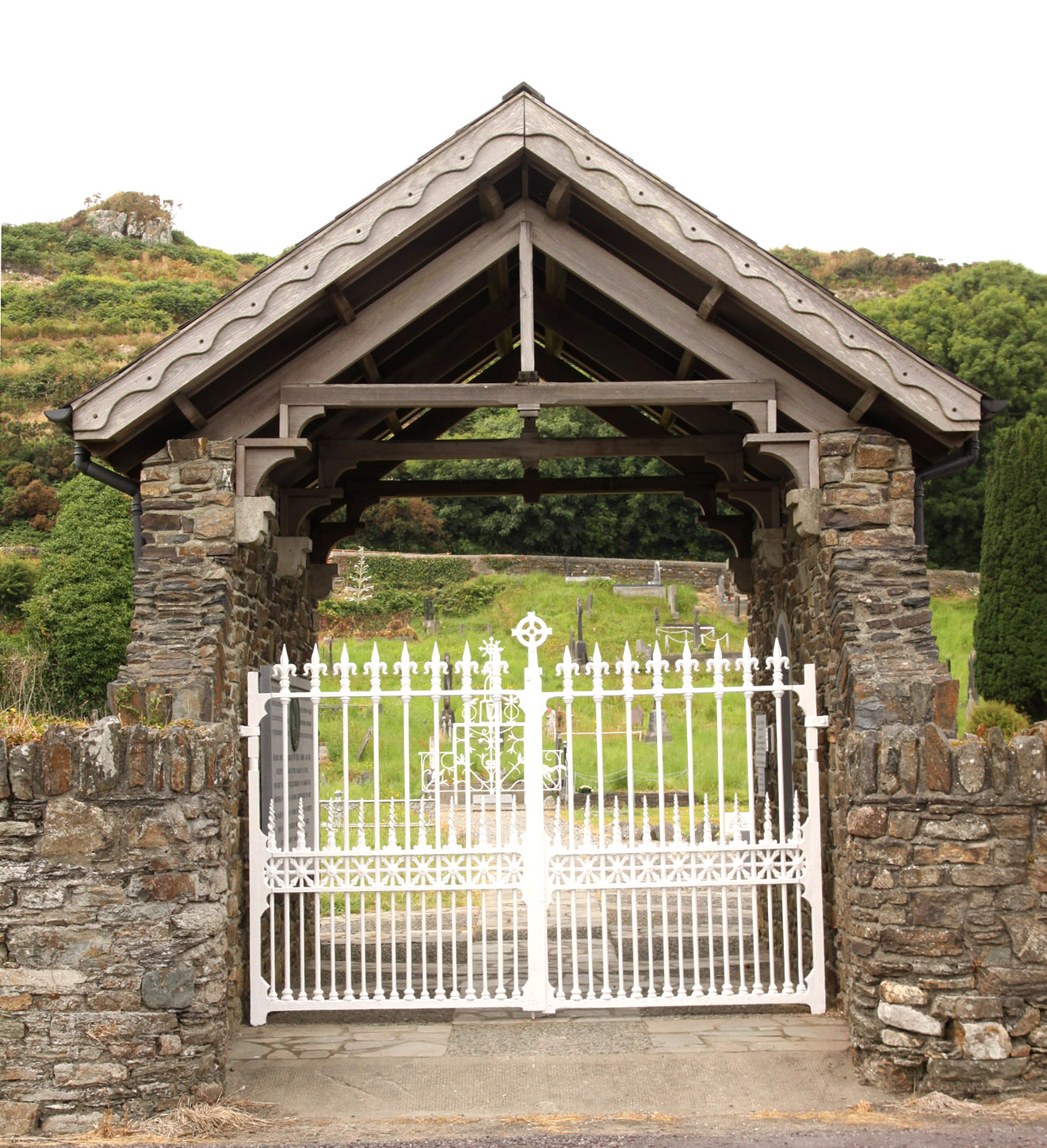
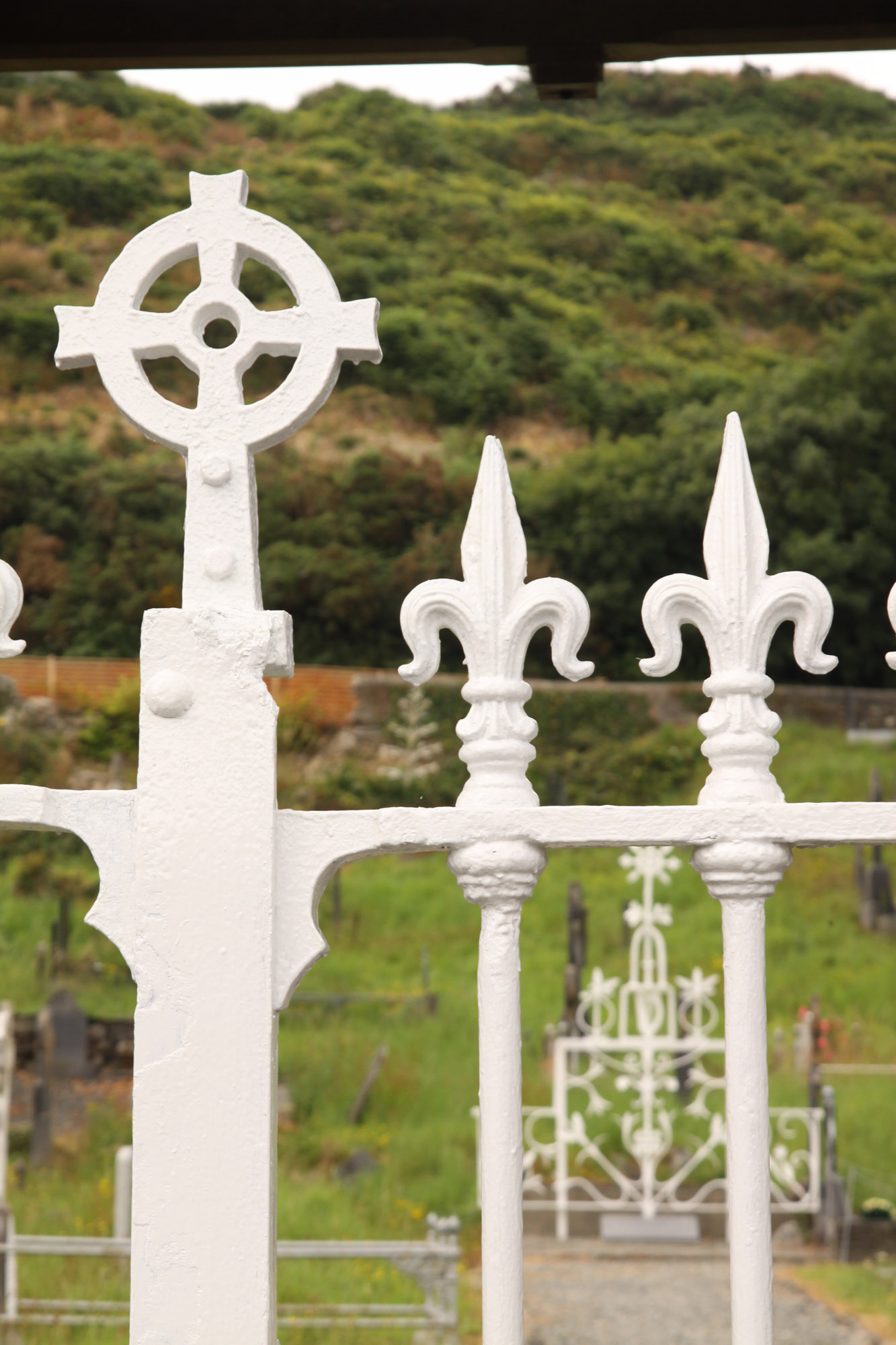
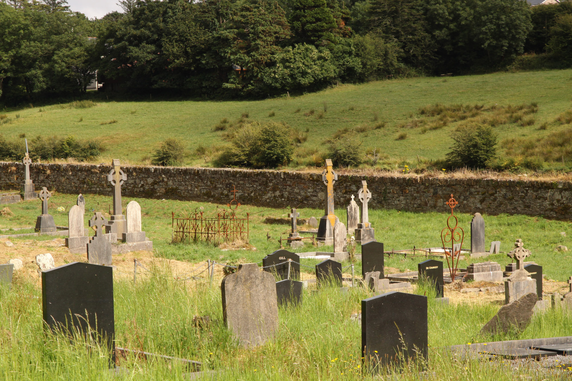
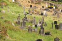
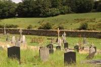
Roughly rectangular graveyard containing famine plot and famine memorials. Ruins of Abbeystrowry church (CO141-084002-) near W end. Possible site of cell associated with cistercian monastery of Abbeymahon (CO136-030003-).