
Explore, protect, promote
CO-MORY-0064
Record Date:
3 July 2013
Graveyard:
Memorial Type:
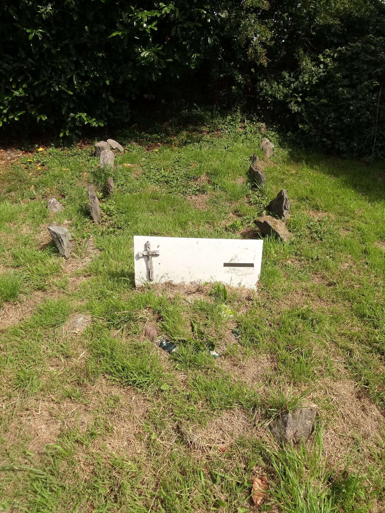
Unmarked stone
Notes:
Famine Burial Plot. According to local information also known as 'Famine Corner.' Wooden board with cross present at time of survey bearing no inscription, laid during 2011 Commemoration. Two rows of grave markers or kerbing present.


![]()