Laois,
Ireland
Coordinates: 52.825000, -7.438000
Summary
Graveyard Code:
LA-TBBB
RMP/Site number:
LA035-031002
Townland:
Toberboe or Killenny More
County:
Description
Project:

Coordinates: 52.825000, -7.438000

![]()
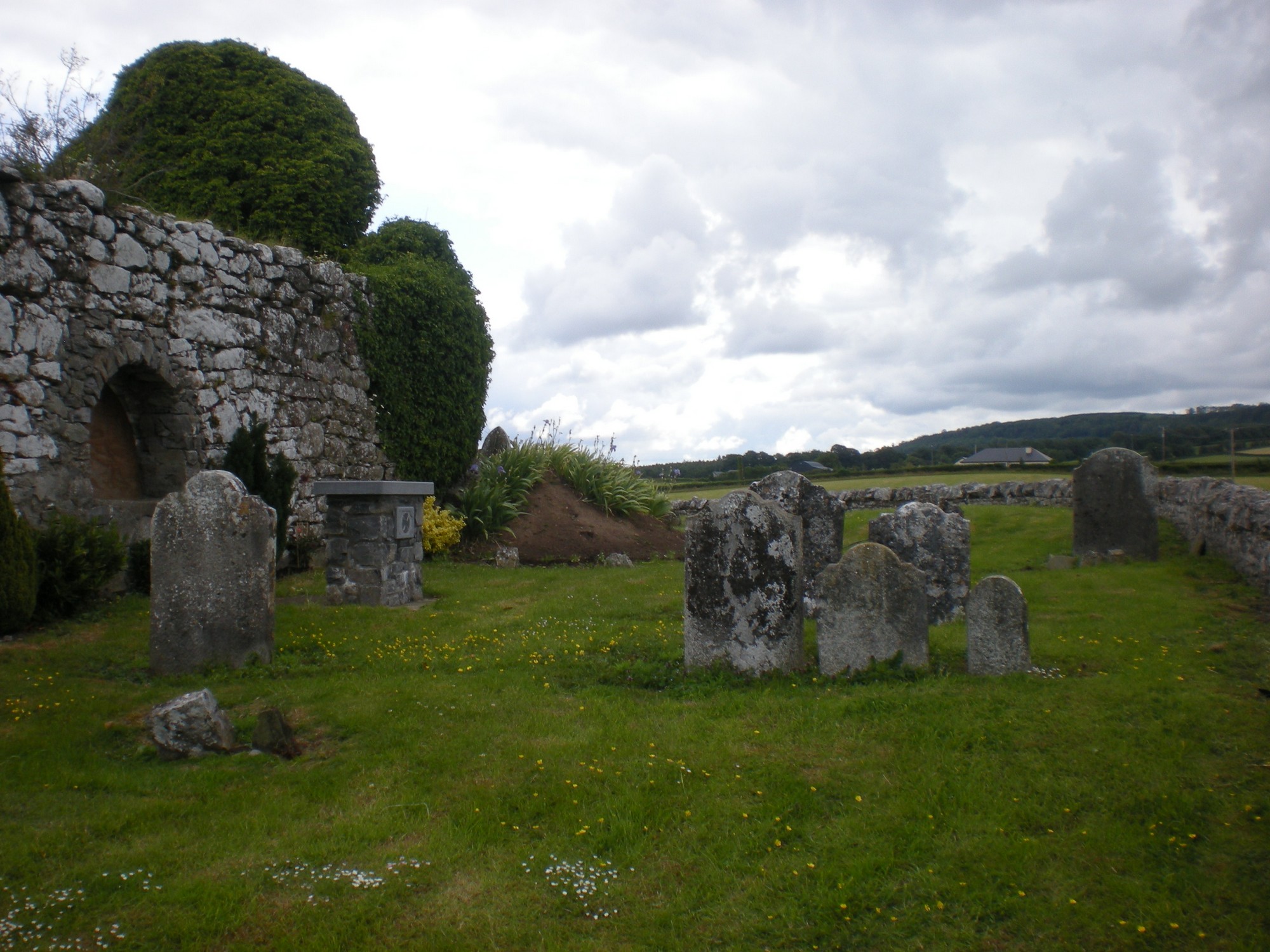
The graveyard is in rural area, surrounded by undulating farmland.
Graveyard contains ruins of church, marked on 1841 OS map as 'Church in ruins'. Most of church walls remain, including gables. Rectangular shape; nave measures approx. 15.5m by 8m, and chancel approx. 9.5m by 5m. Possible foundations of older church building located east of the church ruins. Also associated: gateway and ecclesiastical enclosure.
Graveyard contains 18th-20th century upright headstones; also burials inside church (Lodge Family).
Burial ground restored in 2000, and altar built to the south of church ruins. Graveyard has roughly circular shape measuring approx. 24m north-south by 37m east-west; boundary stone wall intact, measures c. 1m high. No paths; access through field from road and gate through boundary wall. Ground surface relatively level; well maintained; grass mown regularly.