The site is located in flat countryside surrounded by pasture and crop fields.
It is well maintained and evidence for recent repairs to boundary wall can be seen. The boundary wall is over 2m in height. The site is entered through a single heavy iron gate.
The burials are located on the southside of ruins of medieval church and consist of upstanding and recumbent burial markers, all of limestone. The dates of headstones are from the 18th and 19th centuries.


The site is located in flat countryside surrounded by pasture and crop fields.
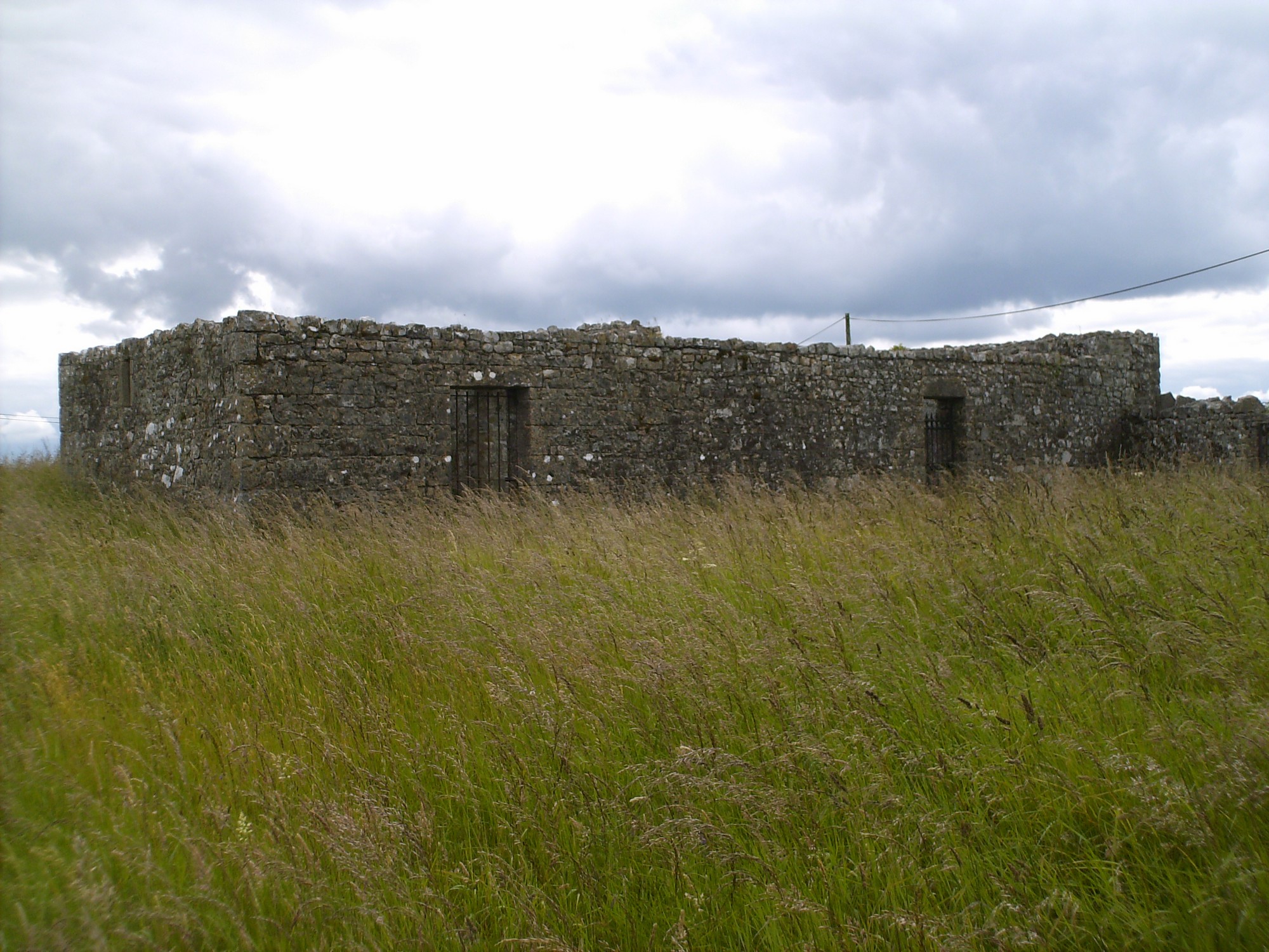
It is well maintained and evidence for recent repairs to boundary wall can be seen. The boundary wall is over 2m in height. The site is entered through a single heavy iron gate.
The burials are located on the southside of ruins of medieval church and consist of upstanding and recumbent burial markers, all of limestone. The dates of headstones are from the 18th and 19th centuries.