The graveyard is in rural area, adjacent to the town of Ballybrittas, and located south of the M7.
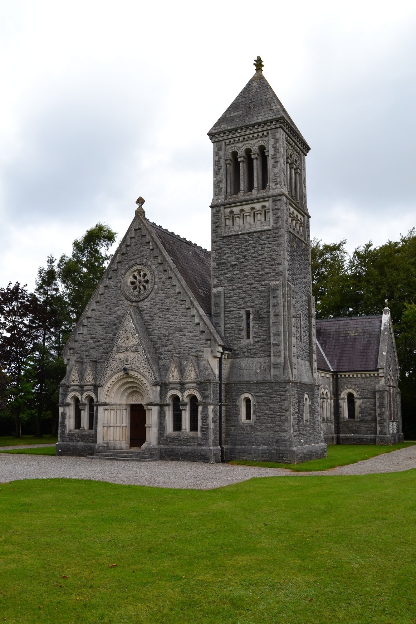
The graveyard is accessed through the grounds of the church; it contains approximately 10 marked graves and at least 7 visible grave mounds without markers. The site contains a Church of Ireland church, built 1883; the church is marked on 1913 OS map as 'Church'.
Graveyard contains headstones dating from 20th century; all upright and all in good condition apart from one which is broken.
The graveyard boundary is mainly hedgerow and part trees. Gravel paths to and around the church, access to graveyard from west side of church boundary; gravel path with burials to north and south of path. Located beside roadside. Grass regularly mown in area of burials, but semi-natural in the rest of the field to the east.


The graveyard is in rural area, adjacent to the town of Ballybrittas, and located south of the M7.
The graveyard is accessed through the grounds of the church; it contains approximately 10 marked graves and at least 7 visible grave mounds without markers. The site contains a Church of Ireland church, built 1883; the church is marked on 1913 OS map as 'Church'.
Graveyard contains headstones dating from 20th century; all upright and all in good condition apart from one which is broken.
The graveyard boundary is mainly hedgerow and part trees. Gravel paths to and around the church, access to graveyard from west side of church boundary; gravel path with burials to north and south of path. Located beside roadside. Grass regularly mown in area of burials, but semi-natural in the rest of the field to the east.