Register of Burials available:
Location of Published Local References:
Laois County Library, Portlaoise, Co. Laois
Location of Inscriptions:
Local Studies Section, Laois County Library
Titles of Published Local References:
Redmond, N.T. (1997) Grave Inscriptions, Killeshin, Sleaty, Graiguecullen, Mayo, Arles, Doonane, Castletown, Rathaspick, Shrule, Rathnure etc., with Historical Notes, Rosmore Killeshin Development Association (RKDA), 78-81
Journal of the Association for the Preservation of the Memorials of the Dead, Ireland, 'Queen's County', (1895) 134, (1897) 495-496
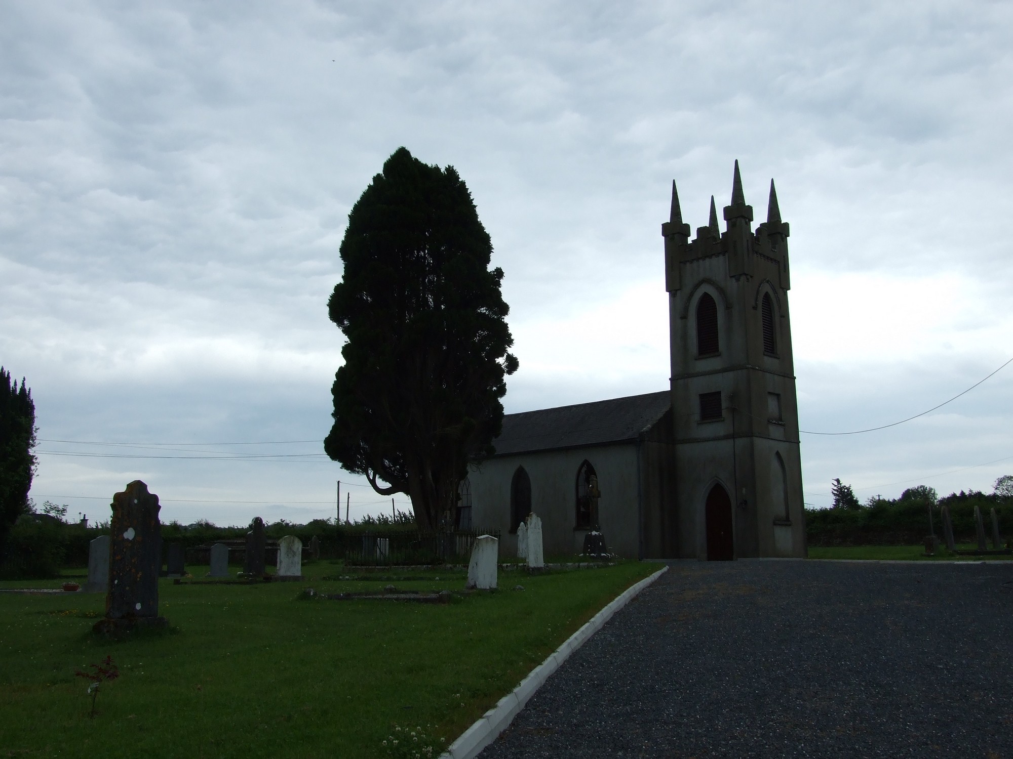


The graveyard is located at the western edge of the village of Mayo.
The associated Church of Ireland church is marked on the 1841 OS map and the 1908 OS map. The former map shows an associated vault, while the latter shows a graveyard. Headstones are generally 19th and 20th century in date.
The graveyard is accessed via a gate in the NW of the northern boundary wall. The gate opens onto a gravel path which leads to and around the church. The ground surface is fairly even but there is a general slope up to the south.