Register of Burials available:
Location of Published Local References:
Titles of Published Local References:
Sweetman, P.D., Alcock, O. & Moran, B. (1995) Archaeological inventory of County Laois. Dublin. Dublin Stationary Office, 98
Comerford, Rev. M. (1886) Collections relating to the Dioceses of Kildare and Leighlin. Dublin, Duffy, vol 3, 265
Record of Monuments & Places, Co. Laois compiled by Caimin O'Brien (2007)
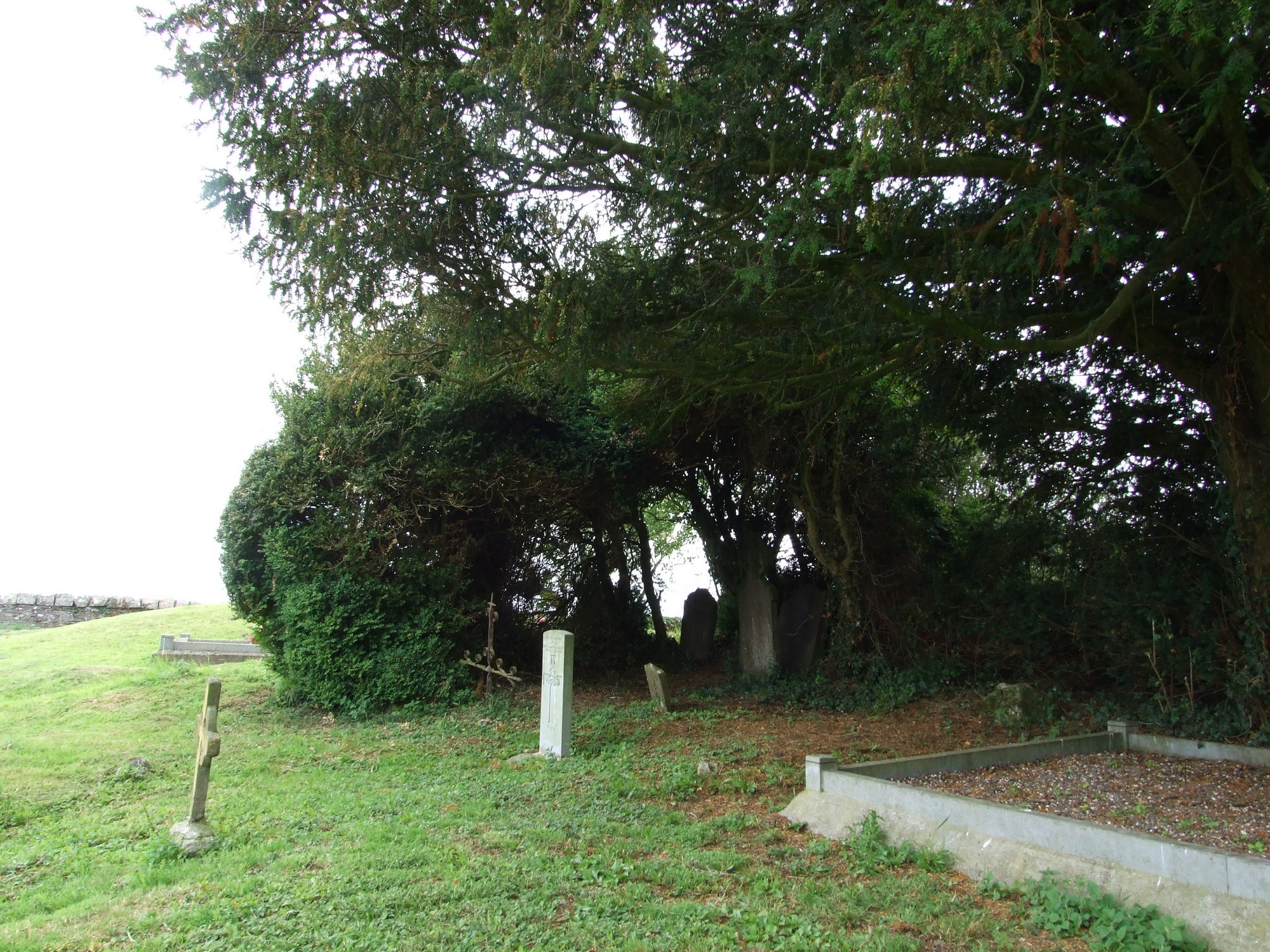


The graveyard is in rural area, surrounded by pasture and crop fields.
Graveyard contains no visible upstanding structures. Graveyard marked on 1841 OS maps as 'Burial ground'. Graveyard known locally as 'Killanure' in 19th century, however no tradition of church in area.
Graveyard overgrown, visibly contains 18th to 21st century headstones , celtic style crosses and metal crosses; mostly upright and in good condition, some leaning, collapsed, worn or disturbed by vegetation.
Graveyard has rectangular shape; boundary stone wall intact, c. 1m high. No paths; access through gate and stile across fields. Ground surface uneven due to concealed features. Lowest point is in centre of graveyard. Grass cover high, graveyard scarcely maintained.