National Inventory of Architectural Heritage code:
Register of Burials available:
Location of Published Local References:
Location of Inscriptions:
Titles of Published Local References:
Journal of the Association for the Preservation of the Memorials of the Dead, Ireland, 'Queen's County', (1891) 479-483, (1910) 156-157
National Inventory of Architectural Heritage (NIAH), Co. Laois (1997)
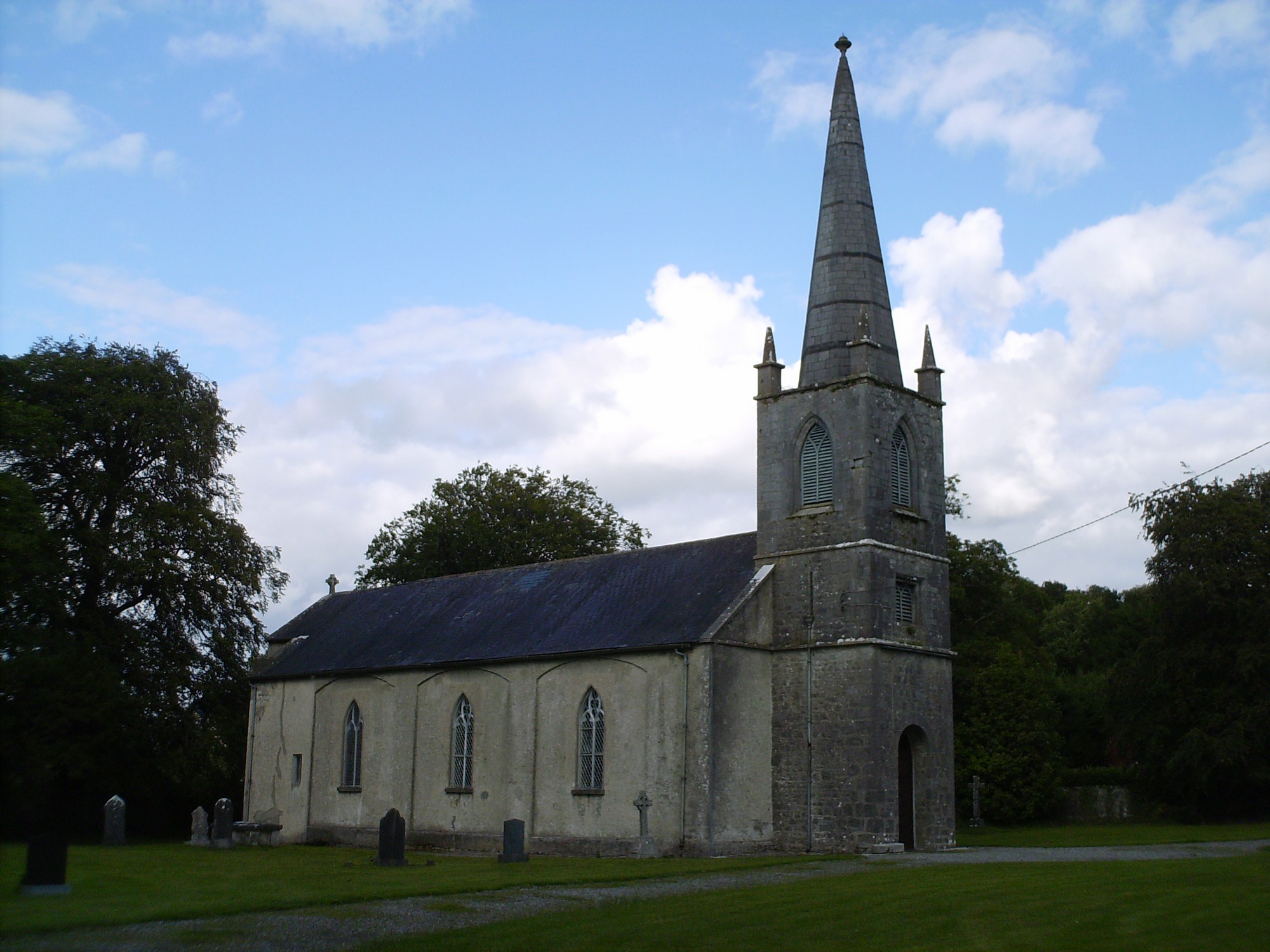


The graveyard is in rural area south of Portarlington.
Graveyard contains a Church of Ireland church (built c. 1810), marked on 1841 OS map as 'Church'.
Graveyard contains headstones dating from 19th to 21st century; generally in good condition; mostly upright. The northwest corner of the graveyard is very overgrown and contains some badly damaged gravemarkers dated to the 19th century; this area also contains a large portion of table tombs.
Graveyard is accessed through two gates in the south wall; gravel paths lead to and around church. Ground surface is mainly level except from the northwest corner.