The graveyard is in rural area, surrounded by crop and pasture land, farmyard adjacent.
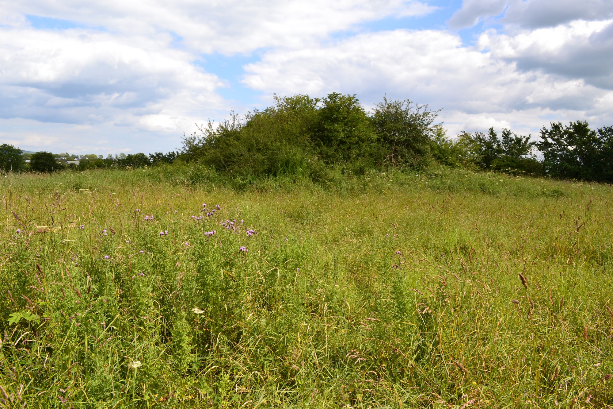
Graveyard contains ruins of church, marked on 1841 OS map as 'Kyletabreeheen Church (in ruins)'. Ruins very overgrown , consist of chancel and collapsed nave, measuring c. 16m by 7m. Possible that this structure dates to 19th century, possibly reusing or incorporating earlier medieval fabric.
Graveyard overgrown; contains one visible upright headstone. A 19th century family memorial (Phelan) is within church ruin.
Graveyard has rectangular shape; boundary defined by earthen bank c. 1m high and hedgerow. Access via laneway through fields. No paths. Ground surface overgrown and uneven. Ground neglected and derelict.


The graveyard is in rural area, surrounded by crop and pasture land, farmyard adjacent.
Graveyard contains ruins of church, marked on 1841 OS map as 'Kyletabreeheen Church (in ruins)'. Ruins very overgrown , consist of chancel and collapsed nave, measuring c. 16m by 7m. Possible that this structure dates to 19th century, possibly reusing or incorporating earlier medieval fabric.
Graveyard overgrown; contains one visible upright headstone. A 19th century family memorial (Phelan) is within church ruin.
Graveyard has rectangular shape; boundary defined by earthen bank c. 1m high and hedgerow. Access via laneway through fields. No paths. Ground surface overgrown and uneven. Ground neglected and derelict.