Register of Burials available:
Location of Published Local References:
Location of Inscriptions:
Titles of Published Local References:
Sweetman, P.D., Alcock, O. & Moran, B. (1995) Archaeological inventory of County Laois. Dublin. Dublin Stationary Office, 85
Carrigan, W. (1905) The history and antiquities of the diocese of Ossory. Dublin. Sealy, Bryers & Walker, vol 2 129-130
Record of Monuments & Places, Co. Laois compiled by Caimin O'Brien (2007)
Feehan, J. (1983) 'Laois: an environmental history'. Peter Walsh-Kemmis, Ballykilcavan Press, 430, 431


The graveyard is in rural area, on elevated ground, surrounded by pasture land.
Graveyard contains no visible upstanding structures. Site of medieval church, marked on 1841 OS maps as 'Church (in ruins)' and on 1908 OS map as 'Church (site of)'. Associated with St Kieran of Ossory. An early altar is recorded within the church ruins; no trace of altar visible. Site of a holy hawthorn bush, St Kieran's Bush, in NW corner of graveyard; area too overgrown to identify.
Graveyard very overgrown; contains about 10 visible headstones or markers, either upright or leaning, dating to 18th and 19th century.
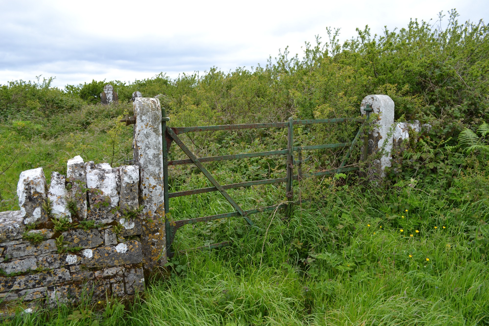
Graveyard has sub-circular shape; boundary is defined by overgrown stone wall, intact, c. 1m high. No paths; access across fields through gate and stile. Ground level within at higher level than without. Traces of earthen bank outside the boundary wall. Ground very overgrown and neglected.