Sweetman, P.D., Alcock, O. & Moran, B. (1995) Archaeological inventory of County Laois. Dublin. Dublin Stationary Office, 85
Dowling , A. (1981) Ancient Parish of Aghaboe, Now Clough-Ballacolla, Wellbrook Press Ltd, 16
Byrne , N. (2000) History of Aghaboe Parish, National Millennium Committee Project
Record of Monuments & Places, Co. Laois compiled by Caimin O'Brien (2007)
Dowling, A. (1981) Ancient Parish of Aghaboe now Clough-Ballacolla, Dowling, Laois, 16
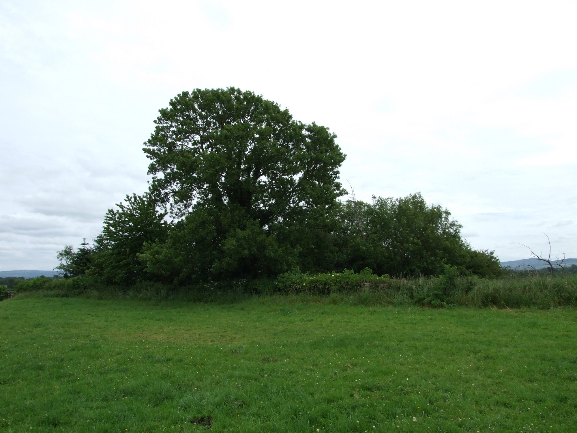


The graveyard is in rural area, surrounded by pasture land, southeast of Kilminfoyle House.
Graveyard contains no upstanding structures. Marked on 1841 OS map as 'Burial Ground' and on 1908 OS map as 'Burial Ground (disused). Possibly the site of Church of St Maoilpoil.
Graveyard very overgrown; contains no visible headstones or markers; last burial possibly early to mid 19th century. Landowner recollects seeing gravemarkers when young boy.
Graveyard has D-shape; boundary is defined by post-and-wire fence and hedgerow. No paths; access through farmyard and across fields. Ground level within at higher level than without. Ground overgrown and neglected.