Laois,
Ireland
Coordinates: 52.877000, -7.421000
Description
Project:

Coordinates: 52.877000, -7.421000
| Photo | Grave | Name | Surname |
|---|---|---|---|
 |
LA-KRMG-0026 | ||
 |
LA-KRMG-0027 |
|
|
 |
LA-KRMG-0028 |
|
|
 |
LA-KRMG-0029 |
|
|
 |
LA-KRMG-0030 |
|
|
 |
LA-KRMG-0031 |
|
|
 |
LA-KRMG-0032 |
|
|
 |
LA-KRMG-0033 |
|
|
 |
LA-KRMG-0034 |
|
|

![]()
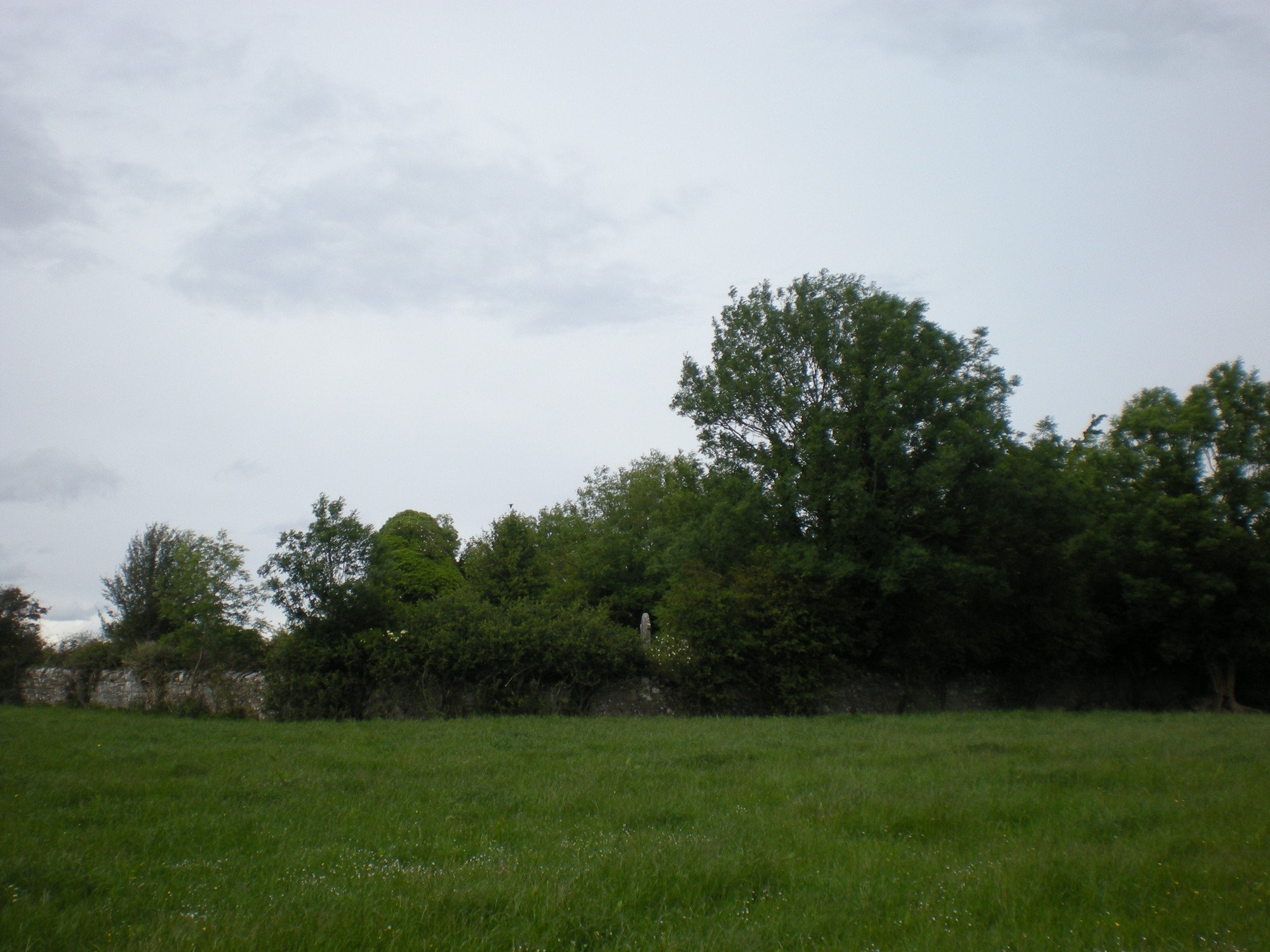
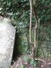
The graveyard is in rural area, surrounded by undulating pasture land, west bank of the River Gully.
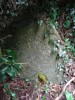
Graveyard contains ruins of medieval church, marked on 1841 OS map as 'Killermogh Church' and on 1908 OS map as 'Killermogh Church (in ruins)'. Associated with St Muicin. Ruins very overgrown; upstanding walls, rectangular in plan measure c. 14m by 6m.
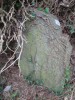
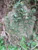
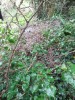
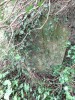
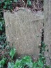
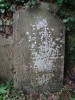
Graveyard very overgrown, visibly contains 19th and 20th century headstones, celtic style crosses and table tombs; many of visible markers are leaning, collapsed, badly worn or disturbed by vegetation.
Graveyard has rectangular shape; boundary stone wall intact, measures c. 1.5m high. No paths; access via gate and stile through field from laneway. Ground surface uneven due to concealed features. Ground level within graveyard is higher than that without. Ground neglected.