Killary, Lobinstown,
Meath,
Ireland
Coordinates: 53.789647, -6.666082

Coordinates: 53.789647, -6.666082
| Photo | Grave | Name | Surname |
|---|---|---|---|
 |
ME-KLRY-0151 | ||
 |
ME-KLRY-0152 |
|
|
 |
ME-KLRY-0153 |
|
|
 |
ME-KLRY-0154 | ||
 |
ME-KLRY-0155 |
|
|
 |
ME-KLRY-0156 |
|
|
 |
ME-KLRY-0157 |
|
|
 |
ME-KLRY-0158 |
|
|
 |
ME-KLRY-0159 |
|
|
 |
ME-KLRY-0160 |
|
|
 |
ME-KLRY-0161 |
|
|
 |
ME-KLRY-0162 | ||
 |
ME-KLRY-0163 |
|
|
 |
ME-KLRY-0164 | ||
 |
ME-KLRY-0165 | ||
 |
ME-KLRY-0166 |
|
|
 |
ME-KLRY-0167 |
|
|
 |
ME-KLRY-0168 |
|
|
 |
ME-KLRY-0169 |
|
|
 |
ME-KLRY-0170 |
|
|
 |
ME-KLRY-0171 |
|
|
 |
ME-KLRY-0172 | ||
 |
ME-KLRY-0173 | ||
 |
ME-KLRY-0174 |
|
|
 |
ME-KLRY-0175 |
|
|

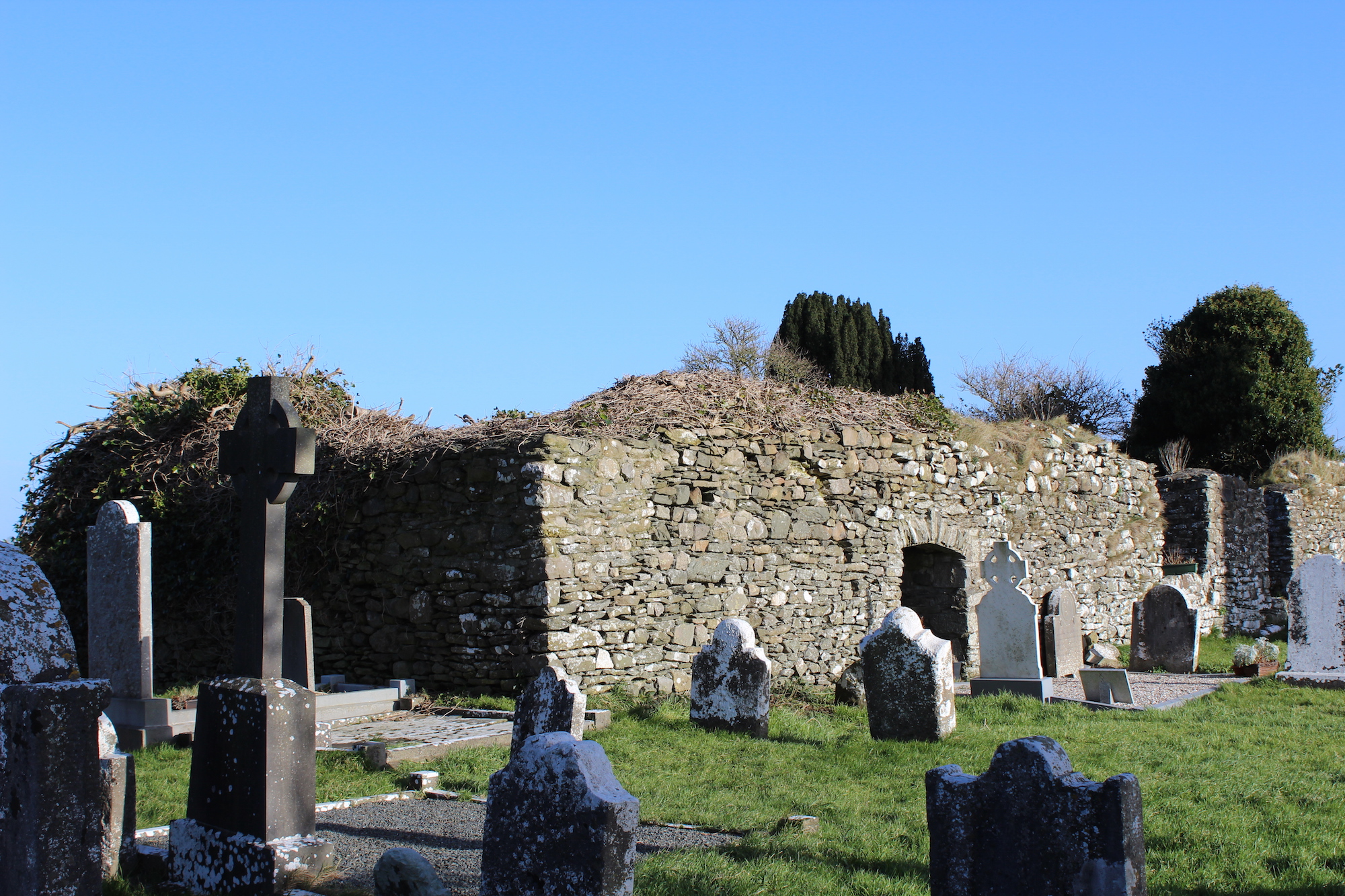
![]()
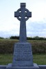
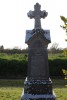
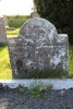
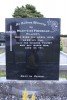
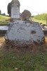
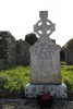
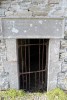
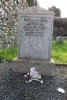
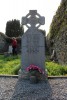
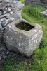
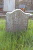
This is the site of an early church, and the parish church of Killary is located within a rectangular graveyard (dims c. 67m ENE-WSW; c. 45m NNW-SSE) defined by earthen banks.