Laois,
Ireland
Coordinates: 52.917000, -6.975000
Summary
Graveyard Code:
LA-KBBN
RMP/Site number:
LA026-013003;LA026-013005
Townland:
Killabban
County:
Description
Project:

Coordinates: 52.917000, -6.975000

![]()
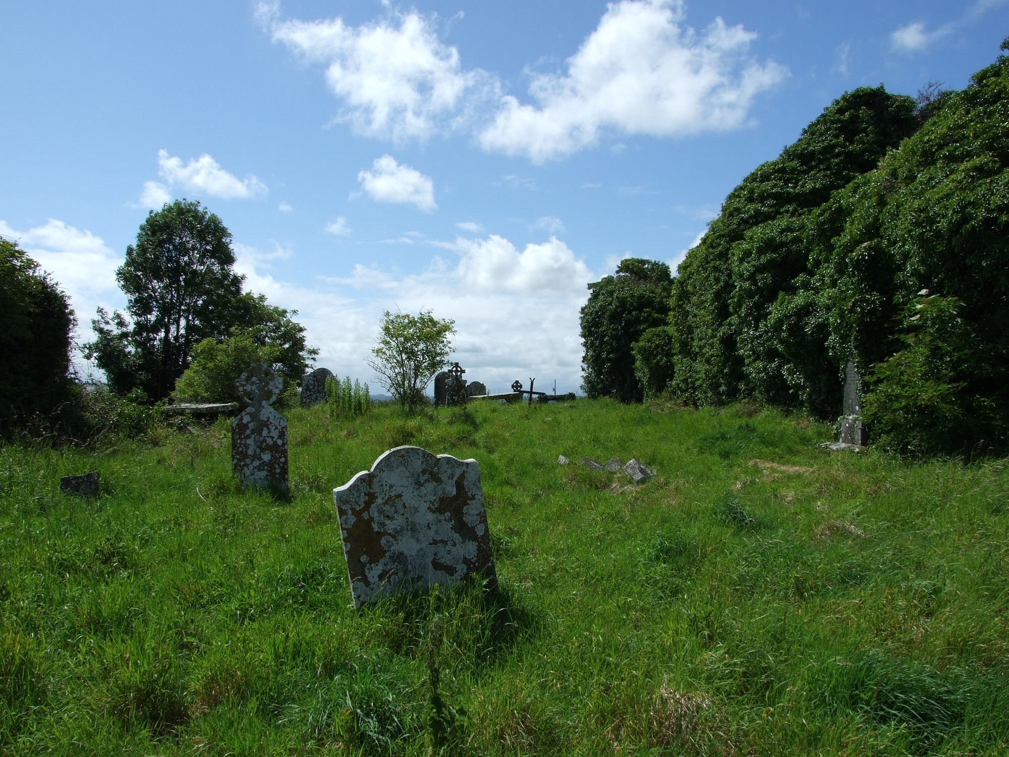
The graveyard is in rural area, surrounded by crop and pasture land.
Graveyard contains ruins of medieval church marked on 1841 OS map as 'Killabban Church (in ruins)'. Associated with St Abban, who founded a church in area in 650. Existing ruins date to 13th century with later additions; consist of nave and chancel measuring c. 25m by 10m. Ruins very overgrown. Architectural fragments including broken sarcophagus recorded within church.
Graveyard visibly contains 18th and 20th century headstones, celtic-style crosses, recumbent slabs and table tombs; many leaning, collapsed, damaged or disturbed by vegetation. A number of small uninscribed markers noted throughout graveyard.
Graveyard has sub-rectangular shape; boundary stone wall where upstanding measures c. 1m high. No paths; access via gate and stile from roadside. Ground surface uneven due to concealed features. Ground level within graveyard is higher than that without. Grass mown around some headstones; ground generally not maintained.