Castlerea,
Roscommon,
Ireland
Coordinates: 53.758423, -8.499126

Coordinates: 53.758423, -8.499126
| Photo | Grave | Name | Surname |
|---|---|---|---|
 |
RO-KKVN-0126 | ||
 |
RO-KKVN-0127 | ||
 |
RO-KKVN-0128 | ||
 |
RO-KKVN-0129 | ||
 |
RO-KKVN-0130 | ||
 |
RO-KKVN-0131 | ||
 |
RO-KKVN-0132 | ||
 |
RO-KKVN-0133 | ||
 |
RO-KKVN-0134 | ||
 |
RO-KKVN-0135 | ||
 |
RO-KKVN-0136 | ||
 |
RO-KKVN-0137 | ||
 |
RO-KKVN-0138 | ||
 |
RO-KKVN-0139 | ||
 |
RO-KKVN-0140 | ||
 |
RO-KKVN-0141 | ||
 |
RO-KKVN-0142 | ||
 |
RO-KKVN-0143 | ||
 |
RO-KKVN-0144 |
|
|
 |
RO-KKVN-0145 | ||
 |
RO-KKVN-0146 |
|
|
 |
RO-KKVN-0147 | ||
 |
RO-KKVN-0148 |
|
|

![]()
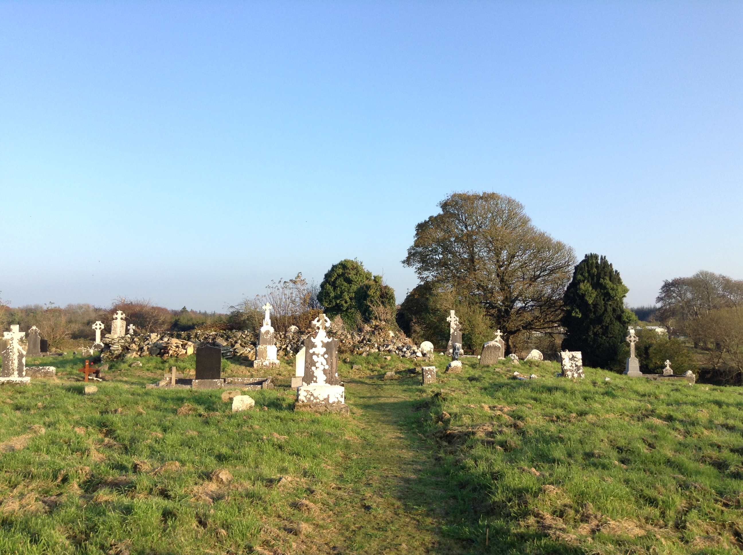
The graveyard is located on a shelf of the S-facing slope of a low E-W ridge c. 60 m to the W of the River Suck. The parish church of Kilkeevan (RO026-040001-) is within a circular graveyard (diam. 57m E-W; 54m N-S) defined by a drystone wall built inside a scarp (H 0.6m at S).
Recorded as part of a training project funded by Roscommon County Council Heritage Office and the Heritage Council.