Register of Burials available:
Location of Published Local References:
Location of Inscriptions:
Titles of Published Local References:
Sweetman, P.D., Alcock, O. & Moran, B. (1995) Archaeological inventory of County Laois. Dublin. Dublin Stationary Office, 83
Comerford, Rev. M. (1886) Collections relating to the Dioceses of Kildare and Leighlin. Dublin, Duffy, vol 3, 197
Record of Monuments & Places, Co. Laois compiled by Caimin O'Brien (2007)
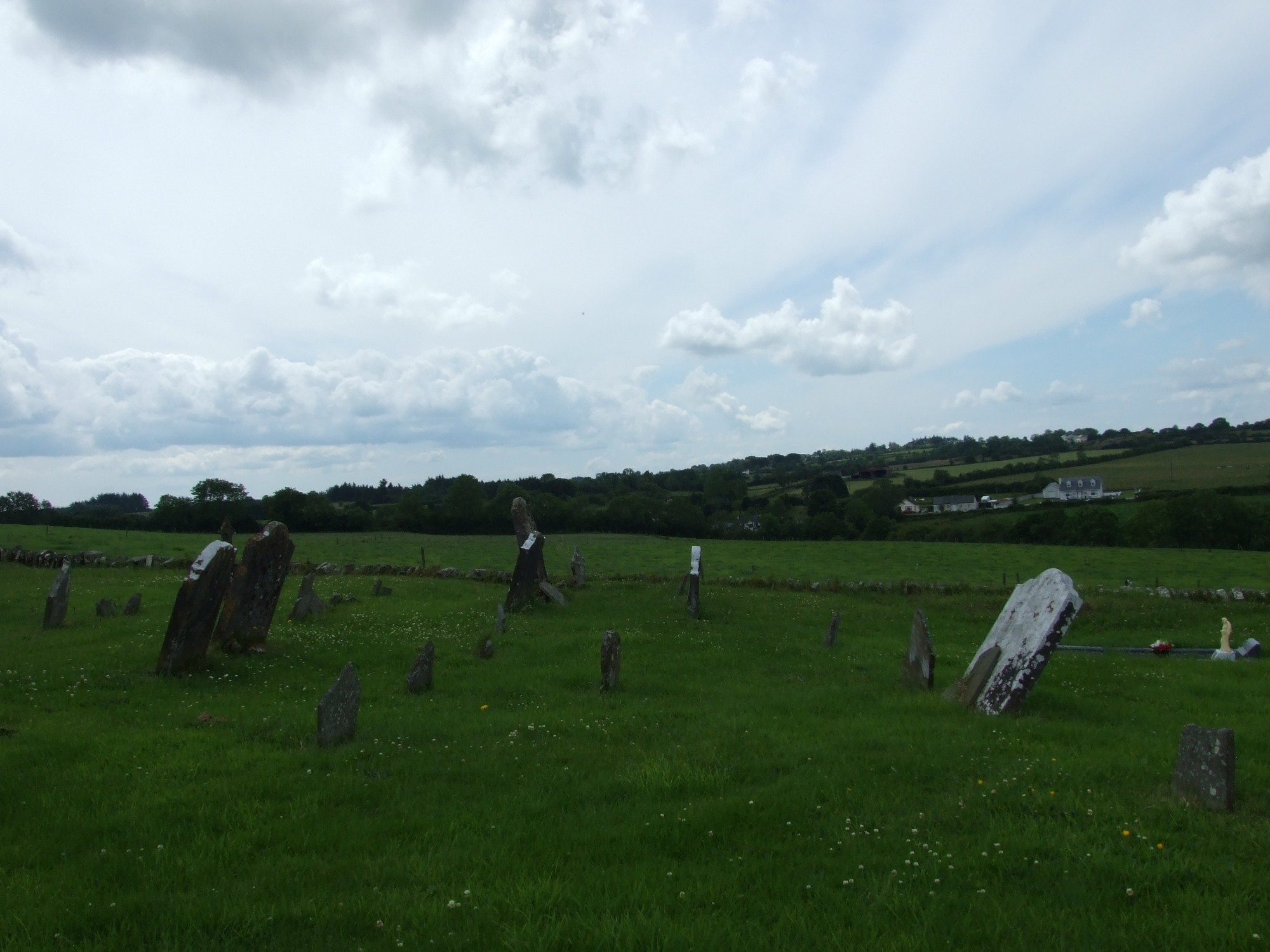


The graveyard is in rural area, surrounded by undulating pasture land.
Graveyard contains ruins of medieval church, marked on 1841 OS map as 'Church (in ruins)' and on 1908 OS map as 'Church (site of)'. Associated with St Lony. Ruins simply consist of portion of west gable; a low modern wall has been built along the foundations of the church ruins; a small 20th century outdoor shrine, measuring 12m by 7m, is situated within ruins. A holy well and holy bush are located outside graveyard to the west.
Graveyard contains 18th to 20th century headstones and celtic style crosses; most in good condition, few leaning or badly worn. Graveyard contains a large number of small uninscribed markers.
Graveyard has D- shape; boundary stone wall intact, measures c. 1.5m high. No paths; access via gate and stile through trackway from road. Ground surface generally level. Ground level within graveyard is higher than that without. Ground well maintained; grass mown regularly.