Kilgobnet,
Waterford,
Ireland
Coordinates: 52.120585, -7.644564
Summary
Graveyard Code:
WA-KGBT
RMP/Site number:
WA031-001001 & WA031-001002
Townland:
Kilgobnet
County:
Description
A visual representation of the frequency of surnames:


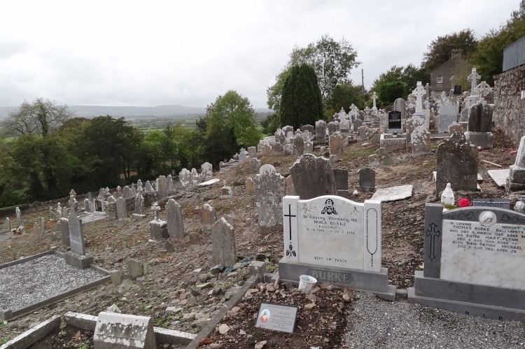
The parish church of Kilgobnet dedicated to St Gobnet of Ballyvourney, Co. Cork, within a subrectangular graveyard (dims. c. 70m N-S; c. 40-60m E-W). It is situated towards the bottom of a severe S-facing slope. It was described by John O'Donovan c. 1840 as a nave (dims. c. 13.2m x 9.5m) and chancel (dims. c. 5.1m x c. 4.8m), of which the S nave wall, a pointed chancel arch and the E gable with a small pointed window survived (O'Flanagan 1929, 40-41). The remains of a Romanesque doorway (ibid.) in the S wall of the nave, which was reputedly the inspiration for the W doorway of the RC church now just to the E, is no longer present. The nave is now reduced to a consolidated cairn of rubble (dims. 14.25m x 9.1m) and a fragment of the E gable survives. Cut-stone fragments, some with keel-moulding, and an octagonal font (dims. 0.58m x 0.58m; H 0.48m) with a circular basin (diam. 0.44m; D 0.21m) are at the site. Tobar Aphoona (originally called Tobergobnet), where a pattern was held on February 11th (Power 1937, 187), is in a quarry c. 110m to the NE and may be a flooded souterrain. (Power 1897b, 73-6). (www.archaeology.ie).
There are a fine collection, over 100 in number, of 18th century memorials within the graveyard. The majjority of these are located on a terrace to the west of the site of the medieval church.