Kilglass,
Roscommon,
Ireland
Coordinates: 53.824030, -8.017584

Coordinates: 53.824030, -8.017584
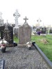
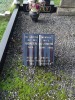
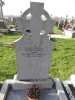
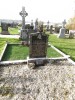
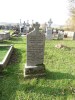
| Photo | Grave | Name | Surname |
|---|---|---|---|
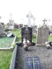 |
RO-KGSS-0176 |
|
|
 |
RO-KGSS-0177 |
|
|
 |
RO-KGSS-0178 |
|
|
 |
RO-KGSS-0179 |
|
|
 |
RO-KGSS-0180 |
|
|
 |
RO-KGSS-0181 |
|
|
 |
RO-KGSS-0182 |
|
|
 |
RO-KGSS-0183 |
|
|
 |
RO-KGSS-0184 |
|
|
 |
RO-KGSS-0185 |
|
|
 |
RO-KGSS-0186 | ||
 |
RO-KGSS-0187 |
|
|
 |
RO-KGSS-0188 | ||
 |
RO-KGSS-0189 | ||
 |
RO-KGSS-0190 | ||
 |
RO-KGSS-0191 |
|
|
 |
RO-KGSS-0192 |
|
|
 |
RO-KGSS-0193 | ||
 |
RO-KGSS-0194 |
|
|
 |
RO-KGSS-0195 |
|
|
 |
RO-KGSS-0196 |
|
|
 |
RO-KGSS-0197 | ||
 |
RO-KGSS-0198 | ||
 |
RO-KGSS-0199 | ||
 |
RO-KGSS-0200 |
|
|

![]()
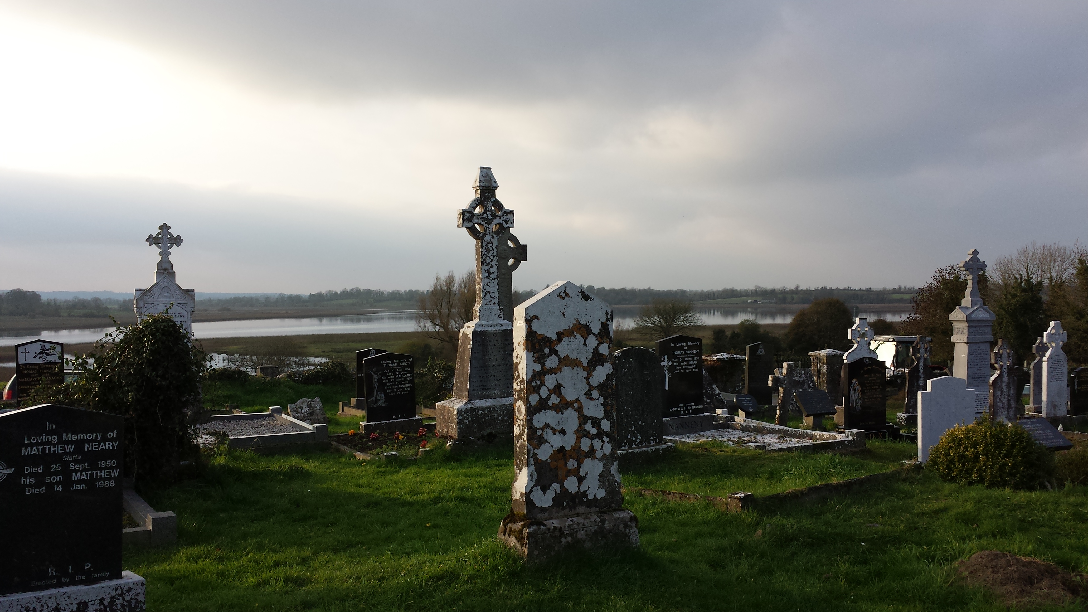
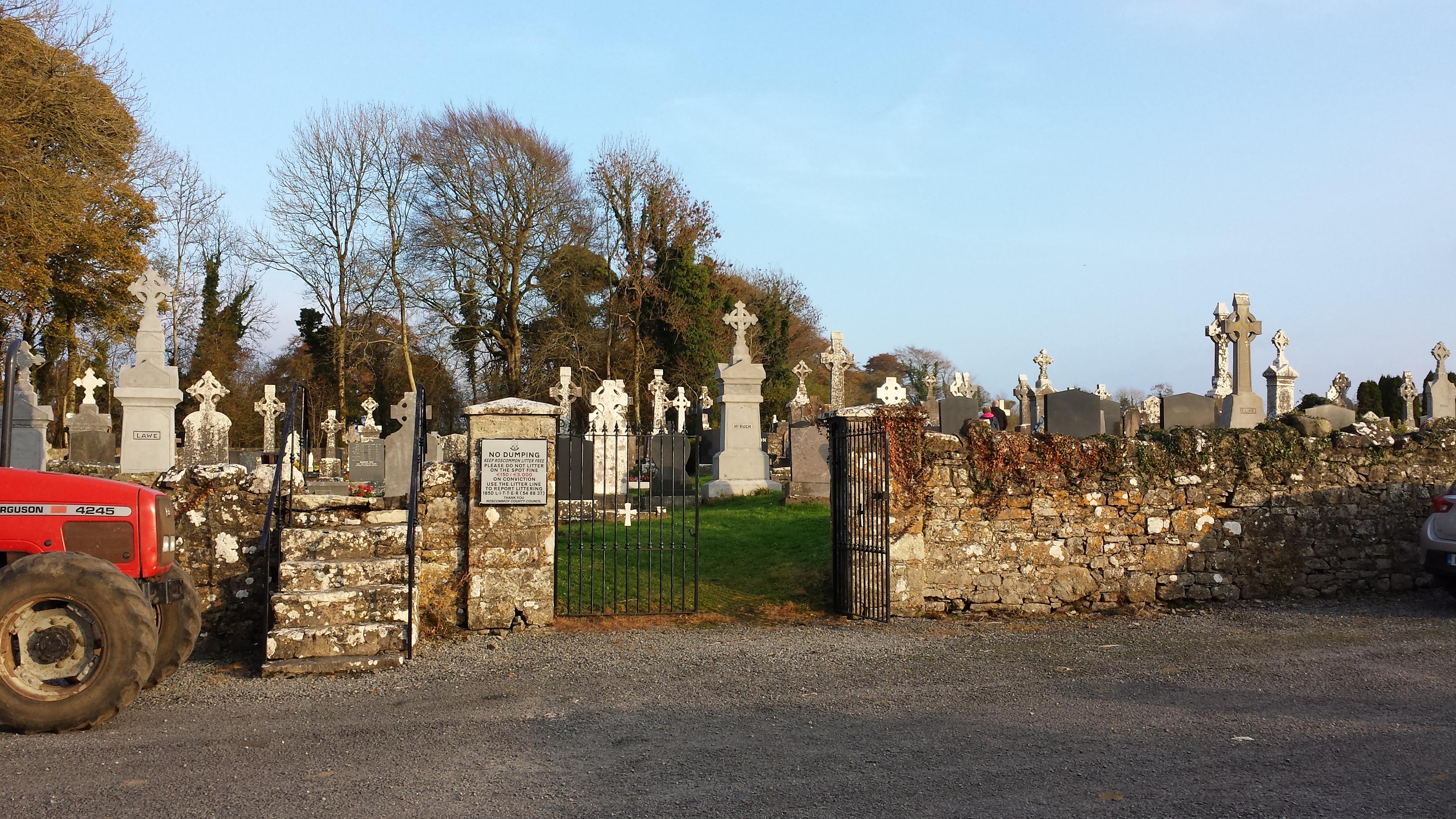
Kilglass graveyard is located c. 130m from the E shore of Kilglass Lough. Its is a rectangular graveyard (dims. 50m E-W; 40m N-S) defined by masonry walls with an entrance gate and stile on the W wall from a public road. It is probably the site of Kilglass parish church (RO024-005002-). The graveyard is now extended to the S (dim. c. 100m N-S).
Recorded as part of a training project funded by Roscommon County Council Heritage Office and the Heritage Council.