National Inventory of Architectural Heritage code:
Register of Burials available:
Location of Published Local References:
Titles of Published Local References:
Sweetman, P.D., Alcock, O. & Moran, B. (1995) Archaeological inventory of County Laois. Dublin. Dublin Stationary Office, 82
Carrigan, W. (1905) The history and antiquities of the diocese of Ossory. Dublin. Sealy, Bryers & Walker, vol 2 176
Record of Monuments & Places, Co. Laois compiled by Caimin O'Brien (2007)
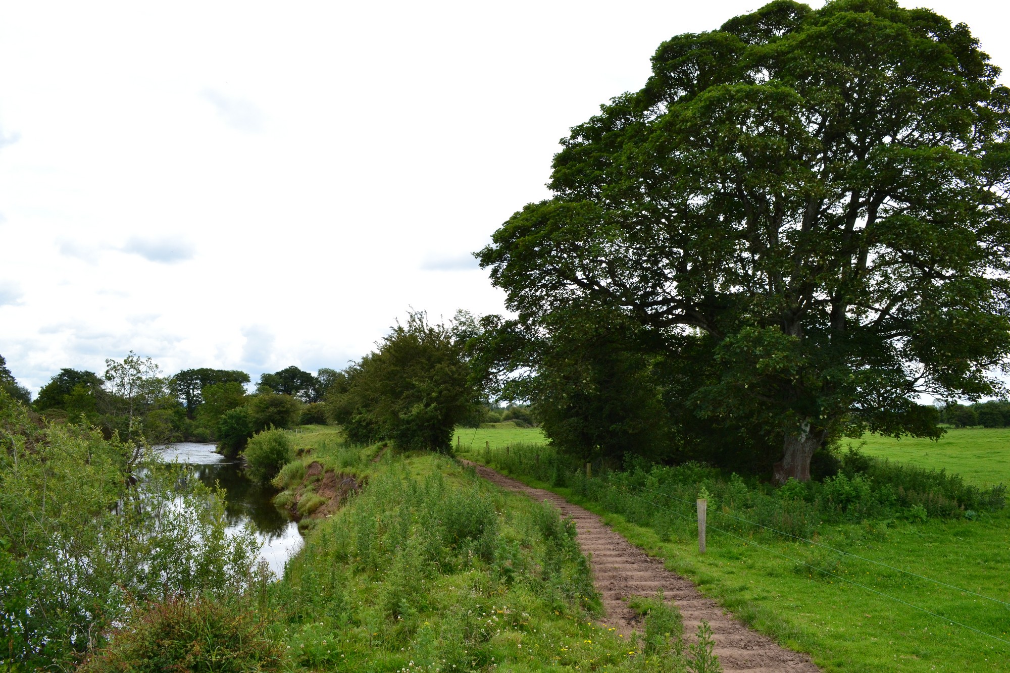


The graveyard is in rural area, surrounded by pasture land, on west bank of River Nore.
Graveyard contains ruins of medieval church marked on 1841 OS map as 'Church (in ruins)'. Possibly associated with St Brockan or Brogan. Ruins very overgrown, portion of south wall measuring c. 18m visible. Tradition of inscribed stone being moved from the church ruin to nearby Kilbricken House, probably in 19th century.
Site of graveyard very overgrown and contains no visible headstones or markers. In 19th century no local knowledge of interments within living memory.
Graveyard has no visible boundary. Boundary defined by group of mature and young trees. No paths; access to site across farmyard and fields. No visible surface trace of graveyard. Ground neglected.