Kilbarry,
Roscommon,
Ireland
Coordinates: 53.777166, -7.898129

Coordinates: 53.777166, -7.898129
| Photo | Grave | Name | Surname |
|---|---|---|---|
 |
RO-KLBY-0226 |
|
|
 |
RO-KLBY-0227 |
|
|
 |
RO-KLBY-0228 | ||
 |
RO-KLBY-0229 | ||
 |
RO-KLBY-0230 | ||
 |
RO-KLBY-0231 | ||
 |
RO-KLBY-0232 | ||
 |
RO-KLBY-0233 |
|
|
 |
RO-KLBY-0234 | ||
 |
RO-KLBY-0235 | ||
 |
RO-KLBY-0236 |
|
|
 |
RO-KLBY-0237 |

![]()
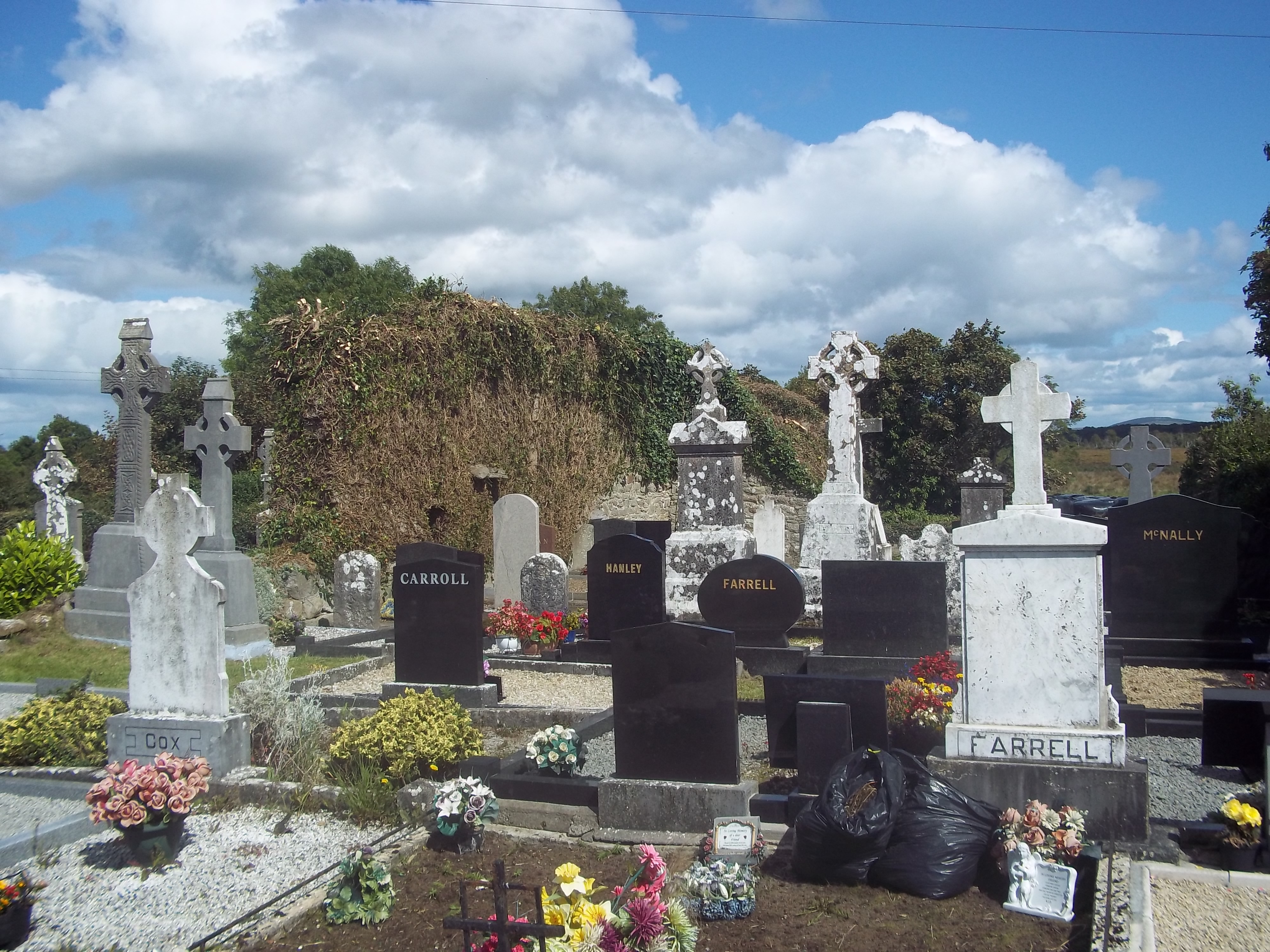
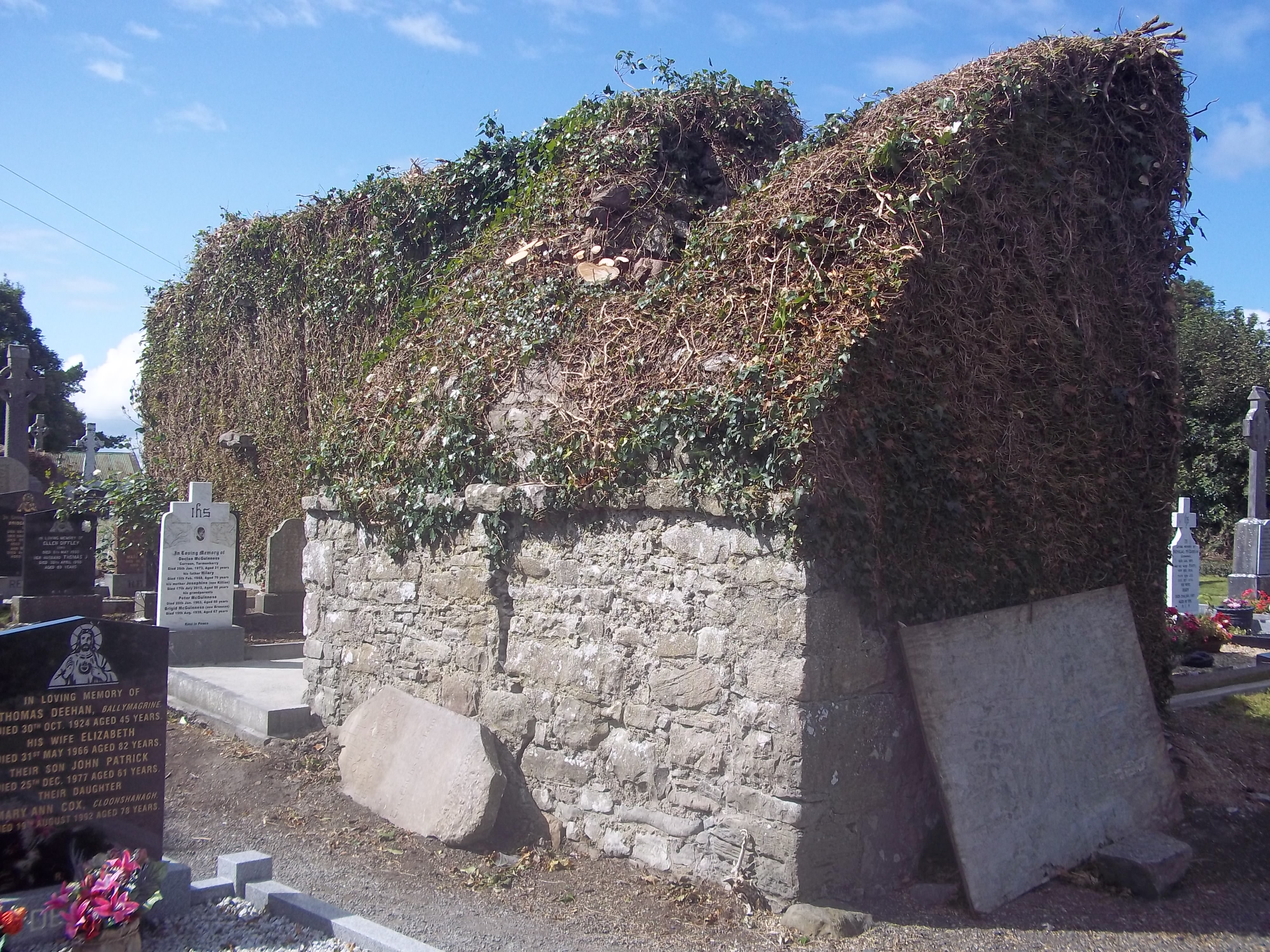
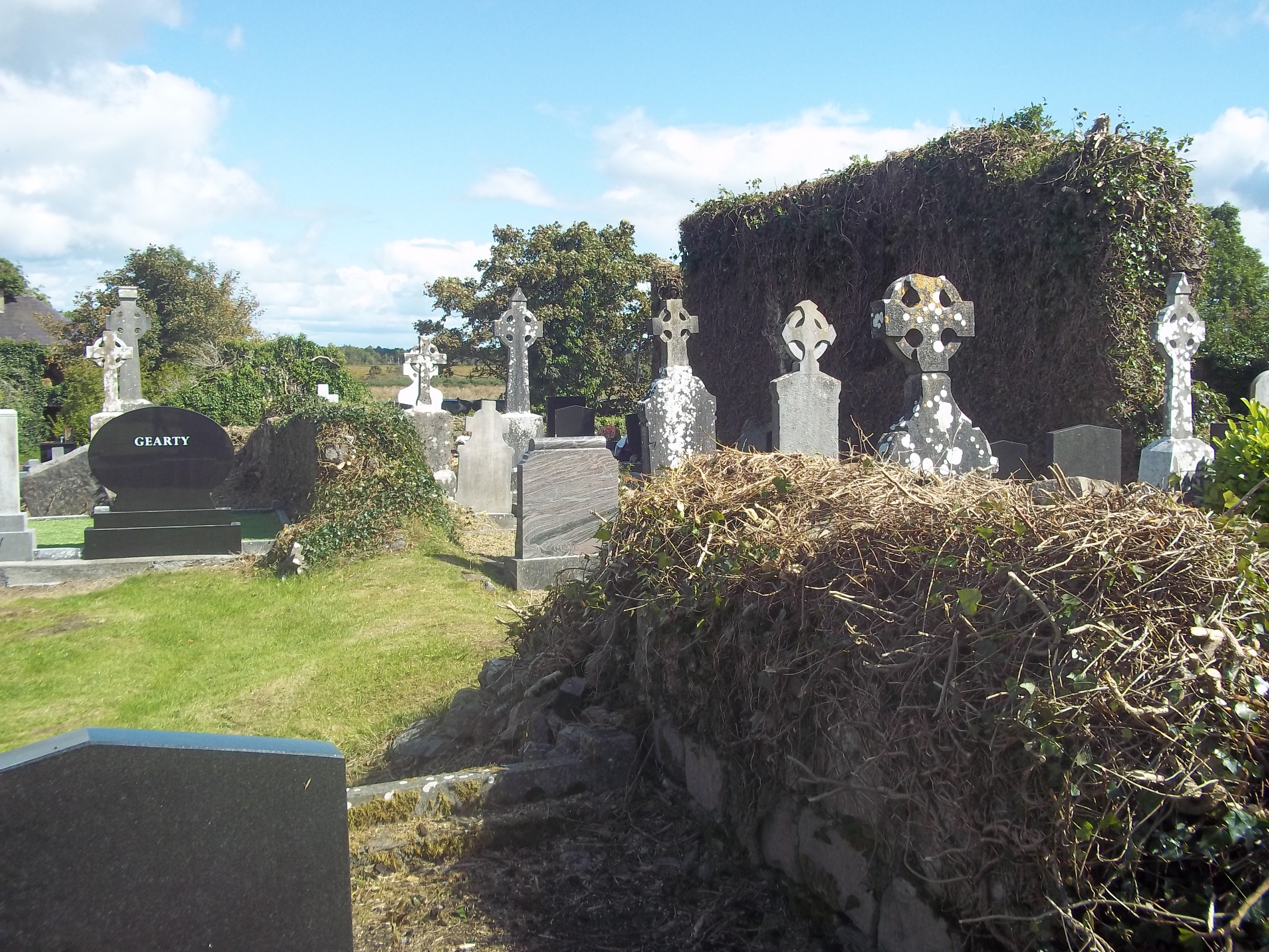
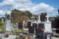
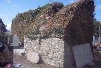
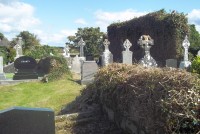
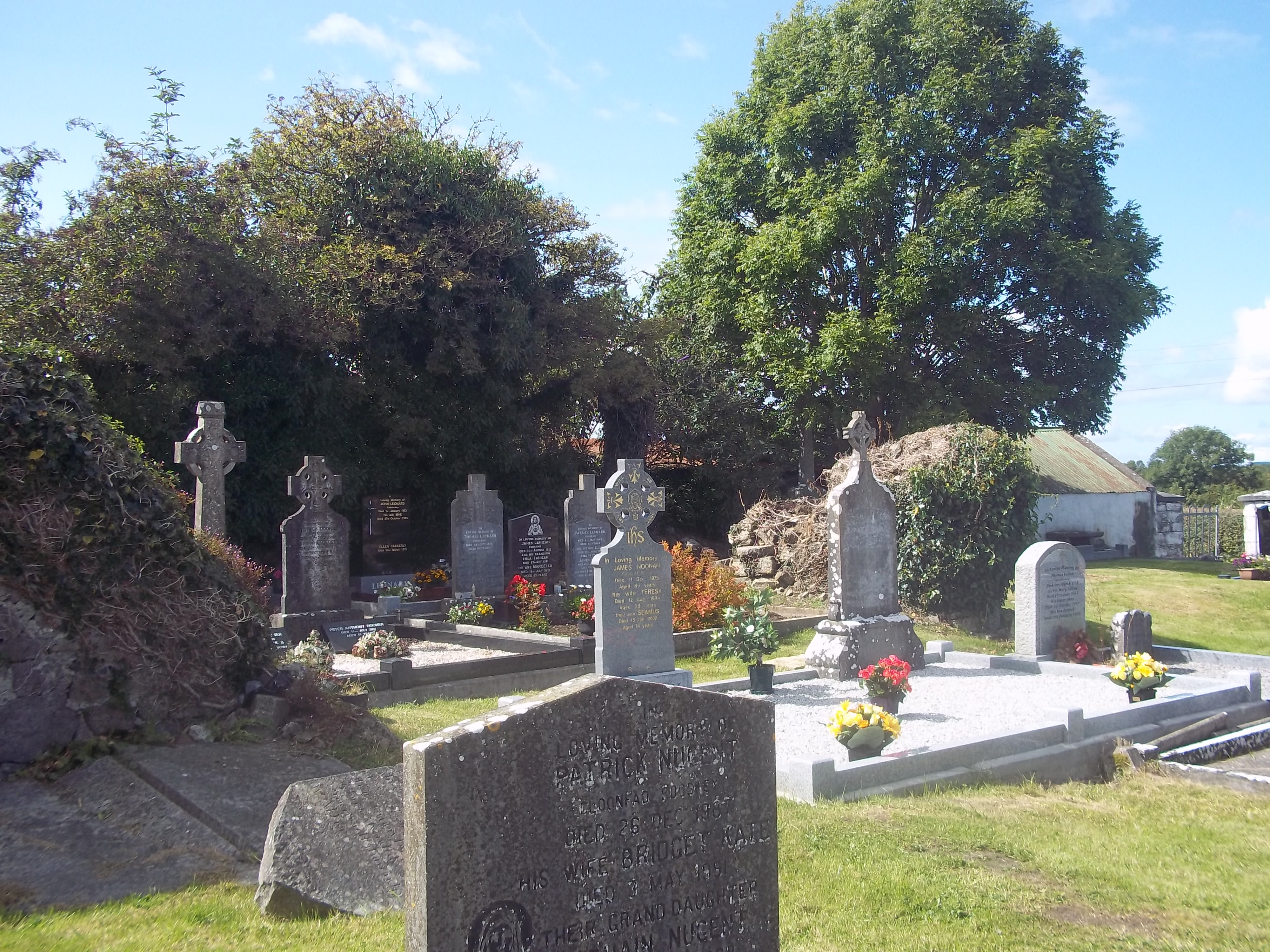
The site is situated at the E end of a low E-W ridge, c. 1 km W of Lough Forbes and the River Shannon. The early church was founded by St Barry or Berach who died in AD 615 and which was known as 'Cluain Coirpthe' The remains of two churches Teampull Mór (RO024-016001-) at the E end of the graveyard, Teach Dorcha (RO024-016003-) to the SW and Teach Geal (RO024-016004-), a medieval building - Teach Gall (RO024-016004-) - at the W end of the garveyard, and the site of a round tower (RO024-016006-). The ecclesiastical site is located within a rectangular graveyard (dims 64m E-W; 35m N-S) defined by masonry walls which have architectural fragments built into them.
Recorded as part of a training project funded by Roscommon County Council Heritage Office and the Heritage Council.