Register of Burials available:
Location of Published Local References:
Location of Inscriptions:
Titles of Published Local References:
Sweetman, P.D., Alcock, O. & Moran, B. (1995) Archaeological inventory of County Laois. Dublin. Dublin Stationary Office, 82
O'Hanlon, J. Rev. & O'Leary, E. Rev. (1914) History of the Queen's County. Sealy, Bryers and Walker, vol 2 586
Record of Monuments & Places, Co. Laois compiled by Caimin O'Brien (2007)
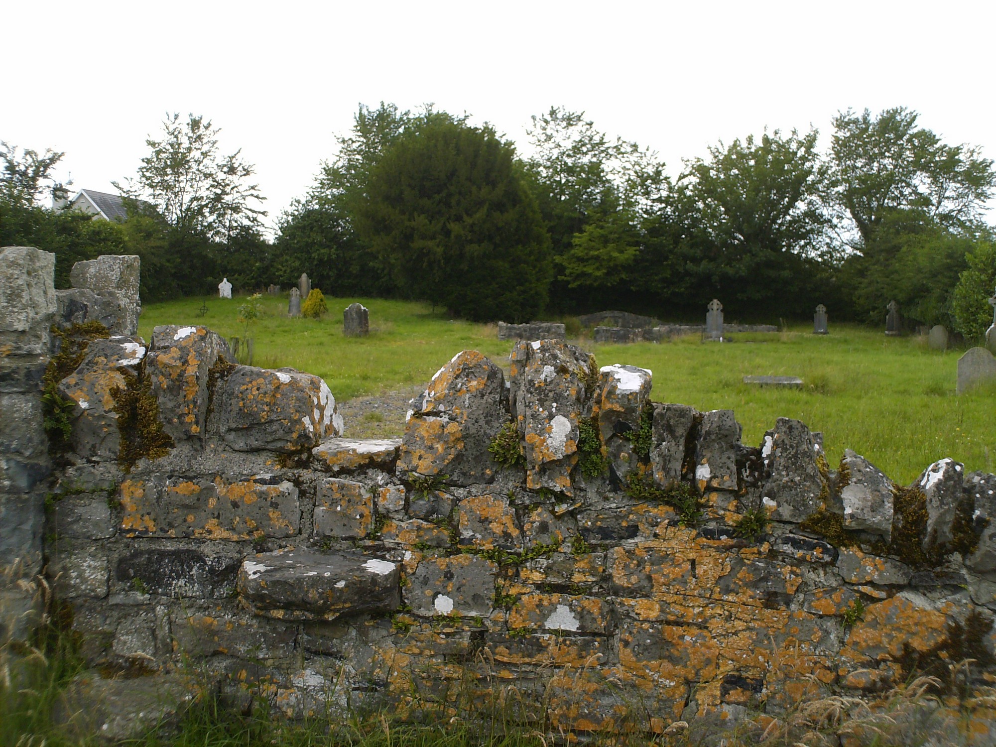


The graveyard is in village of The Heath, southeast of M7 motorway .
Graveyard contains ruin of 19th century church, marked on 1841 OS map as 'site of R.C. Chapel'. Church ruin consists of foundation walls of T-plan church, measuring c. 22m by 18m; walls appear to have been repaired/rebuilt during graveyard cleanup in late 20th century. There is a small stone font set low into the wall of church ruin.
Graveyard contains 19th to 20th century headstones , celtic style crosses, recumbent slabs and metal crosses; mostly in good condition, few leaning.
Graveyard has sub-rectangular shape; boundary stone wall intact, c. 1m high. Access via gate from village. Gravel paths from gate to church ruin. Ground surface is mainly even. Graveyard maintained, grass mown fairly regularly.