Laois,
Ireland
Coordinates: 52.911000, -7.472000
Summary
Graveyard Code:
LA-FRGH
RMP/Site number:
LA023-029001
Townland:
Farraneglish Glebe
County:
Description
Project:

Coordinates: 52.911000, -7.472000

![]()
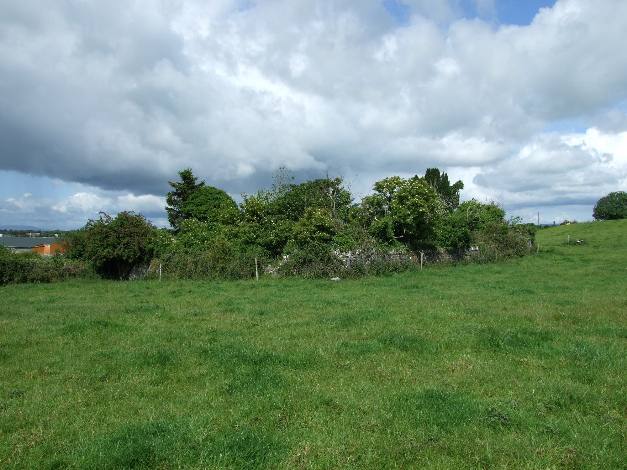
The graveyard is in rural area, within pasture land, at a roadside.
Site of graveyard contains no upstanding structures. Marked on 1841 OS map as 'Church (in ruins). Possible site of medieval nunnery. No visible surface trace of church. The actual location of site of church is north side of the road as marked on 1841 OS map, and not south side as marked by subsequent OS maps.
Site of graveyard contains no visible headstones or markers. Local name for field north of church site is 'Churchfield'; known locally that human bone discovered here during ploughing in 1950's.
Graveyard has no visible boundary. No paths; access to site from roadside. No visible surface trace of church or graveyard. Small group of trees on probable site of graveyard and church.