Register of Burials available:
Location of Published Local References:
Location of Inscriptions:
Titles of Published Local References:
Sweetman, P.D., Alcock, O. & Moran, B. (1995) Archaeological inventory of County Laois. Dublin. Dublin Stationary Office, 72
Comerford, Rev. M. (1886) Collections relating to the Dioceses of Kildare and Leighlin. Dublin, Duffy, vol 3 105-6
Record of Monuments & Places, Co. Laois compiled by Caimin O'Brien (2007)
Journal of the Association for the Preservation of the Memorials of the Dead, Ireland, 'Queen's County', (1905) 399-400
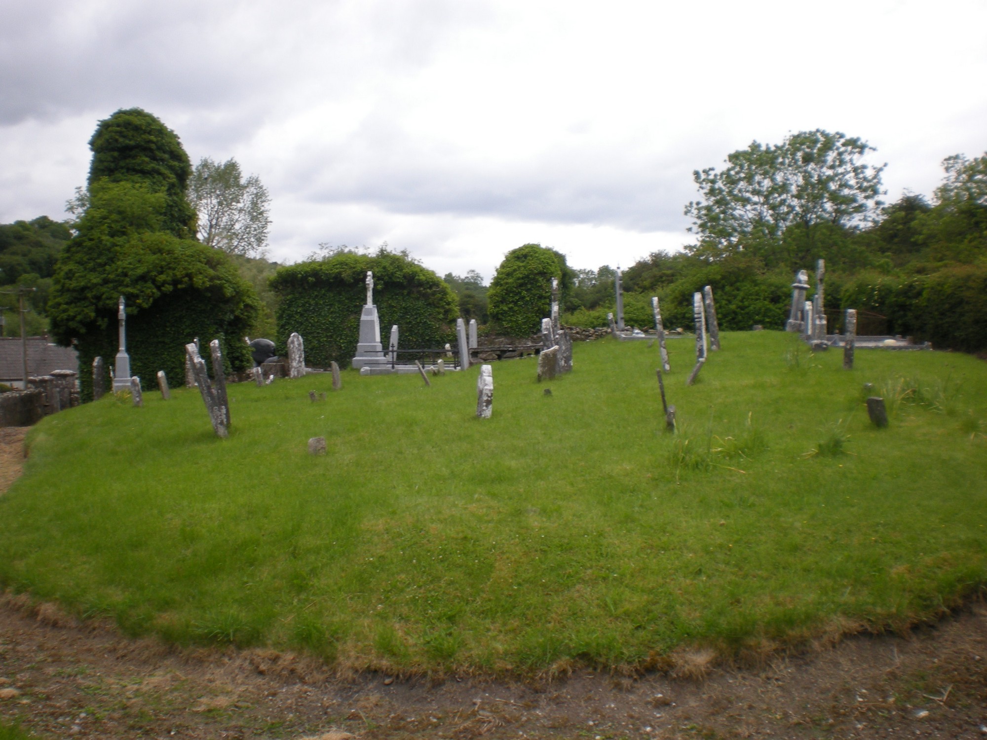


The graveyard is in rural area, surrounded by undulating pasture land, adjacent to a farmhouse and river.
Graveyard contains ruins of medieval church associated with St Monahan (died 648), marked on 1841 map as 'Dysart Church (in ruins)'. The church ruin measures approximately 13m by 7m with a segmental chancel arch in sandstone.
Graveyard contains headstones dating from 17th to 20th century, mostly upright and in good condition, with a couple recumbent, leaning or broken. Fragments of headstone dated 1636. Cross base recorded by RMP within the graveyard. Situated about 500m to northwest of graveyard is a whitethorn holy bush covered in rags tied to its branches. Base of a high cross located at the base of the holy bush possibly moved from Dysart Church.
Graveyard has triangular shape; boundary stone wall c.1m high along north and west, hedge along east. Easy access from local road with gate and stile in boundary wall. Gravel path around graveyard laid by local community late 20th century. Ground surface is level mainly with occasional bumps. The paths, grass and hedgerows are maintained.