Kilkenny,
Ireland
Coordinates: 52.744268, -7.538166
Summary
Graveyard Code:
KK-DGME
RMP/Site number:
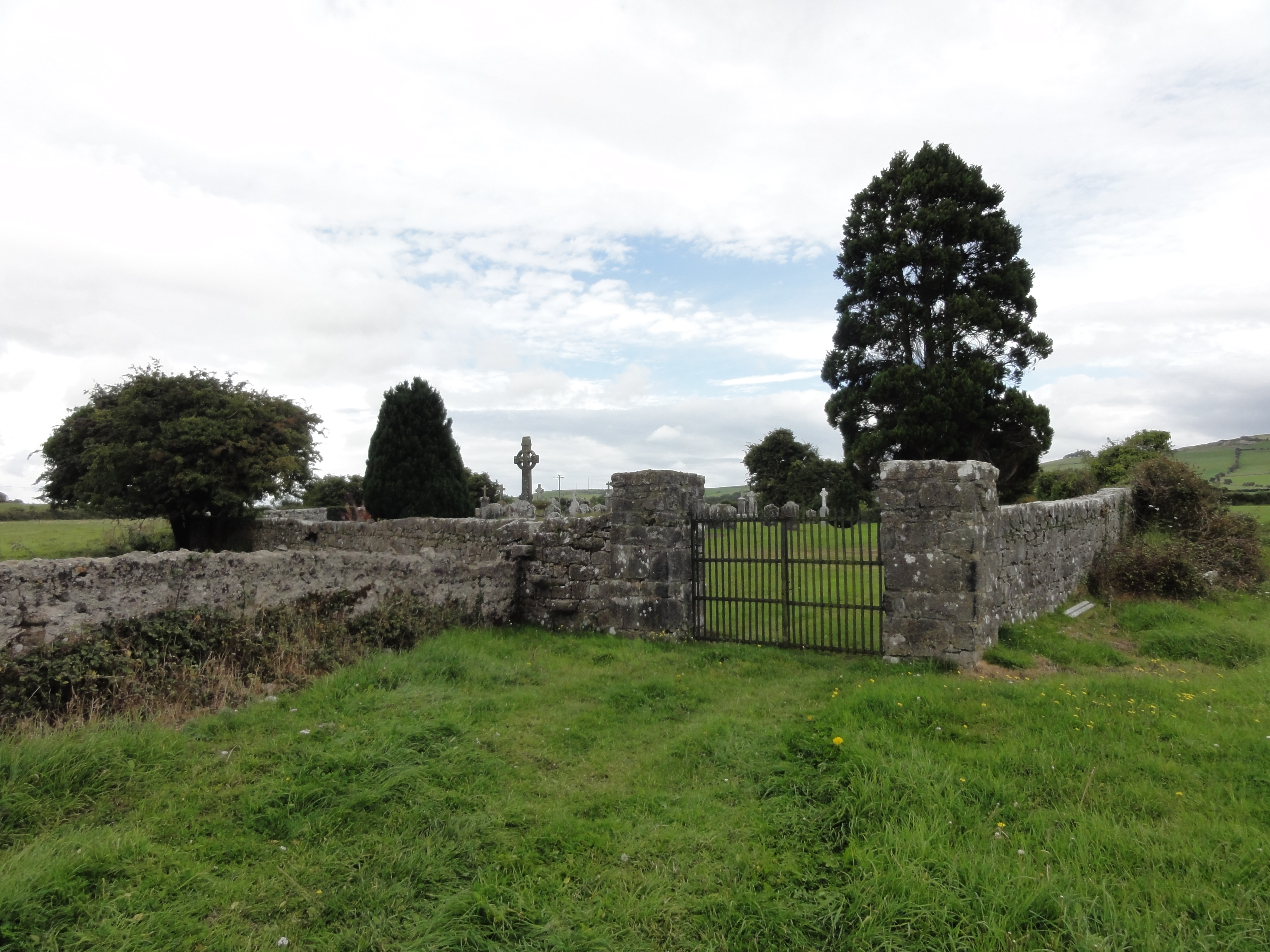
KK008-115000
Townland:
Donaghmore Upper
County:

Coordinates: 52.744268, -7.538166

![]()
The following detail has been copied from www.archaeology.ie. It lists the archaeological sites in Donaghmore Upper. The monumental structure is interesting and I wonder which memorial it is.