The graveyard is in the rural area surrounded by pasture fields, near the village of Cullahill.
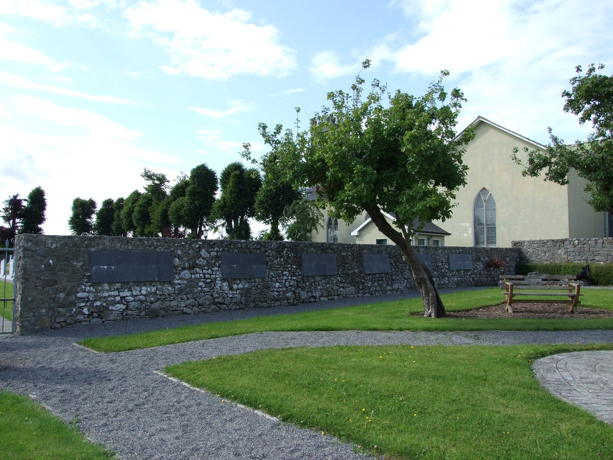
Graveyard contains a Catholic church, marked on 1841 OS map as 'R.C. Chapel'.
Graveyard contains headstones dating from 20th to 21st century; all upright.
Graveyard boundaries are mainly stone walls; wooden fence and hedge to the south. One gate; concrete paths. Located beside roadside. Ground surface is level.


The graveyard is in the rural area surrounded by pasture fields, near the village of Cullahill.
Graveyard contains a Catholic church, marked on 1841 OS map as 'R.C. Chapel'.
Graveyard contains headstones dating from 20th to 21st century; all upright.
Graveyard boundaries are mainly stone walls; wooden fence and hedge to the south. One gate; concrete paths. Located beside roadside. Ground surface is level.