Laois,
Ireland
Coordinates: 53.077000, -7.233000
Summary
Graveyard Code:
LA-CLBG
RMP/Site number:
LA008-014002; LA008-014004
Townland:
Coolbanagher
County:
Description
Project:

Coordinates: 53.077000, -7.233000

![]()
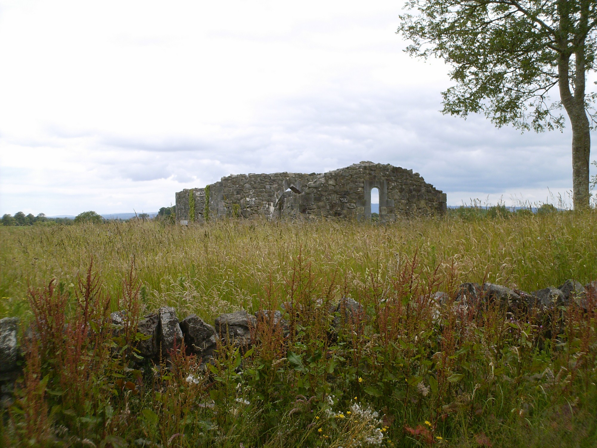
The graveyard is in rural area, surrounded by undulating pasture and crop land. Marked on 1841 OS map as 'Coolbanagher Church (in ruins)'. Graveyard has rectangular shape; boundary stone wall, intact, measuring 27m north to south, 56m east to west and c. 1m high. Access to the graveyard is through a gate in west wall from roadside. No paths; ground surface higher within graveyard than without. Graveyard maintained, grass cover high. Towerhouse located c. 100m to northeast.
The graveyard contains the ruins of a medieval church with both gables and walls remaining. The church measures c. 19m by 7m, and consists of a chancel and nave with a Romanesque doorway in the west gable. There are at least two phases of construction and the walls are covered with ivy. An Early Christian cross slab is set into internal wall of church ruins. However this is not its original position and was moved here after a recent restoration of the church. There are memorials/burials within the eastern part of the church.
The graveyard contains 18th century headstones, mainly in round headed or recumbent style; mostly in good condition, some leaning or collapsed. The earliest inscribed memorial dates to 1728 and is that of Henry Toole. A few illegible headstones possibly date to the 19th century. The memorials are located to the south and east of the church but memorials may be obscured elsewhere by long grass.