Laois,
Ireland
Coordinates: 52.962000, -7.134000
Description
Project:

Coordinates: 52.962000, -7.134000
| Photo | Grave | Name | Surname |
|---|---|---|---|
 |
LA-CLPK-0251 |
|
|
 |
LA-CLPK-0252 |
|
|
 |
LA-CLPK-0253 |
|
|
 |
LA-CLPK-0254 |
|
|
 |
LA-CLPK-0255 |
|
|
 |
LA-CLPK-0256 |
|
|
 |
LA-CLPK-0257 |
|
|
 |
LA-CLPK-0258 |

![]()
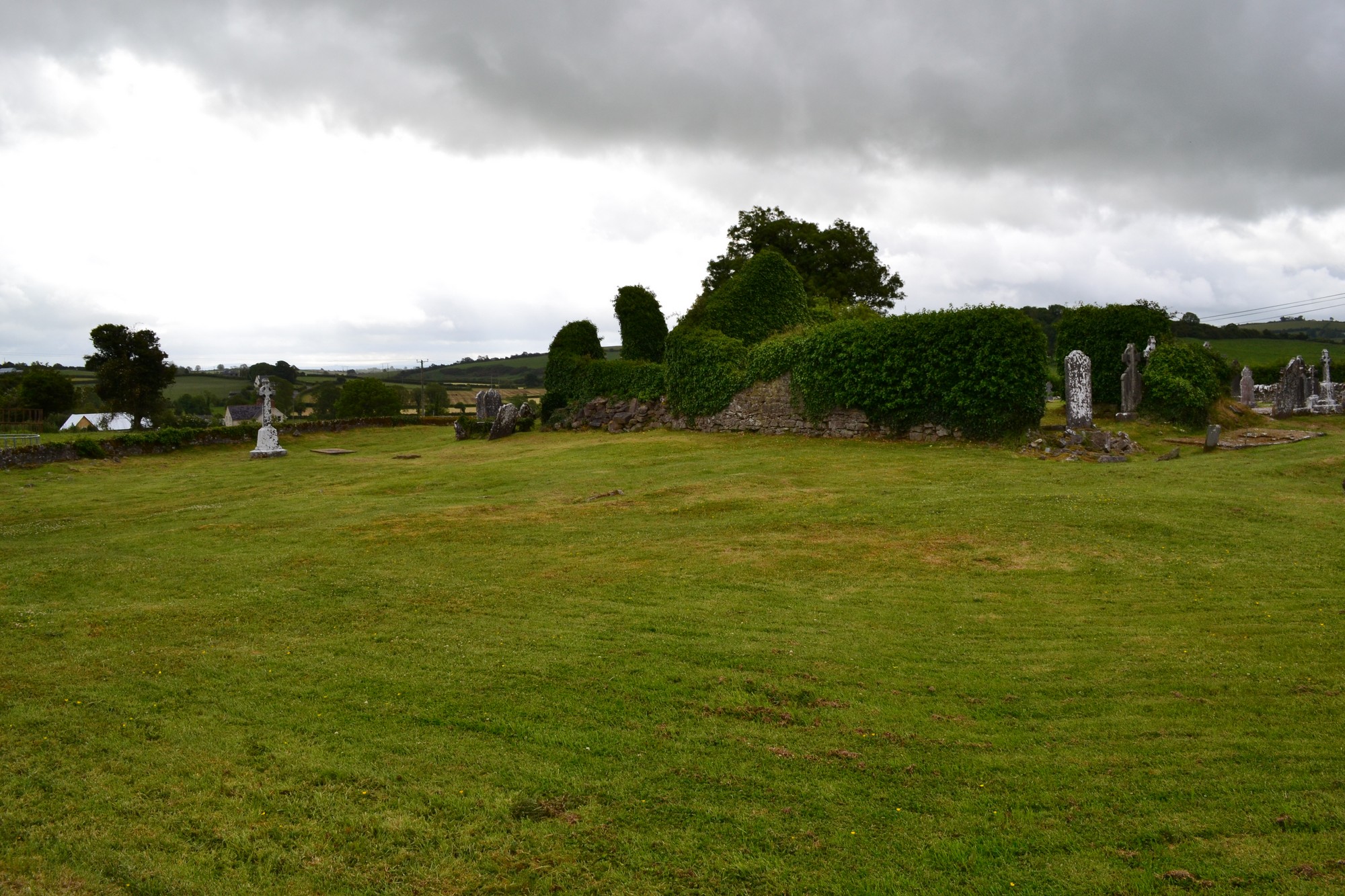
The graveyard is in rural area, on high ground, surrounded by pasture land.
Graveyard contains ruin of medieval church. Marked on 1841 OS map as 'Church (in ruins)'. Ruins measure c. 21m by 9m and consist of nave and chancel divided by arched opening. The walls of ruin whilst very overgrown with ivy are kept trimmed. A hillfort, the 'Dun of Clopook', is located c. 200m northeast.
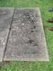
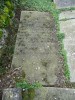
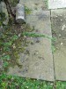
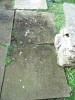
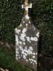
Graveyard contains 18th to 20th century headstones, in mostly good condition; a number are leaning, worn or illegible. Between 15-20% of memorials are table or slab tombs, many 18th century; earliest memorial dated 1706 situated within the church ruins.
Graveyard has D-shape. Stone wall boundary is intact, c. 1.5m high. No paths; access to graveyard from roadside through gate and stile. Ground surface undulates and is higher within graveyard than without. Ground is maintained and grass regularly mown.