Sweetman, P.D., Alcock, O. & Moran, B. (1995) Archaeological inventory of County Laois. Dublin. Dublin Stationary Office, 78
Comerford, Rev. M. (1886) Collections relating to the Dioceses of Kildare and Leighlin. Dublin, Duffy, vol 3, 107-7
Record of Monuments & Places, Co. Laois compiled by Caimin O'Brien (2007)
O'Brien, K.P., (1998) Abbeyleix, life, lore & legend, Franamanagh Books, 28-30


The graveyard is in rural area, surrounded by undulating pasture land.
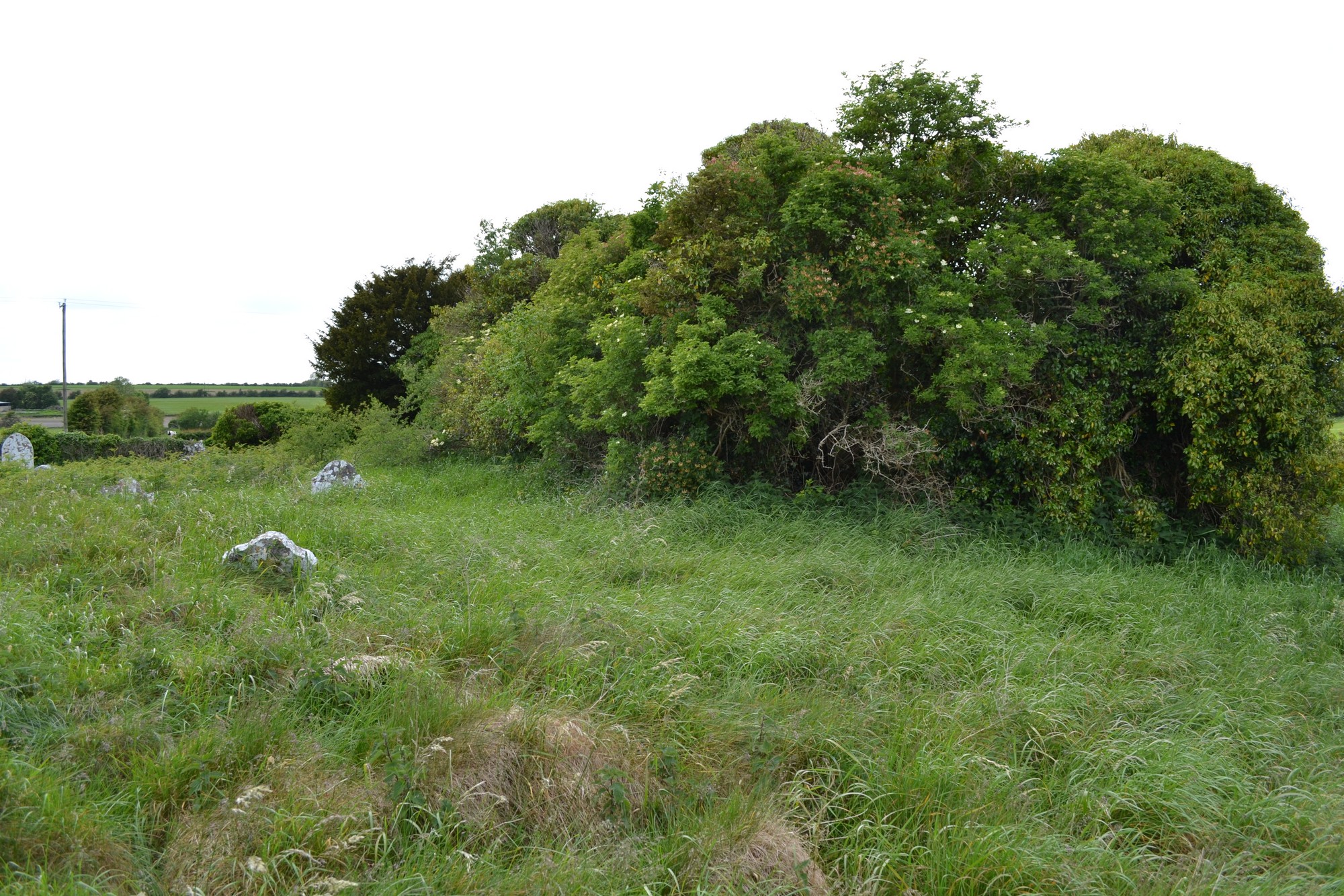
Graveyard contains ruins of medieval church, marked on 1841 OS map as 'Clonkeen Church (in ruins)'. Church ruins very overgrown and consist of nave with dividing wall; measures c. 7m by 15m.
Graveyard contains 18th to 19th century headstones; some upright but most are leaning, collapsed or damaged.
Graveyard has irregular shape; boundary stone wall, intact, c. 1m high; access via gate and stile from across fields. No paths; ground surface higher within graveyard than without. Graveyard neglected and derelict.