Register of Burials available:
Location of Published Local References:
Titles of Published Local References:
Sweetman, P.D., Alcock, O. & Moran, B. (1995) Archaeological inventory of County Laois. Dublin. Dublin Stationary Office, 76
Comerford, Rev. M. (1886) Collections relating to the Dioceses of Kildare and Leighlin. Dublin, Duffy, vol 3, 76
Record of Monuments & Places, Co. Laois compiled by Caimin O'Brien (2007)
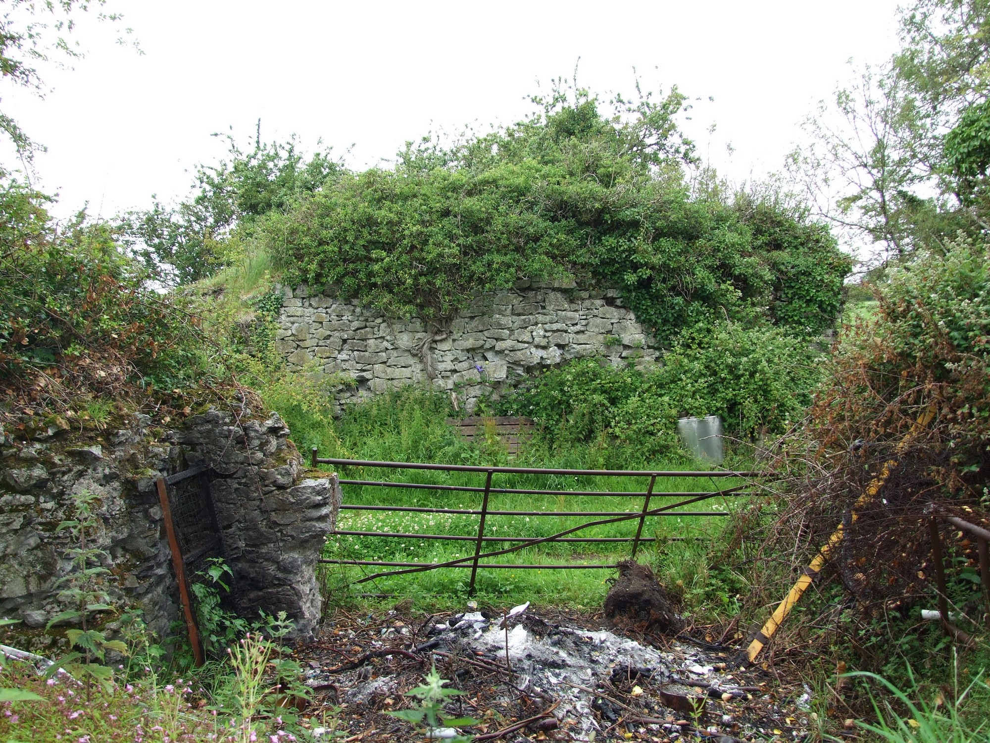


The graveyard is in rural area, surrounded by undulating pasture land, beside a modern farm yard.
Graveyard contains ruins of medieval church, marked on 1841 OS map as 'Monastery (in ruins)'. This 'monastery' remains unclassified; associated with St Fintan. The ruins consist of fragmentary walls, including part of a stair tower and a vaulted area; modern rubbish has been dumped amongst the remains which are very overgrown.
Graveyard contains no visible headstones or markers.
Graveyard has no visible surface boundary and no paths. Ground surface around the ruined church is uneven and overgrown.