Register of Burials available:
Location of Published Local References:
Location of Inscriptions:
Titles of Published Local References:
Sweetman, P.D., Alcock, O. & Moran, B. (1995) Archaeological inventory of County Laois. Dublin. Dublin Stationary Office, 75
Carrigan, W. (1905) The history and antiquities of the diocese of Ossory. Dublin. Sealy, Bryers & Walker, vol 2 173-4
Record of Monuments & Places, Co. Laois compiled by Caimin O'Brien (2007)
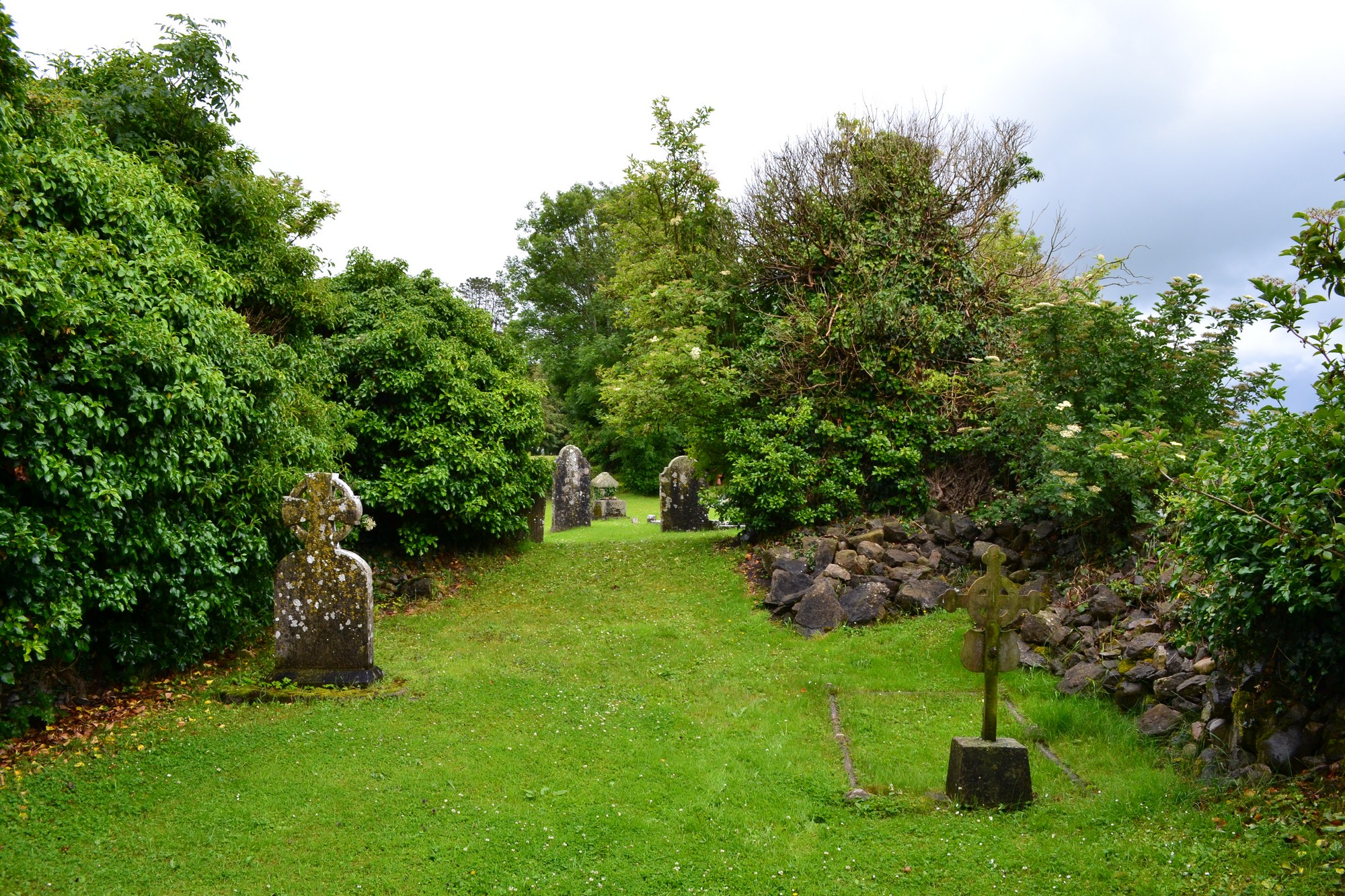


The graveyard is in rural area, surrounded by pasture land, on south side of Castletown.
Graveyard contains ruins of medieval church associated with St Cedus, marked on 1841 OS map as 'Church (in ruins)'. The ruins measure c. 16m by 9m and are very overgrown.
Graveyard contains 19th to 21st century headstones; types include rounded, celtic crosses, metal crosses, table tombs, railed tombs; mostly in good condition, with some leaning, collapsed or overgrown by planted bushes. A number of small uninscribed stone markers noted. Some 19th century memorials visible within church ruins.
Original graveyard has D-shape, with later rectangular extension to south; original boundary is stone wall, intact, c. 1m high; extension boundary is concrete block wall; access via gate and stile from roadside. No paths. Ground surface is higher within graveyard boundaries than without. Ground mostly maintained and grass regularly mown.
Font & Holed stone referred to in RMP are no longer present on site.