Register of Burials available:
Location of Published Local References:
Titles of Published Local References:
Sweetman, P.D., Alcock, O. & Moran, B. (1995) Archaeological inventory of County Laois. Dublin. Dublin Stationary Office, 77
Comerford, Rev. M. (1886) Collections relating to the Dioceses of Kildare and Leighlin. Dublin, Duffy, vol 3, 339
O'Hanlon, J. Rev. & O'Leary, E. Rev. (1907) History of the Queen's County. Sealy, Bryers and Walker, vol 1 210-211
Record of Monuments & Places, Co. Laois compiled by Caimin O'Brien (2007)
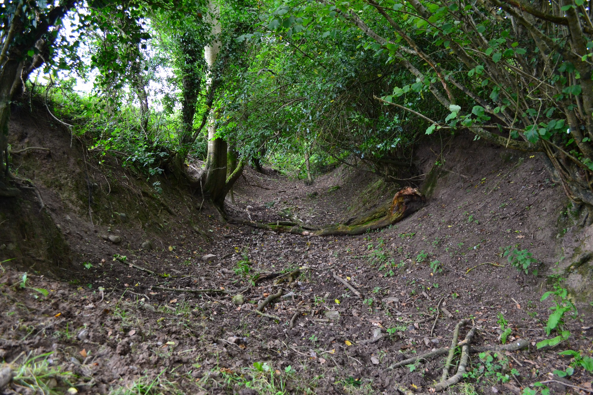


The graveyard is in rural area, surrounded by pasture land.
Graveyard contains no upstanding structures. Marked on 1841 OS map as 'Site of Church' in 'Churchfield'; possible birth place of St Fintan of Clonenagh. No visible surface trace of church.
Graveyard contains no headstones or markers; local tradition that burials continued until early 19th century.
Graveyard has no boundary. No paths; access to site across fields. No visible surface trace of church or graveyard.