Register of Burials available:
Location of Published Local References:
Titles of Published Local References:
Sweetman, P.D., Alcock, O. & Moran, B. (1995) Archaeological inventory of County Laois. Dublin. Dublin Stationary Office, 75
Carrigan, W. (1905) The history and antiquities of the diocese of Ossory. Dublin. Sealy, Bryers & Walker, vol 2 233
Record of Monuments & Places, Co. Laois compiled by Caimin O'Brien (2007)
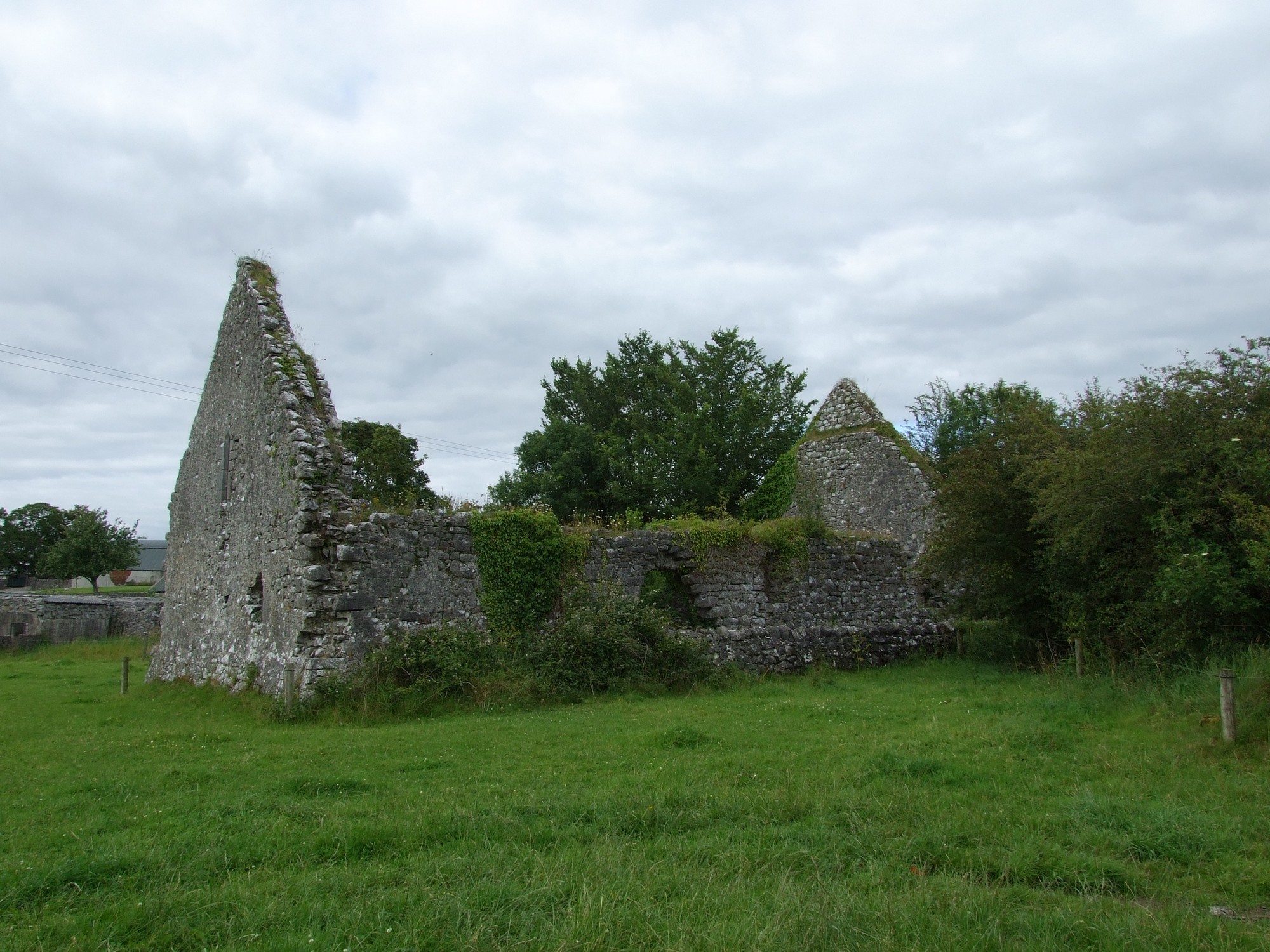


The graveyard is on southeast edge of village of Cullahill, adjacent to farmhouse and pasture land.
Graveyard contains ruins of late 16th century church, the private chapel of Catholic Lords of Upper Ossory, marked on 1841 OS map as 'R.C. Chapel (in ruins)'. The ruins are partially overgrown and consist of upstanding rectangular structure measuring c. 20m by 10m.
Graveyard contains no visible headstones or markers; seemingly last used in mid 19th century.
Graveyard has irregular shape; stone wall boundary, intact, c. 1m high; access from village along laneway via gate; no internal paths. Ground not maintained.