The graveyard is in rural area, adjacent to farmhouses along private road.
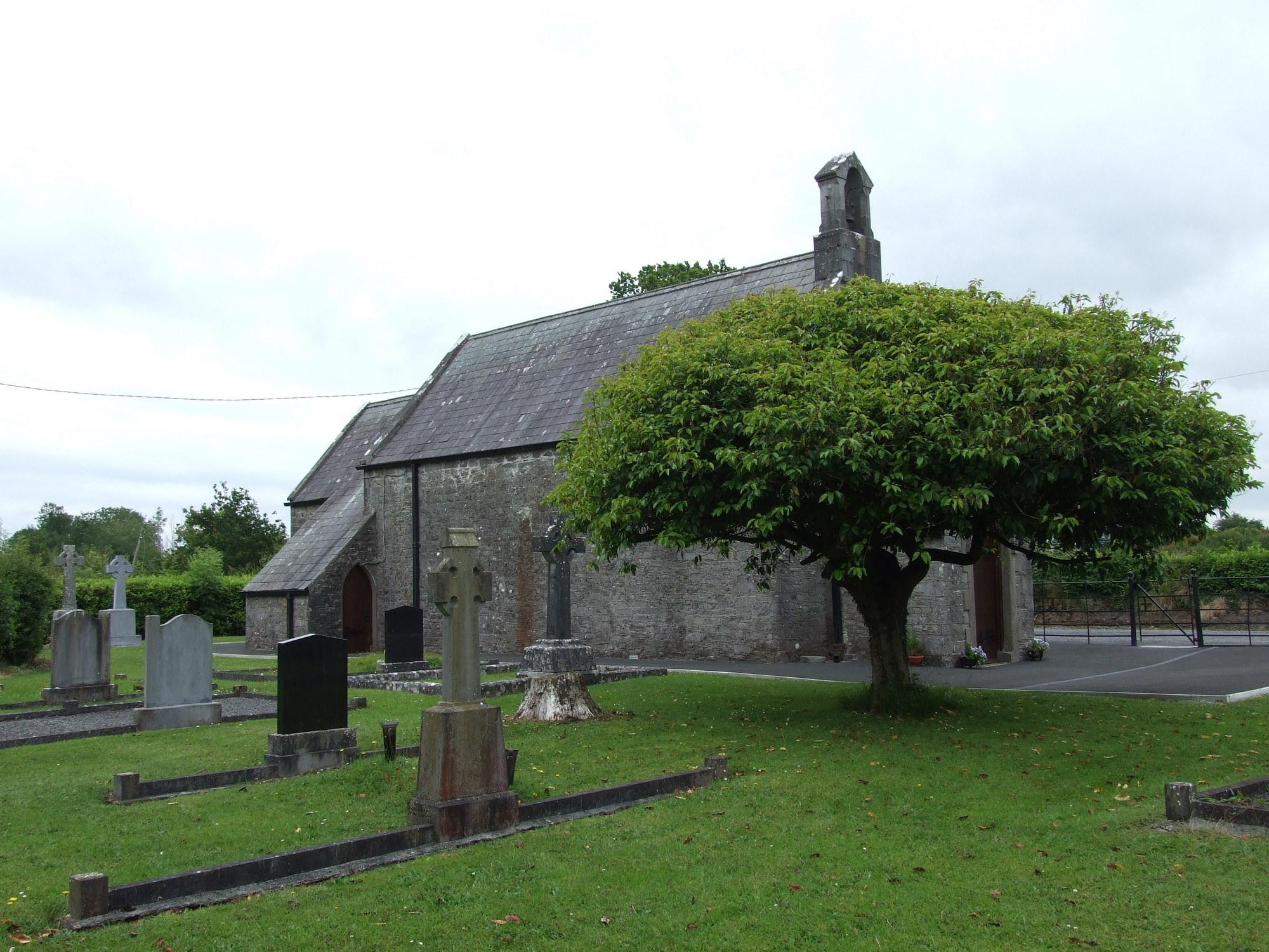
Graveyard contains a church, possibly unused, marked on 1913 OS map as 'Church' and 'Graveyard'.
Graveyard contains headstones dating from 20th century; all upright.
Graveyard has an L-shape; boundary type is mainly iron railing but partly stone wall. Concrete path leads to church, gravel around it. Located beside roadside. Ground surface is level.


The graveyard is in rural area, adjacent to farmhouses along private road.
Graveyard contains a church, possibly unused, marked on 1913 OS map as 'Church' and 'Graveyard'.
Graveyard contains headstones dating from 20th century; all upright.
Graveyard has an L-shape; boundary type is mainly iron railing but partly stone wall. Concrete path leads to church, gravel around it. Located beside roadside. Ground surface is level.