Register of Burials available:
Location of Published Local References:
Location of Inscriptions:
Local Studies Section, Laois County Library
Titles of Published Local References:
Sweetman, P.D., Alcock, O. & Moran, B. (1995) Archaeological inventory of County Laois. Dublin. Dublin Stationary Office, 75
O'Hanlon, J. Rev. & O'Leary, E. Rev. (1907) History of the Queen's County. Sealy, Bryers and Walker, vol 1 199
Record of Monuments & Places, Co. Laois compiled by Caimin O'Brien (2007)
Campbell, R. & Dunne, B. (1990) Tombstone Inscriptions of Casthebrack, Compiled by Rosaleen Campbell and Bridie Dunne, Laois
Mac C
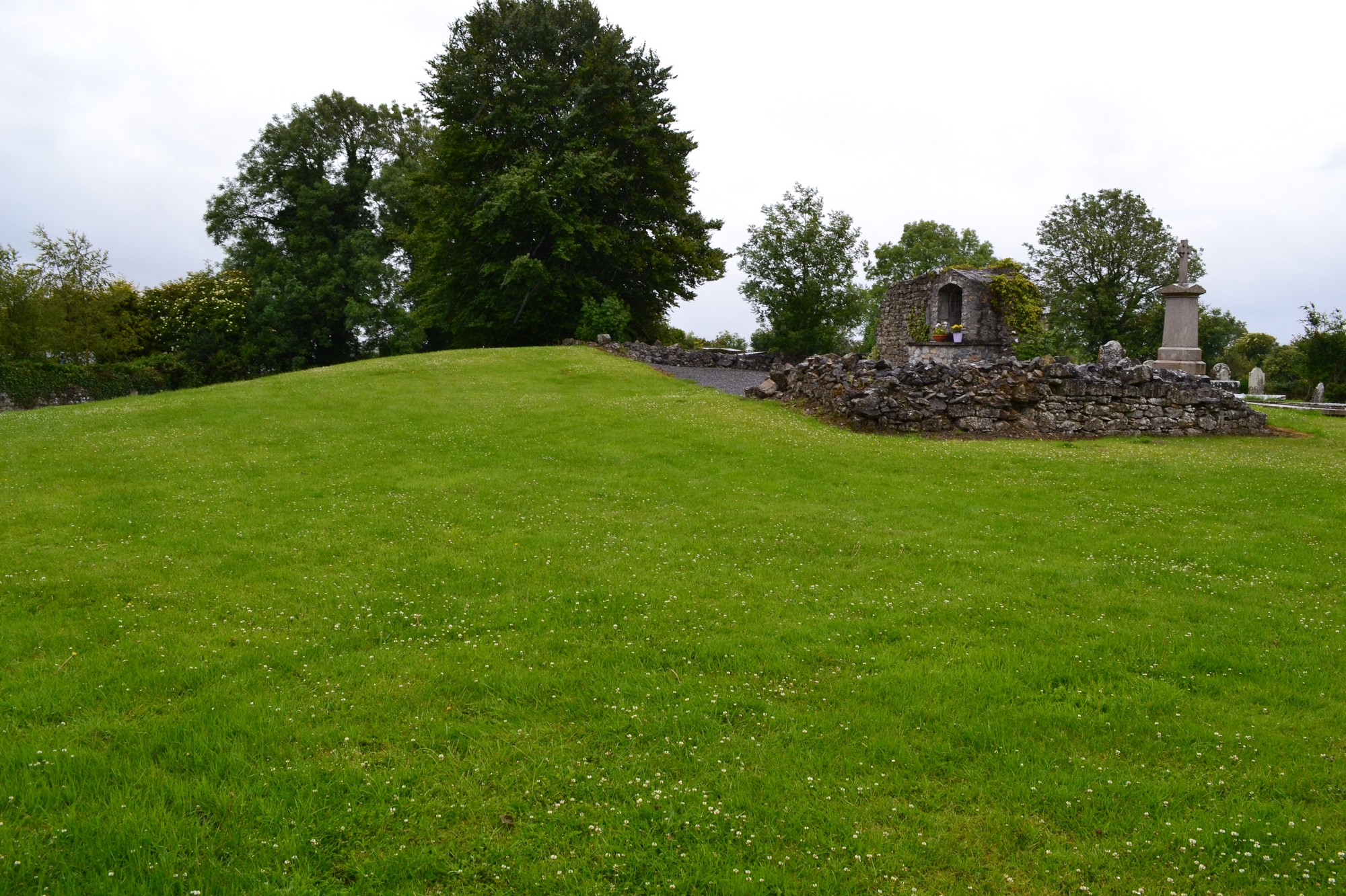


The graveyard is in rural area, surrounded by undulating pasture land.
Graveyard contains ruins of medieval church situated on rising ground within centre of graveyard; marked on 1841 OS map as 'Church (in ruins)'. The ruins consist of portion of south wall with a modern grotto insertion; a dump of collapsed rubble stone is situated adjacent to ruin. Medieval architectural fragments noted in roadside boundary wall which dates from 20th century clean-up.
Graveyard contains 19th to 21st century headstones; round headed, celtic cross style and table tombs; in mostly good condition with some leaning, collapsed or damaged.
Graveyard has rectangular shape; roadside boundary is stone wall (intact, c. 1m high), hedgerows elsewhere; access via gate and stile from roadside. No paths; ground rises towards middle of graveyard; ground maintained and grass mown.