Sweetman, P.D., Alcock, O. & Moran, B. (1995) Archaeological inventory of County Laois. Dublin. Dublin Stationary Office, 73
FitzGerald, Lord W. (1904) The history and antiquities of the Queen's County barony of Portnahinch. Part I, Journal of Kildare Archaeological Society, Kildare, JKAS vol 4, 192
Record of Monuments & Places, Co. Laois compiled by Caimin O'Brien (2007)
Journal of the Association for the Preservation of the Memorials of the Dead, Ireland, 'Queen's County', (1893) 348-350, (1913) 446-7


The graveyard is in rural area, surrounded by pasture land.
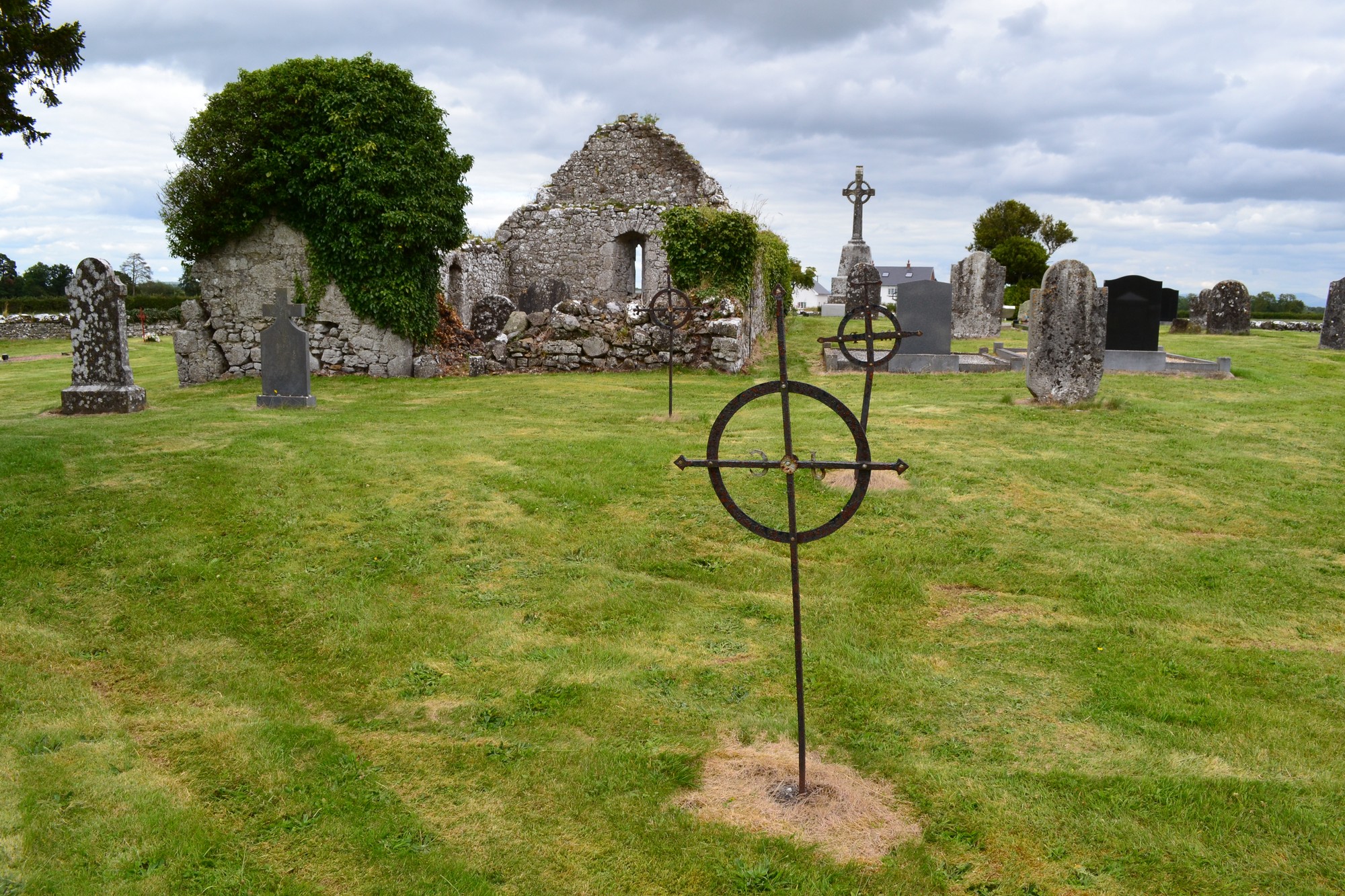
Graveyard contains a ruins of a medieval church, marked on 1841 OS map as 'Church (in ruins)'. Church ruins measure approximately 13m by 8m. Walls and gables mainly intact; partially overgrown with brambles and ivy.
Graveyard contains some headstones visibly dating from 18th to 21st century; including some celtic, rounded and iron crosses; mostly good condition, some leaning; recent burial in 2006.
Graveyard has subrectangular shape; boundary stone wall c. 1m high intact but overgrown. Ground within graveyard higher than without. Laneway flanked with concrete block wall leads from local road to a gate and stile; no paths within graveyard. The laneway and grass are maintained.