The graveyard is in the village of Ballaghmore.
Graveyard contains a Catholic church dedicated to St Molua (built 1812, extensively renovated 1978); marked on 1841 OS map as 'R.C. Chapel'; 1913 OS map has 'St. Molua's Trough' marked in addition, this appears to be the same as RMP (LA015-033), a sarcophagus.
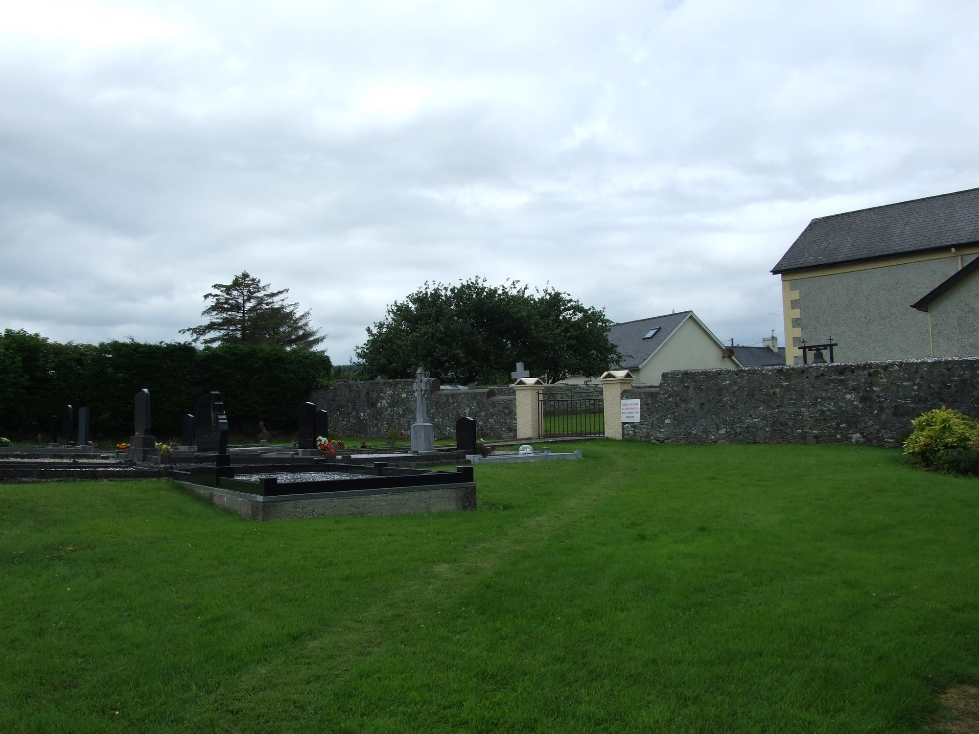
Graveyard contains headstones dating from 20th and 21st centuries; all upright.
Stone boundary wall around the church, and hedge around the modern graveyard; concrete path up to and around church, and also through the burial ground. Easy access from village road. Ground surface undulating, sloping upwards to the east.


The graveyard is in the village of Ballaghmore.
Graveyard contains a Catholic church dedicated to St Molua (built 1812, extensively renovated 1978); marked on 1841 OS map as 'R.C. Chapel'; 1913 OS map has 'St. Molua's Trough' marked in addition, this appears to be the same as RMP (LA015-033), a sarcophagus.
Graveyard contains headstones dating from 20th and 21st centuries; all upright.
Stone boundary wall around the church, and hedge around the modern graveyard; concrete path up to and around church, and also through the burial ground. Easy access from village road. Ground surface undulating, sloping upwards to the east.