
Explore, protect, promote
CO-FARY-013
Record Date:
24 July 2012
Graveyard:
People commemorated:
Name:
Unknown
Notes:
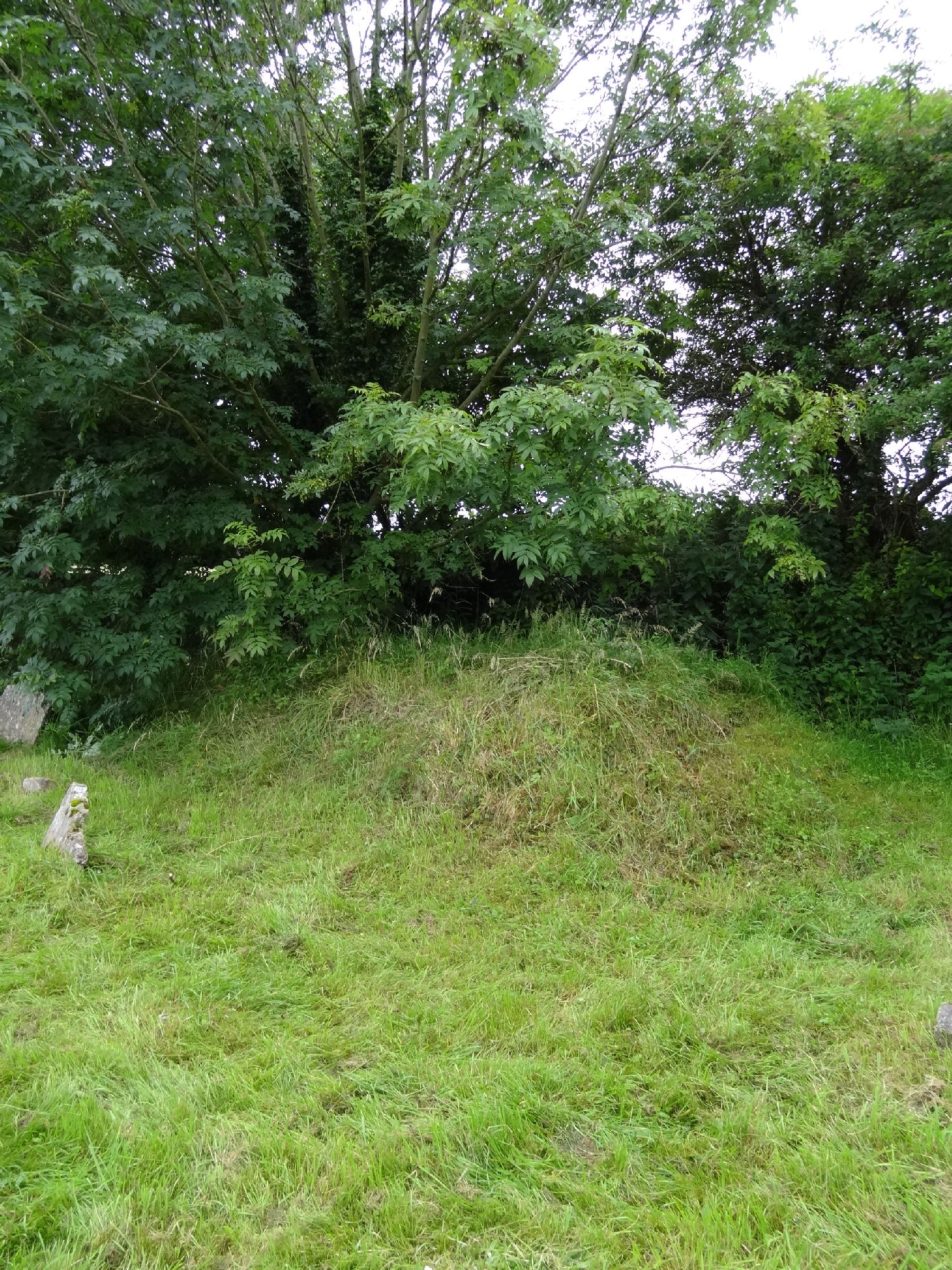
Burial mound in southwest corner of graveard with mature tree growing out of southern end. burial mound of Famine victims (1845-1847) for which memorial #6 was erected by Kildorrery Historical Society in 1996 to commerate.
mound app. 4m n/s and 3m e/w . Some medium stones visible around bass of mound
which is 1-1.5m high.
Local reference states mound is actually a collasped burial tomb and not the site of the famine grave which is supposedly located in the southwest corner under memorial #6. Local knowledge states the collapsed burial holds the remains of possibly 4 young males of the Nash Family

![]()